
When planning Istanbul walking tours, the key isn't just which neighborhood to explore, but where your route begins and ends. The short answer: start your route at a high-elevation public transport station, use the downhill slope to your advantage as you descend towards the coast, and conclude your walk at a ferry dock. Along the way, balance main thoroughfares with charming side streets, adjust for the angle of light on building facades, and strategically place your breaks where the incline changes, not just randomly. Climbing the same hill twice, arriving at a closed museum, and neglecting your return journey are three classic mistakes that can spoil your day. This guide will walk you through the steps of crafting such a route, detailing which transport lines work best for starting and ending points, and how to avoid common pitfalls.
Quick Facts
| Topic | Detail |
|---|---|
| Guide's Focus | Route planning for neighborhood walks: elevation, anchors, light, breaks |
| Core Principle | Start high, end at the coast; don't climb the same hill twice |
| Starting Anchor | Metro, tram, or Marmaray station |
| Ending Anchor | Istanbul City Ferries dock |
| Recommended Duration | 2.5 to 4 hours for a half-day with stops, including breaks |
| Terrain | Cobblestones, steep stairs, coastal paths; wear thick-soled shoes |
| Best Season | April-May and September-October; shaded hours in summer |
What to Discover on Your Istanbul Walking Tour
A neighborhood walk isn't just about ticking off a list of sights; it's about uncovering layers of history and culture. If you decide which layer to prioritize when planning your route, it will become clear which streets to explore and which to bypass.
Civil Architecture and Facade Details
On hillsides where the traditional wooden house fabric is preserved, you'll spot bay windows, wrought-iron railings, ornate door knockers, and carved eaves right from street level. This layer demands a slower pace: plan to spend twenty minutes exploring a street instead of ten. In areas dominated by masonry stone facades and neoclassical apartments, the architectural texture shifts dramatically; a route that traces the boundary between these two styles tells the story of the city's different eras through your footsteps.
Coexisting Places of Worship
Neighborhoods where mosques, churches, and synagogues stand within a few hundred meters of each other are a distinctive layer of Istanbul's identity. Most of these structures are not just tourist museums but active places of worship; visiting hours are often restricted during prayer times, and some may require prior arrangement. When planning your route, don't assign fixed times to these stops; keep your schedule flexible. To visit all three structures in sequence at the right times requires a separate, detailed plan; those who prefer a ready-made itinerary might consider guided cultural tour options in Istanbul.
Bazaars, Crafts, and Artisan Streets
Areas bustling with fishmongers, spice vendors, antique dealers, and second-hand booksellers come alive at specific times of the day. Mornings, when shopkeepers are opening their shutters, are ideal for observation; by afternoon, these same streets can become quite crowded. Placing this layer at the beginning of your route allows you to make way for the quieter hillside sections later in the day.
Coastal Line and Skyline Views
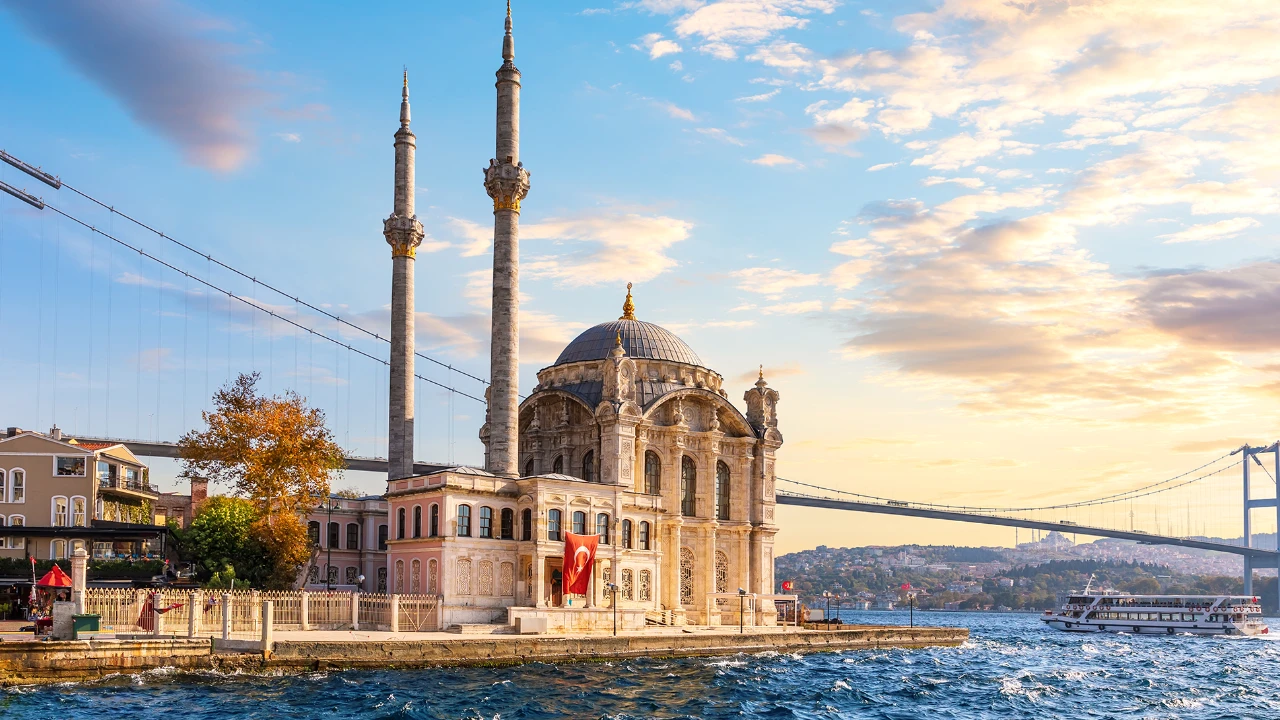
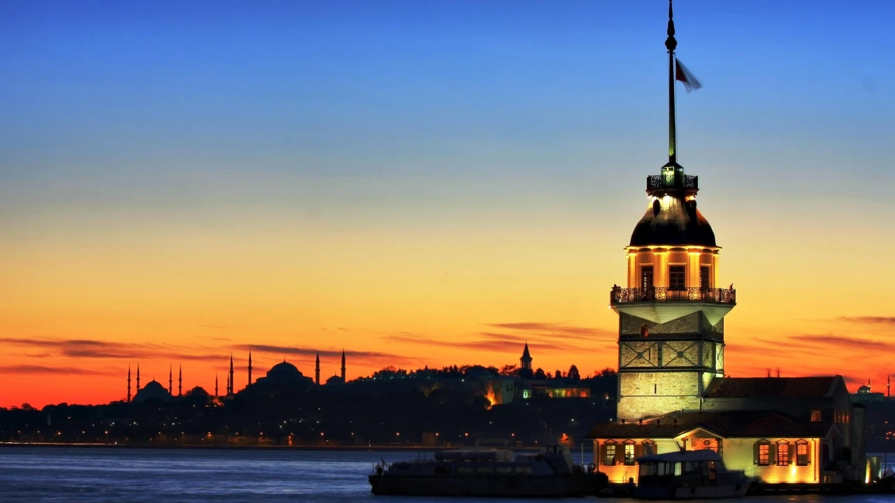
The coastline offers a refreshing segment of your walk. From here, you can admire the silhouette of domes and minarets on the opposite shore, the bustling ship traffic in the Bosphorus, and the elegant lines of the bridges. Monumental structures at sea level often coincide with the end of your route: for instance, the Mihrimah Sultan Mosque in Üsküdar, located right next to the ferry dock, was commissioned by Suleiman the Magnificent's daughter, Mihrimah Sultan, and completed by architect Mimar Sinan in 1548. Its common name, İskele Camii (Dock Mosque), comes from this very location. Reserving the coastal path for the final third of your route allows you to walk on flat ground when your legs are tired.
Elevation and Terrain: The Physical Backbone of Your Route
What makes Istanbul's walking routes challenging isn't the distance, but the elevation changes. The same two kilometers might take forty minutes on a flat coastal path, but could extend to an hour and a half on a hillside with stairs; these aren't measured values, but practical estimates to illustrate the impact of elevation differences. Therefore, route planning is first and foremost terrain planning.
| Terrain Type | Impact on Route | Planning Decision |
|---|---|---|
| Cobblestones and Pavement | Slows pace, tires feet quickly | Wear thick soles, avoid this section midday |
| Steep Stairs/Slopes | Covers elevation quickly, hard on knees | Use for descent, not ascent |
| Coastal Path and Flat Shoreline | Increases pace, offers rest | Place in the final third of the route |
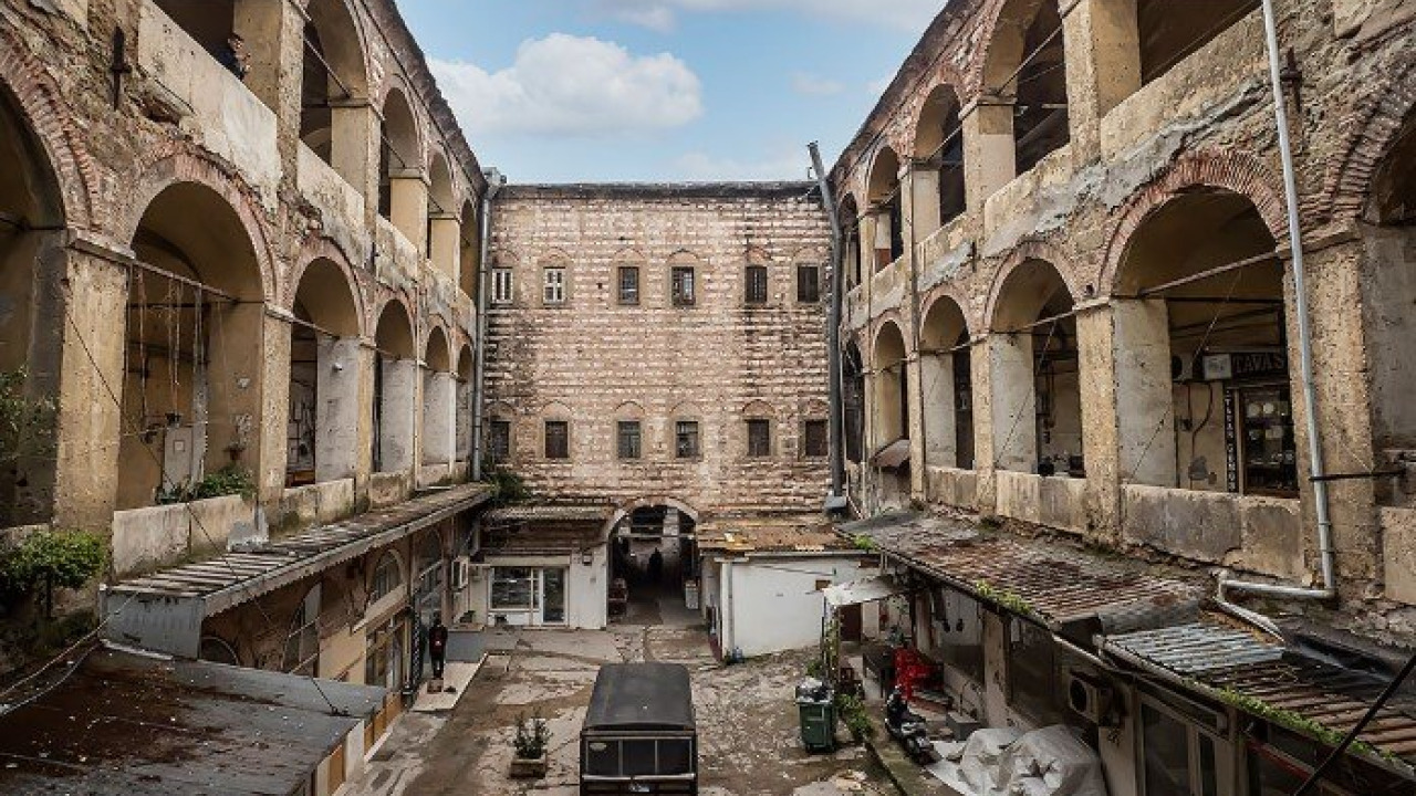
| Covered Passages and Courtyards | Weather-independent intermediate section | Incorporate on rainy or very hot days |
Which Direction to Tackle Elevation Changes
In hillside neighborhoods, the route should generally be planned from the ridge line down towards the coast. Walking uphill raises your heart rate, increases break frequency, and shortens time for photos; reversing the route to a downhill path significantly reduces walking time. An uphill route starting from the coast only works if you schedule the climb for the early hours of the day. You can find a concrete example of this two-way planning in our Balat attractions guide.
How to Calculate Your Walking Time Budget
For a neighborhood walk with stops, approximately two kilometers per hour is a realistic starting estimate for most travelers; this pace includes time for photos, detours into courtyards, and breaks. Initially, measure your own pace and adjust this range accordingly. For a half-day program, plan a range of 2.5 to 4 hours, allocating about one-third of that time for stops. If your route includes a section with stairs, calculate that segment as double the distance of a flat path.
The Two Ends of Your Route: Start with Rail, End with Ferry
The most practical part of route planning is choosing your start and end points. Your starting point should take you to a high elevation, while your ending point should offer a return option without further walking. In Istanbul, rail systems and sea lines share these two functions. The Karaköy-Beyoğlu Tarihi Tünel (Historic Tunnel), which closes elevation differences in minutes, has served the same purpose in the city for nearly 150 years: construction began in 1871 under a concession granted to French engineer Eugene Henri Gavand, and the line opened in 1875.
| Line | Role in Route | Operating Note |
|---|---|---|
| T1 Kabataş-Bağcılar Tram | Intermediate entry and exit points along the coast | 19.3 km from Kabataş, 65 minutes end-to-end, 06:00-00:00 |
| T5 Eminönü-Alibeyköy Tram | Direct access to the northern Golden Horn coast | 10.1 km from Eminönü, 14 stations, 32 minutes end-to-end |
| T3 Kadıköy-Moda Tram | Loop connection on the Anatolian side | 2.6 km loop from Kadıköy Square, 20-minute circuit |
| Marmaray | Connecting link between the two sides (European & Asian) | 4 minutes between Üsküdar and Sirkeci; 43 stations along the line, 76.6 km |
| Istanbul City Ferries Üsküdar-Golden Horn Line | Sea leg to conclude your walk | Nine docks from Üsküdar to Eyüpsultan; first departure 07:30 |
| F2 Historic Tunnel and T2 Nostalgic Tram | Short connection to bypass the climb | Services can be suspended by gubernatorial decision, confirm the day before |
Choosing Your Starting Anchor
Find a metro exit at a high elevation and plan your route downhill from there. On the Historic Peninsula side, the T1 tram's Sirkeci, Gülhane, and Sultanahmet stations provide access between the coast and the ridge. On the northern shore of the Golden Horn, the T5 line takes you right to the neighborhood gates with its Cibali, Fener, Balat, and Ayvansaray stations. On the Anatolian side, the Marmaray's Üsküdar station and Kadıköy ferry dock serve as starting points for two distinct walking routes.
The Ending Anchor and Sea Leg
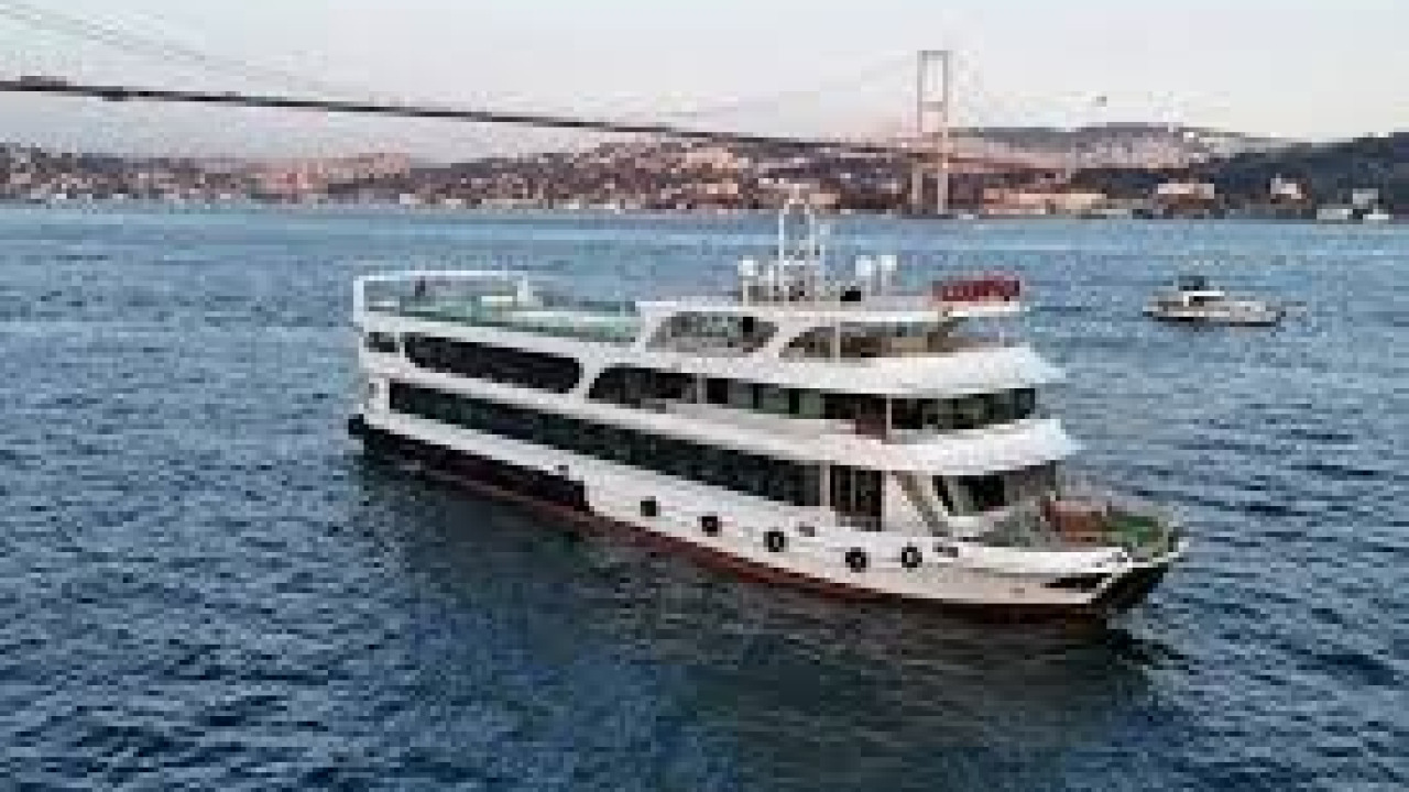
Ending your walk at a ferry dock means you won't have to walk back the same way. Istanbul City Ferries' Üsküdar-Golden Horn line stops at Üsküdar, Karaköy, Kasımpaşa, Fener, Balat, Hasköy, Ayvansaray, Sütlüce, and Eyüpsultan docks; these nine points offer a ready-made list of anchors to conclude your coastal walks. On weekdays, the first departure from Üsküdar is at 07:30; Sunday and public holiday schedules differ. Since service times are updated seasonally, check the current schedule on sehirhatlari.istanbul before starting your walk to avoid missing the last ferry.
Contingency Plan for Line Closures
If your starting anchor closes, your route can fall apart. Lines leading to the Beyoğlu ridge carry this risk: by decision of the Istanbul Governorship, the M2 metro line's Taksim station and the F1 Taksim-Kabataş funicular can be temporarily closed for operations on a daily basis; June 28, 2026, was an example of this, and there have been dates when the T2 nostalgic tram and F2 Tarihi Tünel services were suspended for the same reason. These measures are specific to the day and do not imply permanent closure; current line schedules are published on Metro İstanbul's line pages. Nevertheless, for hillside routes, identify an alternative entry point and check Metro İstanbul and İETT announcements on the morning of your walk.
Season, Time, and Angle of Light
For neighborhood walks, the season is felt more through the terrain and light than just air temperature. Wet cobblestones, early sunsets, and midday sun directly impact the pace of your route.
| Period | Walking Advantage | Route Decision |
|---|---|---|
| April-May | Mild weather, longer days | Schedule uphill sections for the morning |
| June-August | Long evening light | Allocate midday hours to shaded side streets and indoor venues |
| September-October | Soft light, fewer crowds | Reserve late afternoon for west-facing slopes |
| November-March | Streets are quieter, queues shorter | Wet cobblestones can be slippery; shorten routes with stairs, days get dark early |
Choosing Your Time Based on Facade Direction
East-facing facades are illuminated in the morning, while west-facing and sea-facing slopes catch the light in the late afternoon and early evening. Planning your route according to this sequence prevents you from retracing your steps down the same street. Practical tip: Before heading out, mark which sections of your route face which direction on a map; swapping your morning and late afternoon segments accordingly is usually sufficient.
The Closed Day Trap
Museums and historic sites along your route have weekly closed days, which can disrupt your itinerary. For example, the Galata Mevlevihanesi Museum, affiliated with the Ministry of Culture and Tourism, is closed to visitors on Mondays; it operates from 09:00-19:00 in summer and 09:00-17:00 in winter. Since opening days and hours for Ministry museums can be updated at the start of each season, confirm via muze.gov.tr before finalizing your itinerary. For active places of worship, prayer times narrow the visiting window. If you're planning a museum-heavy day, you can consult the sequence in our Historic Peninsula and museums guide to schedule around closed days.
Where to Place Your Breaks on the Route
A break isn't just a reward sprinkled into your walk; it's a structural component of your route. Two well-placed breaks can transform a three-hour route from tiring to enjoyable. The rule is simple: place your breaks where the incline changes. A stop at the ridge where a climb ends, at the corner where stairs begin, or immediately after descending to the coast, helps dissipate muscle fatigue before it builds up.
The three breaks of the day serve different purposes:
- Morning break: A light bakery stop provides energy without slowing your pace.
- Lunch break: Combine it with the longest indoor stop on your itinerary; this also helps you beat the midday heat.
- Afternoon break: Take it in a square or by the seaside; this makes it easier to complete the final leg on flat ground.
Marking your break points in advance yields better results than just ducking into the first place you see when hunger strikes. Those who wish to integrate their stops with the neighborhood's culinary culture can consult our Istanbul cuisine guide to see which areas are known for what before their walk.
Building Your Route Step-by-Step
The following sequence provides a workable framework, even for a neighborhood you're unfamiliar with. Applying these steps on a map takes about fifteen minutes and can save you hours during your walk.
- Map the elevation: Mark the highest elevation point and the coastline of the neighborhood on your map; the difference between them will determine your route's direction.
- Choose your starting anchor: Designate the closest metro, tram, or Marmaray station to the highest elevation as your starting point.
- Fix your ending anchor: Lock in a coastal ferry dock as your endpoint and note its last departure time.
- Draw your main thoroughfare: Identify a primary street between your two anchors; this line will serve as your reference if you get lost.
- Add capillary detours: Place three to five short detours off your main thoroughfare; dead-end streets and courtyards fall into this category.
- Check for closed days: Confirm the visiting days and hours of museums and places of worship on your route before your walk.
- Place your breaks: Position two breaks where the incline changes, choosing one as an indoor venue.
- Identify a backup exit: Leave a public transport exit point in the middle of your route as a contingency against line closures or bad weather.
If you prefer to walk with a ready-made program instead of building this framework yourself, guided cultural walks in the city center plan their neighborhood routes with similar elevation and break logic. To link your itinerary to a program, you can browse Istanbul tour options.

What to Pack and What to Watch Out For
Neighborhood walks are best done with a light bag; weight can feel doubled on uphill climbs.
- Wear thick, non-slip soled shoes; cobblestones and stair treads can become slippery when wet.
- Dress in layers; you might encounter wind on ridge lines, humidity by the coast, and still air in narrow streets, all on the same day.
- Carry a water bottle and a portable charger; navigation and photography quickly drain battery life.
- Download an offline copy of your map; GPS drift is common in narrow streets.
- Active places of worship have dress code expectations: shoulders and knees should be covered, and women will need a headscarf.
- Keep residential facades and windows out of your frame; when photographing street scenes, respect the privacy of residents.
- Don't carry valuables in the front pocket of your bag; in crowded bazaar areas, keep your bag in front of you.
To sum up, successful Istanbul neighborhood walks begin not with a great list of places, but with a well-thought-out direction. A route that descends from high ground to the coast, with both ends connected to public transport lines and breaks strategically placed according to elevation changes, will allow you to explore the same streets with far less fatigue.
Frequently Asked Questions 5
How do I plan a walking tour route in Istanbul?
Start your route at a high-elevation public transport station, walk downhill towards the coast, and finish at a ferry dock. Along the way, identify a main thoroughfare, add short detours, and place breaks where the incline changes.
How can I avoid getting tired on hilly neighborhood walks?
Plan your walk to start from the ridge line and descend towards the coast. Walking the same route uphill raises your heart rate and increases break frequency; a downhill route significantly shortens the duration. If an ascent is unavoidable, schedule it for the early hours of the day.
How long does a neighborhood walking tour take?
For a half-day program with stops, a range of 2.5 to 4 hours is realistic; approximately one-third of this time is for breaks and photos. For routes including sections with stairs, it's more accurate to calculate that segment as double the distance of a flat path.
How is public transport used on a walking route?
Use metro, tram, or Marmaray stations as anchors for your starting point, and Istanbul City Ferries docks for your ending point. For example, the T5 Eminönü-Alibeyköy tram stops at Cibali, Fener, Balat, and Ayvansaray stations on the northern Golden Horn coast; the Üsküdar-Golden Horn ferry line also calls at nine docks along the same shore.
Can you do a neighborhood walk on a rainy day?
Yes, but you'll need to plan your route around indoor venues. Historic passages, courtyard buildings, and museums serve as intermediate stops on rainy days; shorten any sections with steep stairs or slopes, as wet cobblestones can become slippery.