
There's no simple answer to "How long does the Wadi Hasa hike take?" because two distinct trails share the same name. The first is a wet traverse along the canyon floor, following the flowing water, often stretching over two days with camping gear. It's unmarked, covers many kilometers between entry and exit, and requires as much vehicle logistics planning as the hike itself. The second is a section of the Jordan Trail (Jordan Trail) between Karak and Dana: a four-day, 83.9 km route that crosses the wadi, with officially published stage records but no on-site markings. This guide outlines both options separately and explains when the water is a friend and when it's a threat. Visa requirements vary by nationality; please confirm current conditions with the official Jordan Tourism Board website.
Quick Facts
| Topic | Information |
|---|---|
| Official Name & Location | Wadi al-Hasa; Between Karak and Tafilah Governorates in Jordan |
| Canyon's End | Ghor as-Safi plains, southeast end of the Dead Sea |
| Wet Trail | Two-day camping in canyon bed, no markings |
| Staged Trail | Jordan Trail Section 5, between Karak and Dana, 83.9 km, 4 stages |
| Section 5 Elevation Change | 3,453m ascent, 3,244m descent |
| Altitude Range | 1,499m to 237m |
| Ideal Season | Spring; September to mid-November |
| Drinking Water | Stream water not potable without purification |
| Status | Not a protected area; no entrance fee |
| Emergency | Tourism Police 117777 |
How Long Does the Wadi Hasa Hike Take?
The duration isn't determined by distance alone, but by the trail you choose. Traversing the canyon floor through water is a different endeavor than crossing it by descending one slope and ascending another.
The Wet Traverse: Two Days on the Canyon Floor
The canyon floor trail follows the stream fed by various springs. Water levels can reach knee-height in some places, waist-height in others; rock scrambles may be necessary at rocky thresholds, and a few strokes of swimming might be required in narrow passages. A waterproof backpack is therefore essential. A two-day itinerary means spending the night camping inside the wadi. This trail has no official record, markings, or designated entry points.
The common description in travel literature, "Jordan's longest and wettest canyon," is not based on an official classification. The often-compared Wadi Mujib is a biosphere reserve managed by the Royal Society for the Conservation of Nature (RSCN); its official description highlights an area rising from 410 meters below sea level to 900 meters above. The key difference between the two wadis isn't length, but their management structure.
The Staged Route: Jordan Trail Section 5
The section of the Jordan Trail between Karak and Dana spans 83.9 kilometers and is divided into four stages. The route begins at Karak Castle, descends approximately a thousand meters through the limestone slopes of Tor al-Taboun to the wadi floor, then climbs the opposite bank to the plateau east of Tafilah, and concludes in Dana village via Wadi Labun.
| Stage | Route | Distance | Duration | Difficulty |
|---|---|---|---|---|
| 501 | Karak, Tor al-Taboun | 26.7 km | 8 hours | Difficult |
| 502 | Tor al-Taboun, Karaka | 20.8 km | 6-8 hours | Difficult |
| 503 | Karaka, Al-Ma'tan | 20.9 km | 8 hours | Moderate |
| 504 | Al-Ma'tan, Dana | 15.5 km | 5 hours | Moderate |
| Total | Karak, Dana | 83.9 km | 4 days | Difficult |
Can You Hike Without a Guide? What About Markings?
The association managing the trail explicitly states that the route is new and unmarked on the ground, recommending hiking with a local guide. The reasoning is clear: most sections are remote, water sources are limited, and phone coverage is intermittent.
Navigation challenges are concentrated at specific points. After passing the Ais settlement, the dirt roads crisscrossing agricultural lands can become confusing; official stage notes recommend using GPS here. On the wet trail, the problem is more fundamental, as there's no horizon line to use as a reference on the canyon floor.
Another aspect of hiring a guide is supporting the local economy: the income directly benefits the villages surrounding the wadi. Directories of licensed guides and lists of authorized operators are published on the association's website; their office can be reached at +962 6 461 0999.
When Does the Risk of Flash Floods Increase?
The primary danger in canyon hiking isn't height, but water. Flash floods occur when rainfall from many kilometers away funnels into the wadi; even under clear skies, water levels can rise rapidly. Official stage notes list flash flood danger as a separate warning for both the Wadi Hasa traverse and the wadis near Dana.
There's a crucial detail here. The canyon is not designated as a protected area; there's no ticket booth, registration log, or closure announcement to stop visitors. The widespread belief that entry is prohibited in winter applies not to Wadi Hasa, but to the management regime of the neighboring Wadi Mujib. The decision rests with the hiker, which increases personal responsibility.
| Topic | Wadi Hasa | Wadi Mujib Siq Trail |
|---|---|---|
| Management | No protected area status | Biosphere reserve managed by RSCN |
| Entry | No ticket booth or registration | Ticketed entry from visitor center |
| Season | No official calendar | April 1 to October 31 in RSCN documents, weather dependent |
| Age Limit | No defined limit | 18 years for wet trails |
| Closure | No central announcement channel | Trail closed during flood warnings |
What Will You See Along the Wadi?
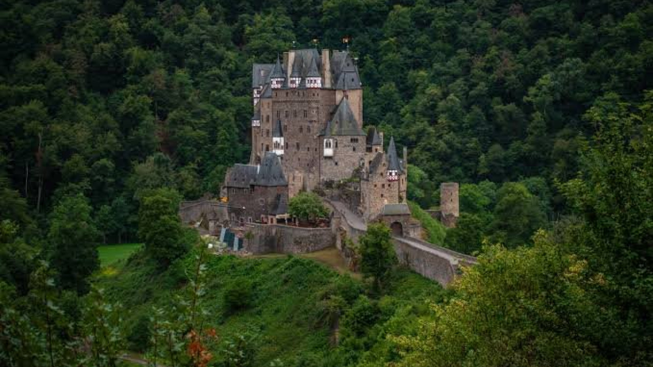
Karak Castle and the King's Highway Threshold
The staged route begins in front of Karak Castle. The Jordan Tourism Board describes the city as 900 meters above sea level and the castle as a Crusader-era fortress; sources trace the core structure to the 1140s, during the time of Payen le Bouteiller, Lord of Oultrejordain. Its location is no coincidence: the castle controlled the King's Highway, which connected Egypt and Syria. Inside, visitors can explore stone-vaulted halls and underground corridors. The Karak Archaeological Museum is open from 08:00 to 18:00 in summer and 08:00 to 15:00 in winter; dedicating the afternoon before your hike here will illuminate the region's Moabite and Nabataean layers.
Tor al-Taboun and the Thousand-Meter Descent
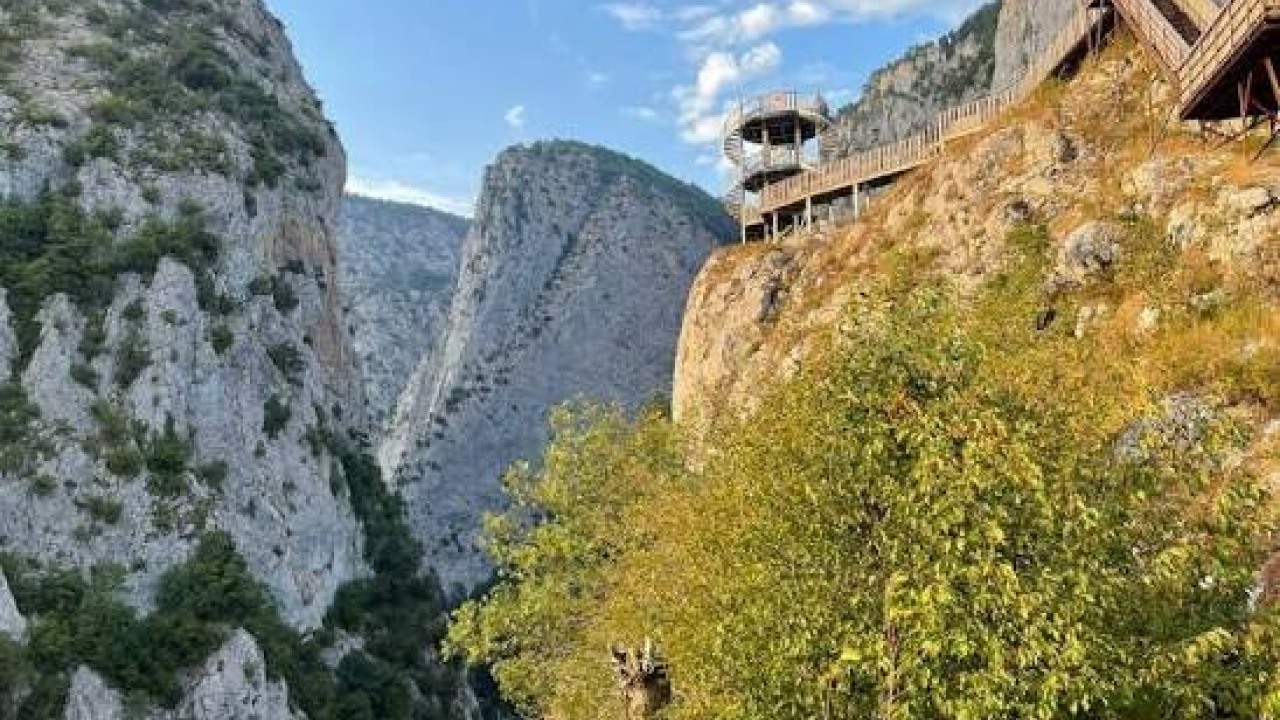
The character of the second stage is defined by the descent itself. The trail, zigzagging between limestone walls, drops approximately a thousand meters from the plateau edge to the wadi floor. While it may seem gradual, the strain on the knees lasts for a long time, making trekking poles a necessity here. Below, the trail meets the stream, winding through palm trees and small gardens. Official stage notes warn of heatstroke risk in this section, where shade cover is sparse.
Hammamat Burbita and Afra Springs
A prominent stop on the wadi floor is the hot springs. The staged route passes through the Burbita springs; the Afra springs are in a neighboring section, reached via a side road branching off from the Tafilah direction. The healing properties attributed to the mineral content of these waters are widely recounted among locals; this should not be interpreted as a promise of medical treatment, and those with health concerns should consult their physician.
Canyon Floor: Flowing Water, Gardens, and Wildlife
The distinguishing feature of the canyon is its year-round flowing water in the middle of an arid plateau. Along the stream, palm trees, reeds, and small gardens cultivated by villagers line the banks; in spring, the blossoming on the slopes becomes pronounced. It's possible to spot ibex and raptors on the rocky walls, but considering this a lucky bonus is realistic. Although the stream water appears clear, official stage notes advise purification.
Al-Ma'tan Village and Wadi Labun
Al-Ma'tan, reached at the end of the third stage, is a restored old village perched on the high edge of Wadi Labun. The path descending from here to Dana is an ancient mule trail winding through olive groves and terraced gardens; there's a narrow slot canyon between sandstone walls. Stage notes mention that food might be available in Ma'tan if arranged in advance, and to call 0799111434 for the reserve fee upon entering Dana.
Ghor as-Safi and the Canyon's Mouth to the Dead Sea
The wadi opens into the Ghor as-Safi plains at the southeastern end of the Dead Sea; this plain is historically identified with ancient Zoara. "The Sanctuary of Agios Lot, At Deir 'Ain 'Abata," added to the UNESCO World Heritage Tentative List on June 18, 2001, is located on a steep slope overlooking Safi town; Byzantine Greek inscriptions on the church's mosaic floors bear dates of April 606 and May 691. Its status is on the tentative list, not yet inscribed on the main heritage list. The wadi itself is also identified in sources with the biblical Valley of Zered; one of the supporting references is the Madaba mosaic map, dated to the sixth century.
Morning on the Plateau, Evening in the Water: Step-by-Step Planning
The most common stumbling block in this adventure isn't the hike itself, but the vehicle logistics between your entry and exit points. The following steps will help you secure that crucial link from the start.
- Choose your trail: the wet traverse along the canyon floor or the staged Jordan Trail Section 5. Each requires different gear and a different number of days.
- Set your dates based on the weather forecast and check rainfall records for the preceding three days; even on clear days, water levels can remain high if the ground is saturated.
- Select and pre-arrange with a local guide or licensed operator from the trail association's lists.
- Arrange two-way vehicle logistics: a driver to drop you off at the entry point and another to pick you up at the exit. Returning to the same point is not feasible on this route.
- Calculate your water and food needs per day; there are no shops in the wadi.
- Choose a campsite above the flood line, on a flat, dry terrace; avoid overnighting in narrow gorges.
- Leave your itinerary with someone not entering the wadi: include your entry time, estimated exit time, and periods when communication will be unavailable.
- Keep the day after your exit light; relaxing by the Dead Sea is a fitting conclusion.
Seasonal Window and Water Regime
The association managing the Jordan Trail recommends March to April for the country's north and February to March for the south; they also consider September to mid-November suitable. Wadi Hasa falls between these two bands. In winter, snow and freezing temperatures can occur at higher elevations, and the probability of rain and strong winds increases.
| Period | Wadi Conditions | Decision Note |
|---|---|---|
| March to mid-May | Water flow strong, mild weather, slopes in bloom | Suitable for wet traverse; avoid days after heavy rain |
| Late May to August | High temperatures, sparse shade | Start at sunrise, take midday breaks in water |
| September to mid-November | Mild weather, variable water flow | Suitable for staged trail; inquire about water points |
| Late November to February | High flood probability, snow at higher elevations | Do not enter canyon floor, postpone plateau stages |
What to Pack and What Rules Apply?
The equipment list is tailored to the hours spent on wet ground. Cotton fabrics lose their effectiveness on this trail; they become heavy when wet and dry slowly.
- Waterproof backpack or a dry bag inserted into your pack.
- Snug-fitting, non-slip, water-friendly shoes or technical sandals, plus spare socks.
- Quick-drying synthetic clothing, a light insulating layer for the evening.
- Water filter or purification tablets, enough drinking water capacity for one day.
- Headlamp and spare batteries; light diminishes even at midday in narrow passages.
- Insulated first-aid kit, personal medications, waterproof bandages.
- Water-resistant sunscreen, hat, and sunglasses.
- Trash bags; there is no waste collection system in the wadi.
On the rules side, the situation is straightforward. Since Wadi Hasa has no ticketing, quota, or registration system, responsibility lies with the hiker. In contrast, an entrance fee applies for the Dana Biosphere Reserve. There are no designated camping areas; the lands surrounding the wadi are used by villagers, so arranging a campsite through a local guide is both a courtesy and a safety measure.
Transportation, Accommodation, and Dining
Getting to Jordan from Turkey, and to Karak
Travel from Turkey to Jordan is typically via scheduled flights to Queen Alia International Airport in Amman; Aqaba serves as an alternative entry point for southern routes. The Jordan Tourism Board states that the journey between Amman and Karak via the scenic King's Highway takes two to two and a half hours; those seeking a faster route can use the Desert Highway to the east, while those coming from the west climb the escarpment from the Dead Sea coastal road. Upon arrival, public transport is limited, and trailheads are not on main routes, making a plan for a private driver or rental car essential.
Accommodation Zones
There are four accommodation zones surrounding the hike. Karak city center, with its hotels and guesthouses around the castle, is an ideal base for the first night. The Tafilah area offers short transfers for those entering from the south. Dana village, with its guesthouses on the reserve's periphery, is the endpoint for the staged route. The Dead Sea coastline on the Jordanian side is suitable for relaxation after the hike. Accommodation within the wadi means camping.
Food, Drink, and Resupply
In Karak, restaurants can be found in Ottoman-era buildings around the castle square; the plateau cuisine features lamb, yogurt, and rice-based dishes, along with stone-baked bread and mezzes. Once you enter the wadi, resupply options disappear, and all meals must be carried. Official stage notes indicate that water and food might be available in the Ais and Ein al-Beida settlements. Sage tea is a common offering in the surrounding villages.
Integrating Your Trip with the Region
Wadi Hasa is a water lifeline cutting through central Jordan and doesn't typically fill an entire travel itinerary on its own. Framing the canyon experience alongside Karak Castle, the Dana area, and the Dead Sea coast places the hike within a rich historical context. Our Egypt travel guide offers a similar route example focusing on desert and ancient heritage; for those interested in how multi-country long routes are divided, our Balkans tour guide illustrates day-by-day breakdowns. Travelers seeking similar themes in Turkey can start with our nature and adventure tours in Turkey category, which includes canyon and highland trails, and our cultural tours in Turkey category, focusing on castles and historical sites.
Frequently Asked Questions 6
How long does the Wadi Hasa hike take?
It depends on the trail. The wet traverse along the canyon floor typically spans two days with camping. The Jordan Trail Section 5, which crosses the wadi, covers 83.9 kilometers and four stages between Karak and Dana.
Can you hike Wadi Hasa without a guide?
The trail association advises against it, recommending a local guide due to unmarked routes, limited water sources, and intermittent phone coverage. GPS is recommended for the dirt roads past Ais.
When does the risk of flash floods increase in Wadi Hasa?
The risk is highest during rainy days in winter and early spring. A distant downpour can cause water levels to rise rapidly even under clear skies. As there are no official closure announcements, the decision rests with the hiker.
What is the best time for a Wadi Hasa hike?
The trail association recommends March to April for the country's north and February to March for the south; they also consider September to mid-November suitable. Wadi Hasa falls between these periods.
How do you get to Wadi Hasa from Amman?
The Jordan Tourism Board states that the scenic King's Highway journey between Amman and Karak takes two to two and a half hours. Those seeking a faster route can use the Desert Highway. Public transport is limited, so a private driver or rental car is essential.
Can you camp in Wadi Hasa?
There are no designated campsites or registration systems in the wadi, so camping spots are typically arranged through a local guide. Tents should be pitched on a flat, dry terrace above the flood line; avoid overnighting in narrow gorges.