Karatepe Aslantaş is a Late Hittite-era fortress nestled on a forested hill overlooking the Ceyhan River, near the Kadirli district of Osmaniye. This archaeological site is one of those rare places where you can truly 'read' the Iron Age history of Anatolia on location, with its impressive city walls, two monumental gates, and intricately carved stone blocks surrounding them. The site's true fame, however, comes from the bilingual inscription found at the gate entrances, written in both the Phoenician alphabet and Luwian hieroglyphs. In this guide, you'll discover the fortress's fascinating story, what to see at the archaeological site, travel distances, visiting hours, and a practical itinerary covering nearby attractions.
What is Karatepe Aslantaş and Where is it Located?
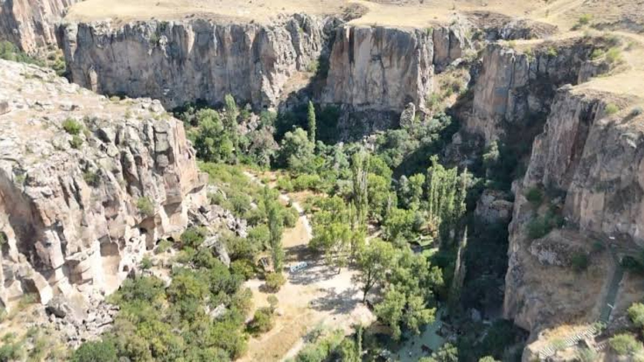
The short answer: Karatepe Aslantaş is a Late Hittite fortress located within the Karatepe-Aslantaş National Park, near the Kadirli district of Osmaniye province, and holds the distinction of being Turkey's first open-air museum. The site spreads across a pine-forested hill overlooking the lake formed by the Aslantaş Dam on the Ceyhan River.
Unlike many ancient sites, the reliefs at this settlement, also known as Karatepe Ancient City, were not removed; instead, the artifacts are explored right where they stand, amidst the forest, rather than in museum halls. This innovative conservation approach led to the Karatepe-Aslantaş Archaeological Site being added to the UNESCO World Heritage Tentative List in 2020, with its bilingual inscriptions entering the UNESCO Memory of the World Register in 2025.
Quick Facts
| Topic | Information |
|---|---|
| Location | Osmaniye, Kadirli district, Karatepe-Aslantaş National Park |
| Period | Late Hittite, 8th century BCE |
| Highlights | Phoenician and Luwian bilingual inscription, gate reliefs, lion and sphinx statues |
| Visiting Hours | Daily 09:00-18:00, ticket office closes 17:30 (hours may vary seasonally) |
| Recommended Visit Duration | Half-day, including walking |
| Best Time to Visit | Spring and Autumn |
The Story of the Late Hittite Fortress
Karatepe bears witness to the era of small kingdoms established in Southeastern Anatolia and Northern Syria after the collapse of the Hittite Empire. The fortress served as a crucial border and control point, overseeing the route through the Ceyhan Valley.
Azatiwata and the Kingdom of Adana Plain
According to the inscriptions, the fortress was founded by Azatiwata, who identified himself as a ruler serving King Awariku of the Adana Plain. He named the settlement he founded after himself: Azatiwataya. The text recounts how he brought peace to the region, strengthened its borders, and enhanced the prosperity of its people. The dating of the fortress to the 8th century BCE is largely based on these very texts.
Why is the Phoenician and Luwian Inscription So Important?
At the gate entrances, you'll encounter the same text rendered in two distinct writing systems: the Phoenician alphabet and Luwian hieroglyphs, unique to Anatolia. Considered among the longest known Phoenician texts, this inscription provided researchers with the invaluable opportunity to place a readable language alongside a script that had not yet been fully deciphered, marking a turning point in the decipherment of Hieroglyphic Luwian.
Halet Çambel and the Open-Air Museum Concept
The site was introduced to the scientific world in 1946 through the research of Helmuth Theodor Bossert and Halet Çambel, with excavations commencing in 1947. Çambel advocated for the preservation of the reliefs in situ, rather than relocating them to a museum. Protective roofs were constructed over the gates, and the site officially opened to visitors in 1957 as Turkey's first open-air museum.
What to See at the Archaeological Site
Your visit unfolds along a forest path that begins at the parking area and leads you between the two main gates. The walk isn't overly long, but it does have some inclines, and the stone paving can become slippery after rain.
The North Gate and its Reliefs
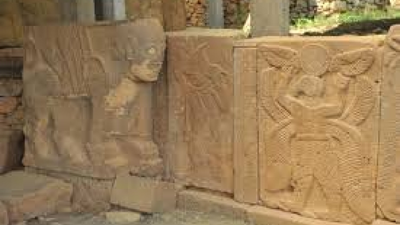
At the North Gate, you'll find a series of orthostats – carved stone slabs – depicting banquet scenes, a ship, hunting scenes, musician figures, and a woman nursing her child. At the entrance to the gate, two human-headed, lion-bodied sphinxes stand facing each other. Following the reliefs from left to right allows you to appreciate how the scenes form a narrative sequence.
The South Gate and City Walls
The South Gate features another copy of the bilingual inscription, different groups of reliefs, and two reconstructed lion statues at its entrance – these statues are actually where the site gets its 'Aslantaş' (Lion Stone) name. Inside the gate, you'll find a statue of the Storm God, standing approximately three meters tall. Afterward, you can take a short walk along the city walls encircling the hill; the views overlooking the dam lake are particularly stunning in the morning and late afternoon light.
How to Get There and Plan Your Route
Since there's no direct public transport route to the archaeological site, your journey will need to be planned via Osmaniye or Kadirli.
- Intercity connection: Reach Osmaniye by following the highway axis between Adana and Gaziantep; those coming from Adana can also pass through Ceyhan to Kadirli.
- Air and rail: The nearest airport to the region is in Adana. Osmaniye has a train station on the line, but as regional services can be temporarily suspended due to infrastructure work, check the TCDD schedule before you travel.
- Final leg: From Kadirli, follow the national park signs to the archaeological site. For this section, a private car, transfer vehicle, or taxi will save you time and hassle.
| Route | Approx. Distance | Duration |
|---|---|---|
| Kadirli center - archaeological site | 22 km | 25-30 min |
| Osmaniye center - archaeological site | 33 km | 40-45 min |
| Osmaniye - Kadirli | 30 km | 30 min |
| Adana - archaeological site | 125 km | 1.5 hours |
For Those Traveling by Private Car
The road is asphalted and well-signposted, but the final section through the forest is narrow and winding. Setting your navigation target to 'Karatepe-Aslantaş National Park' will prevent you from being directed to similarly named dam locations. Since the gates are accessed by walking from the parking lot, finding a shaded spot for your car can be a real boon in the summer months.
For Those Using Public Transport
It's possible to take a bus to Osmaniye and then transfer to Kadirli via district minibuses. As there are no regular services beyond Kadirli, planning your return journey with a pre-arranged vehicle will ensure a smooth trip.
Best Time to Visit
Influenced by the Çukurova climate, the region experiences long, hot summers and mild, rainy winters. Since the archaeological site is entirely open-air, temperature directly impacts the comfort of your visit.
| Period | Advantage | Note |
|---|---|---|
| Spring (March-May) | Mild weather, lush green forest | Ideal for walking and photography |
| Summer (June-August) | Long daylight hours | Midday can be oppressive, prefer mornings |
| Autumn (September-November) | Cooler weather, fewer crowds | Dam lake views become clearer |
| Winter (December-February) | Quiet and secluded visit | Path can be slippery after rain |
Dining and Accommodation Options
As the archaeological site is surrounded by forest, dining options are limited to a few establishments at the park entrance and more choices in Kadirli town center. The local cuisine highlights Çukurova's bulgur-based dishes and various kebabs; peanuts, cultivated around Osmaniye, are a popular choice for souvenir shopping. For those looking to build a culinary-focused itinerary, you can explore our Turkey gastronomy guide article and gastronomy tour packages page. When it comes to accommodation, two areas make sense: Kadirli for those who prefer to stay close to the site, and Osmaniye city center for a wider variety of hotels.
Practical Tips Before You Go
- The site is open daily from 09:00 to 18:00, with the ticket office closing at 17:30; as hours can change seasonally, confirm before you set off.
- Entrance fees and Museum Pass coverage are updated periodically; verify them on the official museum page of the Ministry of Culture and Tourism before your visit.
- Since it's an open-air site, carry a hat, sunscreen, water, and non-slip walking shoes.
- Touching the reliefs and straying from the designated path is prohibited; stone surfaces are vulnerable to damage from moisture and contact.
- Phone reception can be weak within the forest, so save your route on an offline map.
How Many Days to Allocate and How to Extend Your Itinerary
Karatepe Aslantaş is a half-day stop, including time for walking and examining the reliefs. Visiting the archaeological site in the morning, descending to Kadirli in the afternoon, and then adding Osmaniye city center and the Osmaniye City Museum makes for a full day's program. If you have two days, you can dedicate the second day to forest routes around the dam lake, extending this section with nature adventure tours programs. For those wishing to plan similar archaeological sites together, cultural tours and historic city tours options are suitable. If you plan to extend your route southeast, you can also add the museum and culinary stops from our Gaziantep travel guide article.
Frequently Asked Questions 5
Where are the Karatepe Aslantaş Inscriptions located?
The inscriptions are located at the north and south gates of the archaeological site, among the carved stone blocks. The same text is recorded in two writing systems, and the blocks are displayed in their original positions, protected by roofs.
Who established Turkey's first open-air museum?
The open-air museum arrangement at Karatepe was shaped under the leadership of archaeologist Halet Çambel, who conducted excavations for many years, and the site opened to visitors in 1957. Research had begun in 1946 with Helmuth Theodor Bossert.
Where is the Karatepe Aslantaş Museum?
It is located within the Karatepe-Aslantaş National Park, overlooking the Aslantaş Dam on the Ceyhan River, within the borders of the Kadirli district of Osmaniye province. It is 22 km from Kadirli center and 33 km from Osmaniye center.
Where is Aslantaş?
The name Aslantaş (Lion Stone) refers to both the lion statues at the archaeological site and the Aslantaş Dam on the Ceyhan River. Both are located within the borders of Osmaniye, in close proximity to each other.
How long does a visit to Karatepe Aslantaş take?
The forest path starting from the parking lot, along with the two gates and city walls, offers an average walking tour of two to three hours. With photo stops, the duration can extend to half a day.