The Cilo Mountains, rising within the borders of Hakkari, are one of the few mountain ranges in Turkey that still harbor glaciers. As the easternmost link of the Southeastern Taurus Mountains, its summit, Uludoruk (locally known as Reşko), stands at 4,135 meters, making it Turkey's second-highest point after Mount Ağrı. In the neighboring Sat Mountains, you'll find a group of stunning glacial lakes nestled in ice-carved hollows. The area was declared the Hakkâri Cilo and Sat Mountains National Park on September 25, 2020, bringing it under protection. For many years, this region remained off the beaten path, meaning things operate differently here compared to mountain destinations in Western Anatolia: the season window is narrow, accommodation is concentrated in city centers, and itineraries often need flexibility due to weather conditions. This guide will cover transportation, timing, key stops, equipment, and permits in detail.
Why is the Travel Window for the Cilo Mountains So Narrow?
When planning your trip to the Cilo and Sat region, the first thing to understand is that the calendar can be quite restrictive. Snow cover melts late in the higher elevations; dirt roads leading to the plateaus and trails to the glacier fringes remain impassable throughout spring due to snow and meltwater. Therefore, hiking itineraries are typically planned within a narrow window, usually from mid-July to mid-September.
Even in summer, nighttime temperatures drop significantly. A day that starts clear in the morning can quickly turn to fog and rain by afternoon. Temperature fluctuations are even more pronounced around the glaciers. Adding a buffer day to your itinerary for weather conditions can significantly reduce the risk of an unplanned turnaround mid-route.
If you're planning a shorter trip, August offers a balanced choice, with favorable road conditions and vibrant meadows surrounding the lakes.
Quick Facts
| Topic | Information |
|---|---|
| Location | Hakkari province; Cilo massif between the city center and Yüksekova, Sat Mountains on the Yüksekova side |
| Peak | Uludoruk (Reşko) 4,135 m, Turkey's second-highest point |
| Highlights | Uludoruk Peak, Cilo Glaciers, Sat Glacial Lakes (approx. 3,400-3,500 m), Heaven and Hell Valley |
| Protection Status | Hakkâri Cilo and Sat Mountains National Park (September 25, 2020, approx. 27,500 hectares) |
| Favorable Period | Mid-July to mid-September |
| Transportation | Van Ferit Melen Airport, then approx. 200 km by road; final leg by off-road vehicle |
| Transportation Note | Yüksekova Selahaddin Eyyubi Airport closed to flights until March 7, 2027, due to runway renovation |
| Difficulty | High-altitude trekking; technical equipment and local guide required around glaciers |
| Ideal For | Visitors interested in trekking, mountaineering, nature photography, and camping |
Where are the Cilo Mountains? Key Stops and Locations
The backbone of any trip to this region is built around a few main stops. All are located within Hakkari province, clustered in the high-altitude belt between the central district and Yüksekova. Most require hiking, while one is an administrative designation that frames the area's protection.
Hakkâri Cilo and Sat Mountains National Park
Covering approximately 27,500 hectares and encompassing both the Cilo massif and the Sat Mountains, this area was declared Turkey's 45th national park on September 25, 2020. This status officially recognizes the region's immense value in terms of glacial geomorphology, high-mountain ecosystem, and wildlife. Within the national park boundaries, rules govern camping, fires, waste disposal, and vehicle use, with entry regulated through established checkpoints.
For visitors, this practically means that choices for campsites, group movements, and vehicle access points may vary periodically. As long-term development plans for the area are still underway, rules can be updated year to year. Before you set off, it's wise to confirm the latest regulations with the national park management and local mountaineering clubs to avoid any surprises on site.
Practical tip: Don't expect waste collection facilities within the park; pack out everything you pack in. In terms of timing, weekdays tend to be quieter than late-summer weekends.
Uludoruk Peak
Uludoruk, locally known as Reşko, is the highest point of the Cilo massif. At 4,135 meters, it's recognized as Turkey's second-highest peak after Mount Ağrı. The first ascent to the summit was made in 1931 by Ludwig Sperlich and Ludwig Krenek. Even today, the route demands technical preparation, altitude acclimatization, and experience. Summit attempts are typically multi-day expeditions, often involving high-altitude camp setups.
Even for those not aiming for the summit, the massif itself is captivating. From the valley floor, sharp rock walls, glacial tongues, and deep hollows converge in a single breathtaking panorama. For photography, sunrise and sunset hours are ideal, as they highlight the dramatic textures of the rock faces.
For those targeting the summit, two things are non-negotiable: planning your expedition with a mountaineering club familiar with the region and never skipping the intermediate camp day allocated for altitude acclimatization. August is the most balanced month for snow and ice conditions; in early July, snow can still be deep in the upper sections.
Cilo Glaciers and Glacial Waterfall
Stretching north of Uludoruk, the İzbırak Glacier (also known as Uludoruk or Gelyaşin Glacier) is considered Turkey's largest valley glacier, extending approximately 4 kilometers. Where the glacier melts, water flows cascade down rock steps, creating what is locally known as the glacial waterfall. This spectacle flows most powerfully during the summer months when melting accelerates. However, this very melting isn't good news for the glacier itself: scientific observations indicate that the Cilo glaciers are retreating year by year due to global warming, meaning the glacial tongue seen today may not be the same in a few seasons' time.
The area around the glacier is not just scenic but also a zone of potential risk. The ice surface can feature crevasses, loose moraine material, and falling rock hazards. Visitors wishing to venture onto the glacier itself must be equipped and accompanied by a guide. For most, simply observing from the edge is sufficient to grasp the glacier's immense scale. For those interested in comparing Turkey's high-mountain geographies, you can contrast Cilo's stark and technical character with the Rize Kaçkar Plateaus guide, where glacial traces are intertwined with plateau culture.
Practical tip: Meltwater increases in the afternoon, so plan any stream crossings for the morning. In terms of timing, late July to August is ideal, as approach trails are open and the water flow is significant.
Sat Glacial Lakes
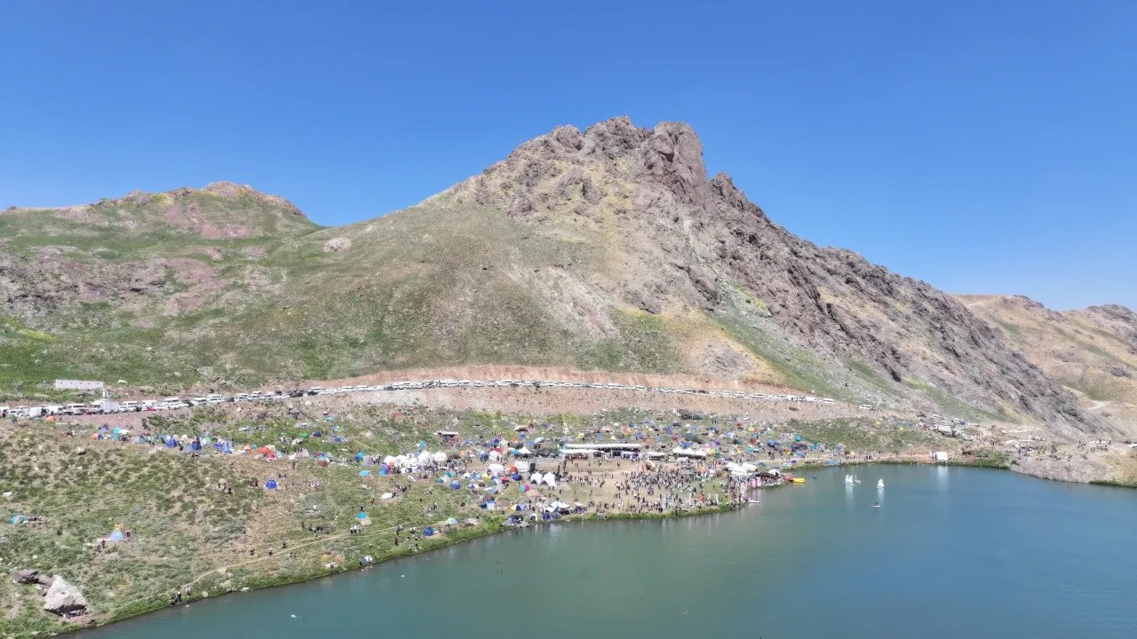
Located in the Sat (İkiyaka) Mountains within the Yüksekova district, these lakes have formed in hollows carved out by glacial erosion. It's not just one lake, but a cluster of them scattered across the 3,400 to 3,500-meter altitude band. Dozens of glacial lakes are found throughout the İkiyaka Mountains, with the main Sat group comprising several of the closest-lying ones. The water's color shifts from deep blue to turquoise depending on the daylight and depth.
The primary way to experience this area is by hiking between the lakes. It's possible to see several lakes in a single day with short stages, while those who camp can capture the magical morning and evening light. The water is cold and not suitable for swimming, so itineraries focus on hiking and photography. Since the lake area also hosts local events like the Cilo Festival in summer, it can be busier than usual on those days.
The final section of the dirt roads leading to the lakes requires a high-clearance vehicle. If your own vehicle isn't suitable, arranging a local transfer from Yüksekova is the most practical solution. August is the month when snow cover has retreated and meadows are open; in early June and July, some parts of the lakes might still be frozen.
Heaven and Hell Valley
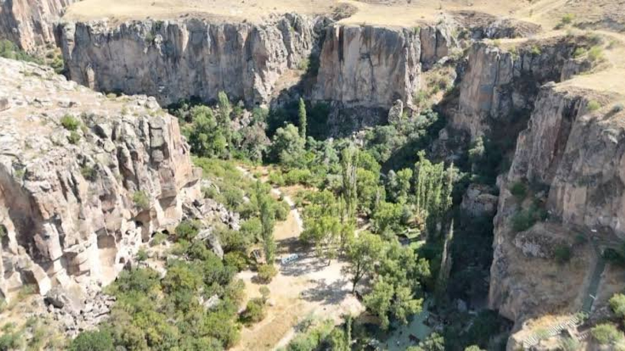
Approximately 45 kilometers from Hakkari city center, accessible via Kırıkdağ village, this valley forms a corridor rising up to the 3,500-meter altitude band at the foothills of the Cilo massif. Its name comes from two contrasting landscapes existing side-by-side in the same area: on one side, the "Heaven" section, covered with green meadows blooming in spring and early summer; on the other, the "Hell" section, a steep, cool, deep valley harboring millennia-old ice masses. The common visitor description of "seeing four seasons at once" also stems from this striking contrast.
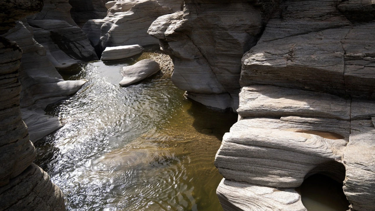
The valley can serve as both a transit corridor and an independent full-day route for hikers. Along the valley floor, you'll get a close-up view of rock layers, seasonal water flows, and narrow gorges. Moving with a guide makes navigation much easier.
Practical tip: There might be sections within the valley with no phone signal, so download an offline map and establish a meeting point within your group. In terms of timing, early morning hours are more comfortable for both temperature and light.
How to Get to Hakkari and the Trailheads?
Reaching the region involves two stages: first to the city, then to the trailhead. The second stage often requires more planning than the first.
- Those preferring air travel will fly into Van Ferit Melen Airport and then proceed by road towards Hakkari. The distance is approximately 200 kilometers, and the drive takes about three to three and a half hours under normal conditions.
- Do not include Yüksekova Selahaddin Eyyubi Airport in your plans: it is closed to flights until March 7, 2027, due to runway and apron renovation work. During this period, Van serves as the primary air gateway to the region.
- Those arriving by road will reach Hakkari from the direction of Van or Şırnak. Mountain roads are winding, so check your fuel and tire pressure before setting off.
- For the final leg, off-road vehicles or local transfers are used for the dirt roads leading to the plateaus and around the lakes. Arrange this section before leaving the city.
Road Connection via Van
Van serves as the gateway for most visitors to the region, offering the most practical air connection during the period when Yüksekova airport is closed. The road from Van to Hakkari winds through stunning mountain scenery and deep valleys; daytime hours are preferable for driving comfort. As fuel and rest stops become sparse along the way, it's wise to fill up early. For those wishing to squeeze in a day between their flight and hike, a short stopover in Van can be planned using our Van travel guide.
Approaching Sat Glacial Lakes from Yüksekova
For those heading to the Sat Glacial Lakes, Yüksekova is the natural base point. Currently, access to the district is by road via Van or Hakkari. The route from the district to the lake area turns into a dirt road where the asphalt ends. This final section varies depending on the season and road maintenance; getting the latest conditions from local drivers in the district is more reliable than guessing.
Sample Three-Day Itinerary
The table below illustrates how a short itinerary can be structured. Timings may shift based on weather conditions.
| Day | Route | Note |
|---|---|---|
| Day 1 | Arrival in Van or Yüksekova, settle in around Hakkari | Light program for travel fatigue, altitude acclimatization |
| Day 2 | Valley hike towards Cilo and glacier views | Early start, plan stream crossings for the morning |
| Day 3 | Sat Glacial Lakes tour and return | Off-road vehicle transfer should be pre-arranged |
Season Comparison: What Each Month Offers
| Period | Advantage | Note |
|---|---|---|
| June | Transition period as snow begins to recede, green slopes | Snow and meltwater persist in higher elevations, trails are wet |
| July | Approach roads open, long daylight hours | High passes may still be closed in the first half of the month |
| August | Most balanced month for road and trail conditions | Hiking groups are more frequent, early booking for transfers is recommended |
| September | Clear weather, quieter trails, crisp views | Increased chance of early snow towards the end of the month |
| October and beyond | Harsh and dramatic atmosphere for photography | High-altitude routes mostly close, requires winter condition experience |
Equipment, Preparation, and Tips Before You Go
A trip to Cilo and Sat requires a different preparation list than typical city tours.
| Item | Why it's necessary | Notes |
|---|---|---|
| Ankle-high trekking boots | Protects ankles on rocky and loose terrain | Should be broken in before your trip |
| Layered clothing | Manages temperature differences between warm days and cold nights | Include a windproof outer layer |
| Trekking poles | Provides balance on steep descents and stream crossings | Significantly reduces knee strain |
| Water and purification tablets | Sources are sparse, flow is seasonal | Do not drink stream water without purification |
| Offline map and compass | There are areas with no signal | Carry a spare battery for phone charging |
| Sunglasses and sun protection | Strong light reflection at high altitudes | Reflection is even more intense around glaciers |
A few habits that will make things easier on the ground:
- Start your hike early in the morning; the weather can deteriorate in the afternoon, and stream levels rise with meltwater.
- Set a pace according to the slowest member of your group and take regular breaks to regroup.
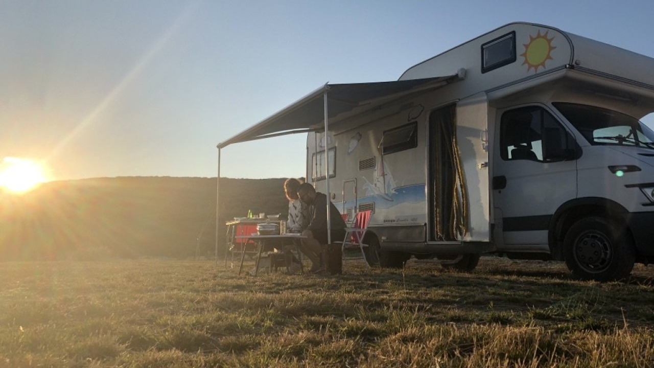
- Set up your camp on a slightly elevated, wind-sheltered flat area, not directly beside a streambed.
- Bring a durable bag to carry out all your trash and packaging; take everything you bring in back out with you.
- Share your route and estimated return time with someone staying in the city; this information will be your safety net if signal is lost.
Those interested in high-altitude trekking and camping-focused programs can compare similar itineraries under our nature and adventure tours section.
Dining and Accommodation Areas
Accommodation and dining infrastructure in the region are concentrated in the settlement centers, not at the mountain foothills. Therefore, travel plans typically involve day trips from the city, returning in the evening, or setting up camp in the higher altitudes.
Accommodation in Hakkari City Center and Yüksekova
Hakkari city center serves as a practical base for routes heading towards Cilo, while Yüksekova is closer to the approach for the Sat Glacial Lakes. Both settlements offer hotel and guesthouse options, but capacity is limited; booking early is advisable during summer months and public holidays. If you plan to spend nights at higher altitudes, complete your camping equipment purchases in the city; don't expect to find supplies at the mountain foothills.
Local Culinary Highlights
Hakkari cuisine is largely shaped by its pastoral traditions. Local cheese varieties, dairy products, herbal preparations, and meat dishes cooked in a tandoor oven are frequently found on menus. Breakfast is a practical way to get acquainted with the region's flavors, and a hearty morning meal will help balance your energy needs during long hiking days. For those seeking culinary-focused travel experiences, our gastronomy and event tours offer a different starting point.
Safety, Permits, and Nature Ethics
The Cilo and Sat region is geographically close to the border, and entry conditions for certain areas can change periodically. This variability is not theoretical but a practical reality on the ground: for instance, in July 2026, the Hakkari Governorship imposed temporary restrictions on mountaineering and nature sports in the region during a search and rescue operation for a lost climber in the Bala Plateau area of Kırıkdağ village, reopening some trails after the operation concluded. Therefore, obtaining confirmation from official sources before finalizing your route plan is the most crucial preparation step for your trip.
- Inquire in advance with the governorship (valilik) and district governorship (kaymakamlık) whether any permits or notifications are required for your route; restriction decisions can be updated even within the season.
- Local mountaineering clubs and guides familiar with the region are the most reliable sources for current road and snow conditions.
- Do not venture onto the glacier surface without proper equipment; crevasses and loose moraine material can be more hazardous than they appear.
- When passing through herds and plateau areas, keep your distance from shepherd dogs and avoid walking directly through the animals.
- Fire-lighting and camping rules within national park boundaries are variable; pay attention to on-site warning signs.
How Many Days Should You Allocate for Your Trip?
For a visitor wishing to explore the Cilo and Sat region on foot, a three to four-day plan offers a balanced framework. The first day can be dedicated to travel and altitude acclimatization, the second to the valley and glacier views towards Cilo, and the third to the Sat Glacial Lakes. A fourth day can compensate for any weather-related delays or allow for an addition of the Heaven and Hell Valley to the itinerary. For those targeting Uludoruk Peak, the duration extends, with programs involving technical climbing and high-altitude camping approaching a week. If you're looking to compare route structures in different regions, you can find inspiration through our all tour options.
Frequently Asked Questions 7
Which district is Cilo Mountain in?
The Cilo massif is within the borders of Hakkari province, extending across the high-altitude area between the city center and Yüksekova. The neighboring Sat Mountains and their glacial lakes are located on the Yüksekova side.
What is Cilo Mountain?
Cilo is a high mountain massif located at the easternmost tip of the Southeastern Taurus Mountains, known for harboring glaciers. With its Uludoruk peak, glacial tongues, and deep valleys, it is considered one of Turkey's most appealing regions for mountaineering.
How high is Cilo Mountain?
Uludoruk (Reşko) Peak, the highest point of the Cilo massif, stands at 4,135 meters, making it Turkey's second-highest point after Mount Ağrı. The Sat Glacial Lakes are situated at an altitude band of approximately 3,400 to 3,500 meters.
Are there glaciers in Cilo Mountain?
Yes, the Cilo Mountains host Turkey's largest valley glacier, İzbırak (Uludoruk) Glacier, which is approximately 4 kilometers long. During summer, when melting accelerates, water flows become prominent at the glacier's base, creating what is known locally as the glacial waterfall.
Is Cilo Mountain known for its natural beauty?
The region's appeal is predominantly nature-based: glaciers, glacial lakes, steep valleys, and high-mountain landscapes. It is ideally suited for a trip focused on hiking, camping, and photography, rather than cultural stops.
When is the best time to visit Sat Glacial Lakes?
The roads leading to the lakes are generally open from mid-July to mid-September. August is the most favorable period for most visitors, due to both road conditions and the retreat of snow cover.
Can you climb Cilo Mountains without a guide?
While short hikes on the valley floor might be possible for experienced groups, routes around the glacier and to the summit require a local guide and technical equipment. Furthermore, it's essential to obtain official confirmation regarding current entry conditions for the region in advance.