Nestled in a sheltered cove that feels more like a calm lake than the open sea, Selimiye is one of the Aegean's most tranquil fishing villages, far removed from the hustle and bustle of mass tourism. If you are organizing your itinerary around the natural wonders of the region, you can explore Marmaris turları alternatives to integrate the peninsula's land and sea excursions into your travel plans. With its charming wooden piers, waterfront seafood restaurants, and the hidden sanctuary of Sığliman just around the bend, Selimiye is the ultimate destination for travelers seeking a blend of seaside luxury and absolute peace.
This field guide is designed for travelers planning a visit, providing unbiased data on driving conditions through the winding mountain roads, waterfront parking logistics, the seabed composition of Sığliman, and the must-visit local culinary stops.
Selimiye Village and Sığliman: Quick Facts
Before you set off for this peaceful coastal haven on the Bozburun Peninsula, here are the essential geographical and logistical details you need to know.
| Parameter | Field & Logistics Information |
|---|---|
| Geographic Location | Muğla Province, Marmaris District, Bozburun Peninsula Coast |
| Nearest Airport | Dalaman Airport (DLM, 135 km distance) |
| Distance from Marmaris Center | Approx. 45 km (55 minutes via winding mountain roads) |
| Sığliman Seabed | Fine sand and shallow rocky bottom; knee-deep for the first 30 meters |
| Wind & Wave Conditions | Wave-free due to the inner harbor morphology protected by surrounding hills |
| Best Time to Visit | May and June, or the autumn window of September and October |
| Local Highlights | Losta dessert (made with goat milk), fresh calamari, thyme honey, and olive oil |
The Natural Harbor of the Bozburun Peninsula and Selimiye
Known in antiquity as Hydas and later as Losta, Selimiye is a historic coastal settlement. The bay's crescent-shaped morphology and the small islands guarding its entrance provide a natural shield against the harsh winds of the open sea. This unique geography has made Selimiye a safe haven for sailors caught in storms since ancient times.
Reaching Selimiye from Marmaris center involves a scenic drive through the asphalt mountain roads passing through İçmeler, Hisarönü, and the Çubucak forests. The panoramic views of the Hisarönü Gulf along the way are breathtaking. However, once you pass the Bozburun junction, the road becomes characterized by sharp, winding turns; we strongly recommend adhering strictly to speed limits.
The steep mountain slopes enveloping the village are blanketed in red pine forests and wild olive groves. This geography has naturally limited the village's inland expansion, helping the architectural fabric remain boutique and concentrated along the shoreline.
Village Life and the Waterfront Promenade
The heart of Selimiye beats along its waterfront promenade, which is largely pedestrianized. The village's characteristic silhouette is defined by two-story stone pensions, rustic wooden piers, and gardens overflowing with colorful blooms.
An early morning stroll along the shore allows you to witness local fishermen tending to their nets. As evening approaches, the tables on the wooden piers are set with fresh seafood, samphire (sea beans), stuffed zucchini flowers, and rock samphire appetizers. A visit is incomplete without trying the crispy Losta dessert made with goat milk, best enjoyed warm from the bakery with a glass of Turkish tea.
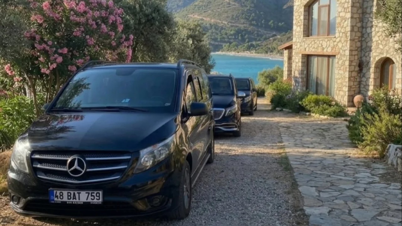
Navigating the narrow coastal streets by car can be challenging, and parking is limited. We recommend that visitors arriving by private vehicle use the designated municipal or private parking lots at the village entrance and enjoy a leisurely walk down to the shore.




Sığliman Bay: Beach and Water Characteristics
Following the narrow asphalt road west from the center of Selimiye for about two kilometers leads you to the tip of the peninsula: Sığliman Bay. Away from the boat traffic of the village center, this bay is a sanctuary that has preserved its raw, natural beauty.
Sığliman (which literally means "Shallow Harbor") is named for its calm and shallow waters. Even after walking thirty to forty meters into the sea, the water level rarely rises above the waist. This makes it an incredibly safe, swimming-pool-like environment for children learning to swim or travelers who are uncomfortable with deep water.
The shoreline consists of fine sand and small pebbles. The water is crystal clear; in the early hours, you can easily spot schools of small fish with the naked eye. A few modest cafes and businesses along the coast provide sun loungers and basic snacks, while wooden changing cabins and freshwater showers make a day trip effortless.
Aşarkaya Watchtower and Hiking Trails
Rising on the southern slope of Selimiye, the ruins of Aşarkaya Castle are the remaining traces of the ancient Hydas city's watchtower. A hike up the trail leads to a summit offering a stunning panoramic view of the entire Selimiye Bay and the surrounding islands.
Because the path is steep and rocky, sturdy hiking shoes or sneakers that support the ankle are essential. The stone wall remnants and ancient burial niches at the peak provide dramatic compositions for photographers, especially during the golden hour of sunset. For those looking to explore more of the region's diverse routes, Muğla turları programs are an excellent resource.
Kamelya Island and the Monastery Ruins
Just off the coast of Selimiye, Kamelya Island is a primary stop for daily boat tours. The island hosts the ruins of a historic monastery built for the prayers of sailors, featuring mosaic floors laid with black and white sea stones.
A centuries-old olive tree in the monastery courtyard provides a peaceful resting spot for visitors. Snorkeling in the clear waters surrounding the island often reveals ancient amphora fragments and a rich underwater ecosystem.
Due to the minimal light pollution in the village, Selimiye is a paradise for stargazers and Milky Way photographers. Spending an evening on the wooden piers, listening to the gentle lap of the waves against the silhouette of the hills, is the ultimate way to unwind. In a village where silence is cherished, peaceful outdoor conversations are preferred over loud entertainment venues.
Comparative Guide: Selimiye vs. Neighboring Bays
To help you choose your spot on the Bozburun Peninsula, we have compared Selimiye and its neighboring coastal stops based on seabed, depth, and logistics.
| Destination | Shore & Seabed Structure | Depth Gradient | Parking & Access | Key Characteristic |
|---|---|---|---|---|
| Sığliman Bay | Fine sand & shallow pebbles | Very slow (shallow for 30m) | Limited roadside parking | Safe, shallow waters for families |
| Selimiye Waterfront | Wooden piers & narrow pebbles | Gradual deepening | Village entrance parking required | Seafood restaurants & boutique stays |
| Cennet Koyu | Natural stone & rocky bottom | Rapidly deepening, crystal clear | Hiking or boat access only | Quiet nature & snorkeling |
| Bozburun Harbor | Concrete quay & stone fill | Deep boat mooring area | Asphalt road access, parking | Gulet and yacht shipyards |
| Söğüt Saranda | Pebble beach & stony shore | Medium depth gradient | Winding village descent roads | Sunset views & octopus specialties |
Terrain, Wind, and Transport Dynamics in Selimiye
When exploring Selimiye, you will mostly encounter wooden pier decking and narrow stone-paved passages. Since wooden surfaces can become slippery when wet, we recommend rubber-soled flip-flops or sandals.
Located in an inner harbor, the water temperature in Selimiye Bay ranges between 26°C and 28°C during the summer, making it exceptionally comfortable for swimming. The breeze from the open sea cannot carry waves into the village; consequently, the water remains mirror-still from dawn until dusk.
For those using public transport, "dolmuş" (minibuses) running hourly from the Marmaris Bus Station to Selimiye and Bozburun are available. However, as the frequency of these minibuses decreases in the evening, it is important to plan your return according to the official schedule.


Visitor Protocol for Selimiye and Sığliman
To preserve the tranquility and ecological balance of the region, we ask visitors to follow these basic guidelines:
- Protect pedestrian safety by avoiding driving your private vehicle into the narrow coastal streets; please use the parking areas at the village entrance.
- Wear water shoes when swimming in Sığliman Bay to avoid stepping on sea urchins, which are occasionally found in the rocky patches.
- If you plan to dine at the waterfront seafood restaurants, we recommend booking your pier-side table by midday.
- Carry plenty of drinking water when hiking to Aşarkaya Castle and opt for hiking boots over sandals.
- Be mindful of fire risks in the forested areas of the Bozburun Peninsula; never leave cigarette butts or glass waste by the roadside.
Frequently Asked Questions 5
Where is the best place to swim in Marmaris Selimiye?
The most popular spot is Sığliman Bay, known for its shallow, sandy bottom. Additionally, the wooden piers in the village center and the secluded Cennet Koyu are excellent for swimming.
How far is Selimiye from Marmaris?
The road distance between Marmaris center and Selimiye Village is approximately 45 kilometers. Due to the winding mountain roads, the drive typically takes between 50 and 55 minutes.
How do I get to Selimiye Village using public transport?
You can easily reach the village via the regular Selimiye-Bozburun minibuses departing from the Marmaris Intercity Bus Terminal.
Is the water deep in Sığliman Bay?
No, Sığliman Bay is exceptionally shallow due to its geomorphological structure. Even if you swim dozens of meters from the shore, the water depth generally remains at waist level.
What should I eat in Selimiye?
Don't miss the daily fresh seasonal fish, grilled octopus, and samphire appetizers along the shore, and be sure to try the village's famous Losta dessert made with goat milk.