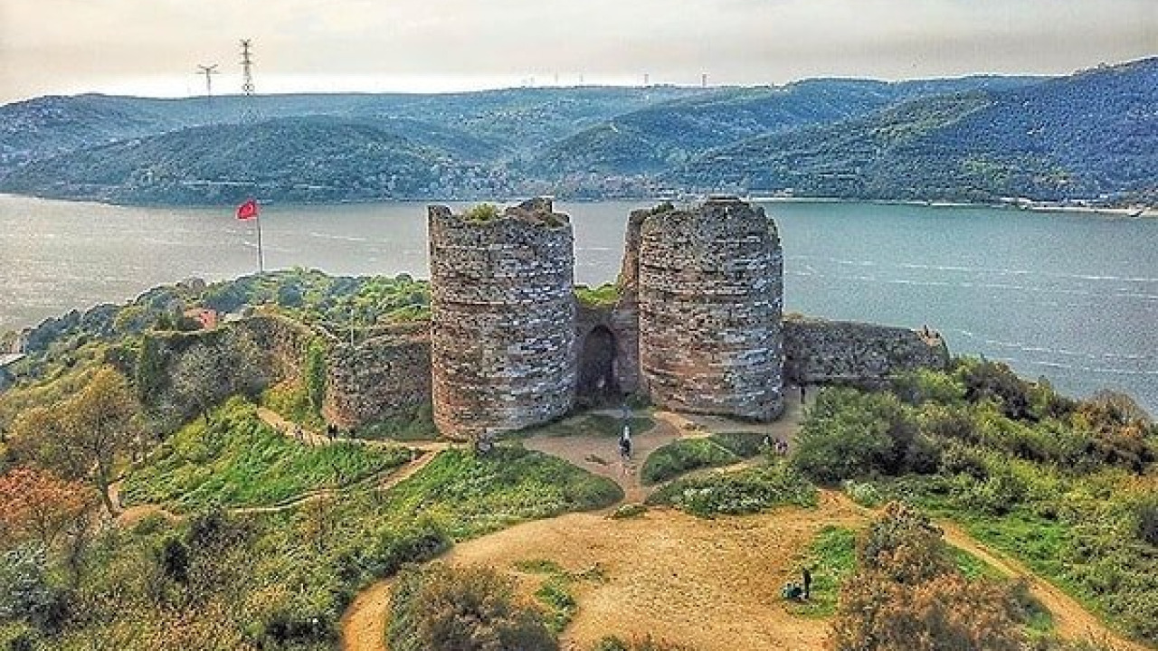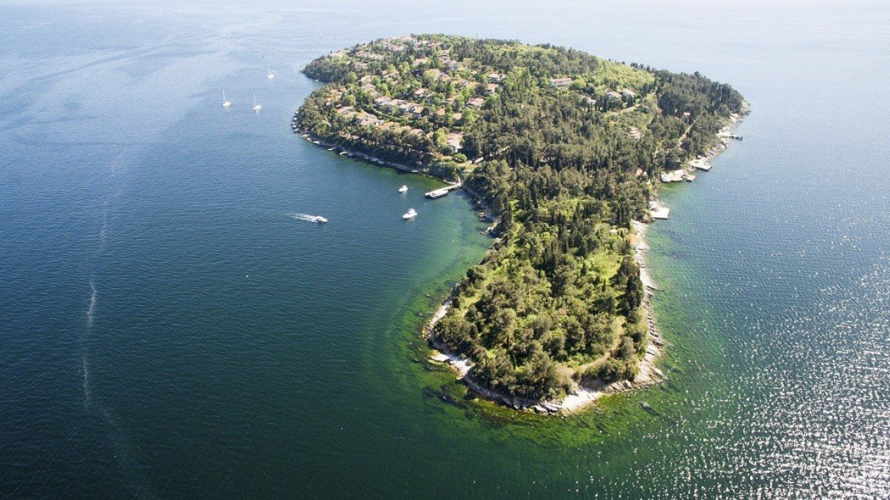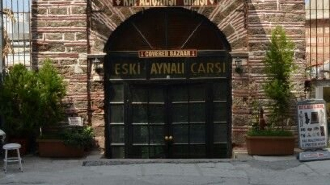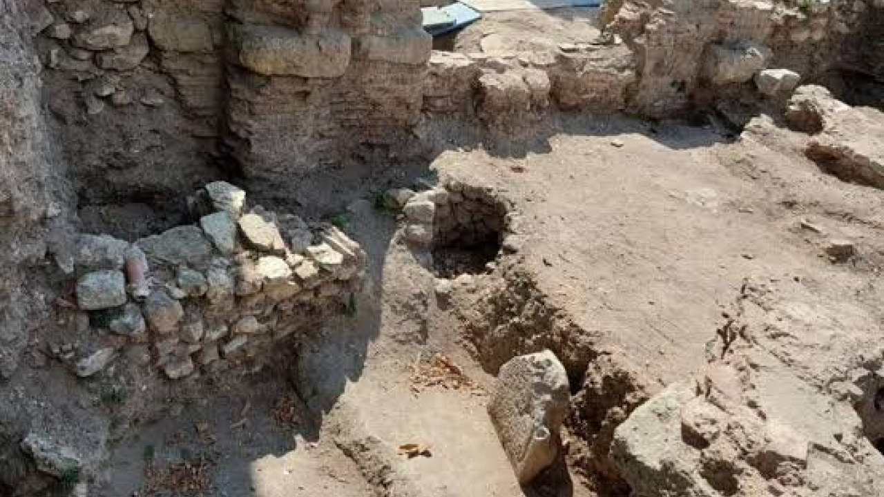
Constantinople isn't confined to a single museum building; it lives on as a city plan beneath modern-day Istanbul. The alternating rows of stone and brick in a mosque courtyard, an archway rising between neighborhood streets, or a sudden stretch of city wall at the end of an alley – these are all fragments of the same ancient layer. This layer doesn't sit neatly in one place: it's spread across the hills of the Historic Peninsula and along the Golden Horn, with many structures now serving different functions and bearing new names. That's why planning a journey through Istanbul's Byzantine layer is less about memorizing a long list of sites and more about learning how to 'read' the city. This guide will show you which "axes" to use for your exploration, which period offers the easiest starting point, three different entryways to suit various interests, and the transport lines connecting these fascinating locations.
Quick Facts
| Topic | Information |
|---|---|
| Area Covered | Scattered structures across the Historic Peninsula and along the Golden Horn |
| UNESCO Status | Istanbul's Historic Areas were inscribed on the World Heritage List in 1985; the backbone of the tour includes the Zeyrek area and the land walls components, with Sultanahmet Archaeological Park as a key starting point. |
| Main Transport Lines | T1 Kabataş-Bağcılar tram line, T5 Eminönü-Alibeyköy tram line, Üsküdar-Haliç ferry line |
| Recommended Start | Half-day, center-focused, or full-day, Golden Horn coastline |
| Best Season | Spring and autumn; the itinerary is primarily outdoor walking |
| Visiting Schedule | Museums operate on summer/winter hours, mosques pause for prayer times |
| Ideal For | History and architecture enthusiasts, travelers keen on long walks |
What Sets This Byzantine Journey Apart from Other Istanbul Tours?
Most Istanbul tours focus on a specific neighborhood or a single monument. The Byzantine layer, however, isn't just about a district; it's the geographical imprint of an entire empire: a capital city plan with its boundaries defined by walls, its center perched on hills, and its harbor facing the Golden Horn. This is the first distinguishing feature; the second is the current identity of these structures.
Clear Boundaries, Scattered Structures
The Eastern Roman capital encompassed the triangular peninsula stretching between the Golden Horn and the Sea of Marmara, sealed off to the west by its formidable land walls. Thus, the area to explore when seeking this layer is quite defined. Istanbul's Historic Areas, inscribed on the UNESCO World Heritage List in 1985, consist of four components: Sultanahmet Archaeological Park, the Süleymaniye area, the Zeyrek area, and the line of the land walls. The latter two components form the backbone of this Byzantine layer, and traversing the slopes between them places the structures in a geographical sequence. Basing your plan on these two axes transforms seemingly scattered ruins into a coherent itinerary.
Modern Names Conceal Ancient Histories
The second challenge in exploring this layer is nomenclature. Searching for structures by their Byzantine-era names on a map will often yield no results, as they are now registered under their Ottoman and Republican-era names. Zeyrek Camii, for instance, was once the church complex of the Pantokrator Monastery. Kariye Camii currently functions as a mosque; for structures with mosque status, visiting hours vary according to prayer times and Fridays, so it's essential to check the latest announcements from the relevant general directorate before your visit. Hagia Irene, located in the first courtyard of Topkapı Palace, is visited as a monument under the Ministry of Culture and Tourism. The Palace of the Porphyrogenitus (Tekfur Sarayı), on the other hand, is explored as a museum in the Blakhernai region at the northwestern tip of the Golden Horn. Noting down the current names of these structures before you set out will prevent wasted time when navigating.
Four Axes for Reading the Byzantine Layer
Instead of memorizing structures one by one, dividing them into four 'axes' will help you place every ruin you encounter into its proper context. Trying to cover all four axes in a single trip can be exhausting; focusing on one or two axes per day will yield more rewarding results.
| Axis | What it Reveals | Where it Concentrates in the City | Visiting Style |
|---|---|---|---|
| Defense | The capital's boundaries and military priority | Western side of the peninsula, Golden Horn and Marmara coastlines | Outdoor walking, external observation |
| Worship and Monasteries | Center of social life and art | Hill ridges and within neighborhoods | Indoor spaces, dependent on prayer times |
| Palaces and Civil Structures | Seat of power and daily life | Central hill and the northwestern tip of the Golden Horn | Museum format, ticketed entry |
| Water and Infrastructure | Siege-resistant urban engineering | Inner parts of the peninsula, underground | Underground spaces, cool and dim |
Making this distinction clarifies the character of your trip: the defense axis demands sturdy legs, the worship axis requires careful timing, and the infrastructure axis invites you to delve into the city's unseen depths. For those eager to explore the underground water structures up close, our underground cistern visit guide offers a distinct starting point. Travelers who prefer to explore this layer with expert guidance can choose from our Istanbul cultural tours options.
Which Period to Start With: A Brief Timeline
Parts of this Byzantine layer date back to the 4th century, while others belong to the city's final centuries as the capital – a difference spanning over a millennium. While you don't need to visit structures in chronological order, knowing which century you're observing will make 'reading' the walls much easier.
| Period | Approximate Time | Its Imprint on the City |
|---|---|---|
| Capital Era | 4th Century | The city's central axis and initial public building layout |
| Justinianic Era | 6th Century | Large-scale domed structures and underground water cisterns |
| Walls Era | 413 AD and onward | The wall line closing off the western side, towers, and moat |
| Komnenian Era | 12th Century | Monastic complexes, hospital, and library functions |
| Late Period | Between 13th and 15th Centuries | Relocation of the palace to the Golden Horn tip, fresco and mosaic programs |
According to the Turkish Historical Society, the land walls were constructed in 413 AD by Anthemius during the reign of Theodosius II, reinforced by Constantinus in 447 AD. This approximately 5,650-meter line was fortified with 96 towers, and the Golden Gate, part of this line, was built around 425 AD for triumphal processions entering the city. These dates explain why the Byzantine layer suddenly intensifies at the western tip of the peninsula, while along the coastline, it becomes sparser and blends into the neighborhood fabric.
Season, Day, and Time: How to Plan Your Visit
A significant portion of this Byzantine layer is explored on foot, outdoors; therefore, choosing the right season is as crucial as planning your route. Walking on hilly and cobbled terrain in spring and autumn is far more comfortable than in mid-summer. During summer, the shadeless wall and coastal lines can be exhausting at midday; in winter, rain and wind can cut short your outdoor explorations. If you plan a program focused primarily on indoor sites, the seasonal impact lessens, and visiting day and time become more prominent.
Visiting Days and Hours
The structures within this layer are not all managed by the same institution, so there isn't a universal opening schedule. Visiting hours for museums and archaeological sites under the Ministry of Culture and Tourism vary between summer and winter seasons, and weekly closing days also differ by site. For structures functioning as mosques, visits pause during prayer times, and a special schedule applies on Fridays. Weekly closing days for municipal museums should also be checked separately.
When planning your trip, simply consult these three resources before you go:
- For sites under the Ministry, current visiting days and hours on muze.gov.tr
- For structures used as mosques, the relevant general directorate's visitor schedule announcements
- For municipal museums, the institution's own visitor page
Light and Crowds
The early morning hours are advantageous for both avoiding crowds and for lighting; the alternating rows of stone and brick appear much more legible in the side light. Dedicating the afternoon to indoor sites and the late afternoon to the coastline will balance your day and prevent you from climbing the same hill twice.
Where to Begin: Three Different Entry Points
There isn't just one gateway to this ancient layer. The time you have, your willingness to walk, and your specific interests will determine which entrance is best for you.
Starting from the Center
The central hill at the tip of the peninsula, encompassing the Sultanahmet Archaeological Park (one of the UNESCO components), was the administrative and religious heart of the capital. It offers a clear and understandable entry point for first-time explorers of the Byzantine layer. Here, structures are within walking distance of each other, easily accessible via the T1 tram line, and even a half-day visit can provide a comprehensive overview. Since most central structures are visited in a museum format, you'll need to plan your day around their specific visiting hours. Those wishing to combine this layer with other city center attractions can explore our Istanbul city center cultural tours options.
Starting from Zeyrek
Zeyrek Camii was the church complex of the Pantokrator Monastery during the Byzantine era. According to the Türkiye Diyanet Foundation's Encyclopedia of Islam, construction of the structure began around 1124 AD by Empress Irene, wife of Emperor John II Komnenos. It comprised three adjoining churches: the Pantokrator Church, the Church of the Theotokos (Virgin Mary), and the Church of St. Michael the Archangel connecting the two. The complex was more than just a group of churches; historical sources indicate it also housed a five-section, fifty-bed hospital, a library, a nursing home for the elderly, a medical school, and a pharmacy. After the conquest, the structure was converted into a madrasah, and the nickname "Zeyrek" given to Molla Mehmed, who taught there, lent its name to the site today.
There's also a practical reason to make Zeyrek your starting point: the structure stands at the heart of one of the UNESCO components, allowing you to 'read' it alongside the surrounding neighborhood fabric, and from here, you can walk down to the Golden Horn. As the building is currently used as a mosque, visits are conducted outside of prayer times. Inside, pay close attention to the points where the three churches merge; you can trace additions from different periods by observing changes in the wall masonry.
Starting from the Golden Horn Coast
The third gateway enters from the water and the coastline. The Fener, Balat, and Ayvansaray line, stretching along the southern shore of the Golden Horn, reveals the coastal edge of the Byzantine layer intertwined with the neighborhood's historic fabric. This is an ideal starting point for travelers who love walking and prefer not to confine their day to a single structure. This route is also convenient for transportation: tram stations and ferry piers share the same neighborhood names, meaning you can plan your journey one way by land and return by sea. Those wishing to explore the coastal neighborhood's intricate details can benefit from our Balat walking route guide.
A Half-Day Introductory Itinerary
A half-day is sufficient for your initial encounter with Istanbul's Byzantine layer. The following sequence prioritizes tackling the uphill climb with fresh legs and ending your day by the coast.
- Start from the Center: Alight at the Sultanahmet or Eminönü station of the T1 Kabataş-Bağcılar line and explore the cluster of structures on the central hill; note down their visiting hours a day in advance.
- Ascend to the Ridge: Climb towards Zeyrek from the Eminönü side; the ascent is short but steep, making it more comfortable to tackle in the morning.
- Pause at Zeyrek: Explore the three-church complex and the surrounding wooden house fabric, keeping an eye on prayer times.
- Descend to the Coast: Head down to the Golden Horn coast and board the T5 Eminönü-Alibeyköy tram; Fener and Balat stations are along this coastline.
- End by the Coast: Continue towards Ayvansaray and conclude your day along the Golden Horn coast; returning by ferry will allow you to see the route from the sea.
This itinerary doesn't cover the entire Byzantine layer, nor is it meant to; its purpose is to help you grasp the logic of this historical stratum on site. You can add the remaining sections on a second day, using the same axis-by-axis approach.
Transportation: Connecting the Byzantine Layer
Since the structures are scattered, choosing the right transportation lines can significantly shorten your travel time. Two tram lines by land and one ferry line by sea trace the backbone of this Byzantine layer.
Tram Lines
The T1 Kabataş-Bağcılar line is 19.3 kilometers long with 31 stations; Sultanahmet, Eminönü, and Beyazıt-Grand Bazaar stations are within walking distance of the central hill's structures. For the Golden Horn coast, the T5 Eminönü-Alibeyköy line is used: this 10.1-kilometer line consists of 14 stations, with an end-to-end journey time of 32 minutes. Counting from Eminönü, Ayvansaray is the sixth station, following Küçükpazar, Cibali, Fener, and Balat. Metro Istanbul operates both lines between 06:00 and 00:00.
Üsküdar-Golden Horn Ferry Line
Şehir Hatları's Üsküdar-Golden Horn service departs from Üsküdar, calling at Karaköy, Kasımpaşa, Fener, Balat, Hasköy, Ayvansaray, and Sütlüce piers before reaching Eyüpsultan, with the return journey following the same route in reverse. According to the Şehir Hatları timetable, the first departure from Üsküdar is at 07:30, and the last is at 21:40; the timetable indicates with an asterisk that the first morning and last evening services do not operate on Sundays and public holidays, so it's crucial to check the schedule when planning your day. Viewing the coastline from the sea offers a unique perspective, explaining why the city walls and palace structures were positioned so close to the Golden Horn.
Pre-Trip Checklist
A journey through the Byzantine layer requires different preparation than a classic museum visit; your itinerary will constantly move between outdoor and indoor spaces.
- Sturdy walking shoes: Cobblestones, steep inclines, and unpaved ground will all be part of your day.
- Appropriate attire chosen in advance: Zeyrek and Kariye on your route currently function as mosques, requiring shoulders and knees to be covered, and female visitors should carry a headscarf.
- Water and a hat: Shade is scarce in outdoor sections, and refreshment stands are infrequent along the route.
- Offline map: Navigating narrow streets is more effective with a map than searching for addresses.
- Screenshots of visiting hours: Closing times for structures along the route vary.
As admission fees vary by institution, visitor status, and season, specific amounts are not provided in this guide; checking the official visitor page of the relevant institution will provide the most accurate current prices.
Frequently Asked Questions 5
Where should I start my exploration of Istanbul's Byzantine layer?
There are three sensible starting points: the central hill at the tip of the peninsula, the Zeyrek area, and the Golden Horn coastline. If you have half a day, the central hill offers a comprehensive overview; if you enjoy architectural interpretation, Zeyrek is suitable; and if you prefer a day focused on walking, the Fener, Balat, and Ayvansaray route is ideal.
How can I find Byzantine-era structures on a map?
Structures are registered today by their current names, not their Byzantine-era names. For example, the Pantokrator Monastery appears as Zeyrek Camii on maps. Noting the current name of each stop when planning your route will prevent getting lost.
How many days should I allocate for this trip?
For an initial encounter with the Byzantine layer, half a day is sufficient. If you wish to see all axes – defense, worship, palaces, and infrastructure – dividing your days by axis will be more efficient than trying to cram everything into a single day.
Who built Zeyrek Camii, and when?
According to the Türkiye Diyanet Foundation's Encyclopedia of Islam, construction of the monastery began around 1124 AD by Empress Irene, wife of Emperor John II Komnenos. The structure consists of three adjoining churches and was converted into a madrasah after the conquest; its current name comes from the nickname "Zeyrek" given to Molla Mehmed, who taught there.
How do I get to the structures along the Golden Horn coast by public transport?
By land, use the T5 Eminönü-Alibeyköy tram line; the line has 14 stations, with Fener, Balat, and Ayvansaray stations lining the coast. By sea, Şehir Hatları's Üsküdar-Golden Horn service calls at Karaköy and Kasımpaşa before stopping at the same piers.