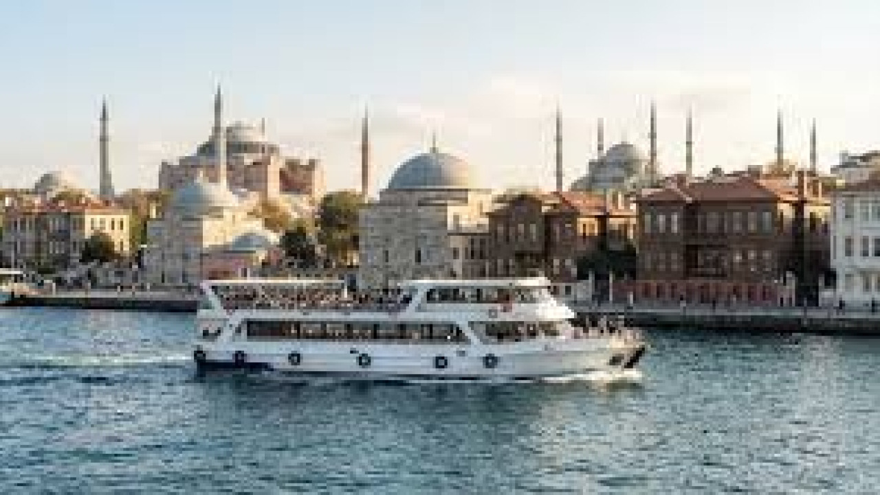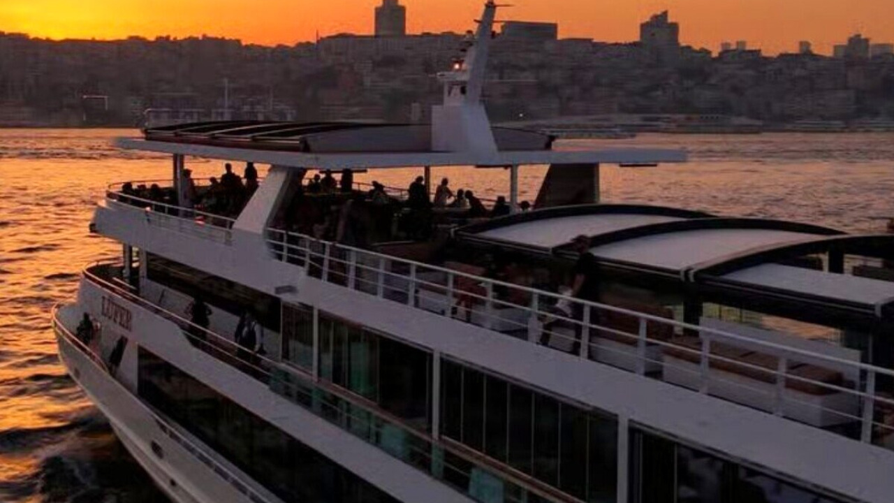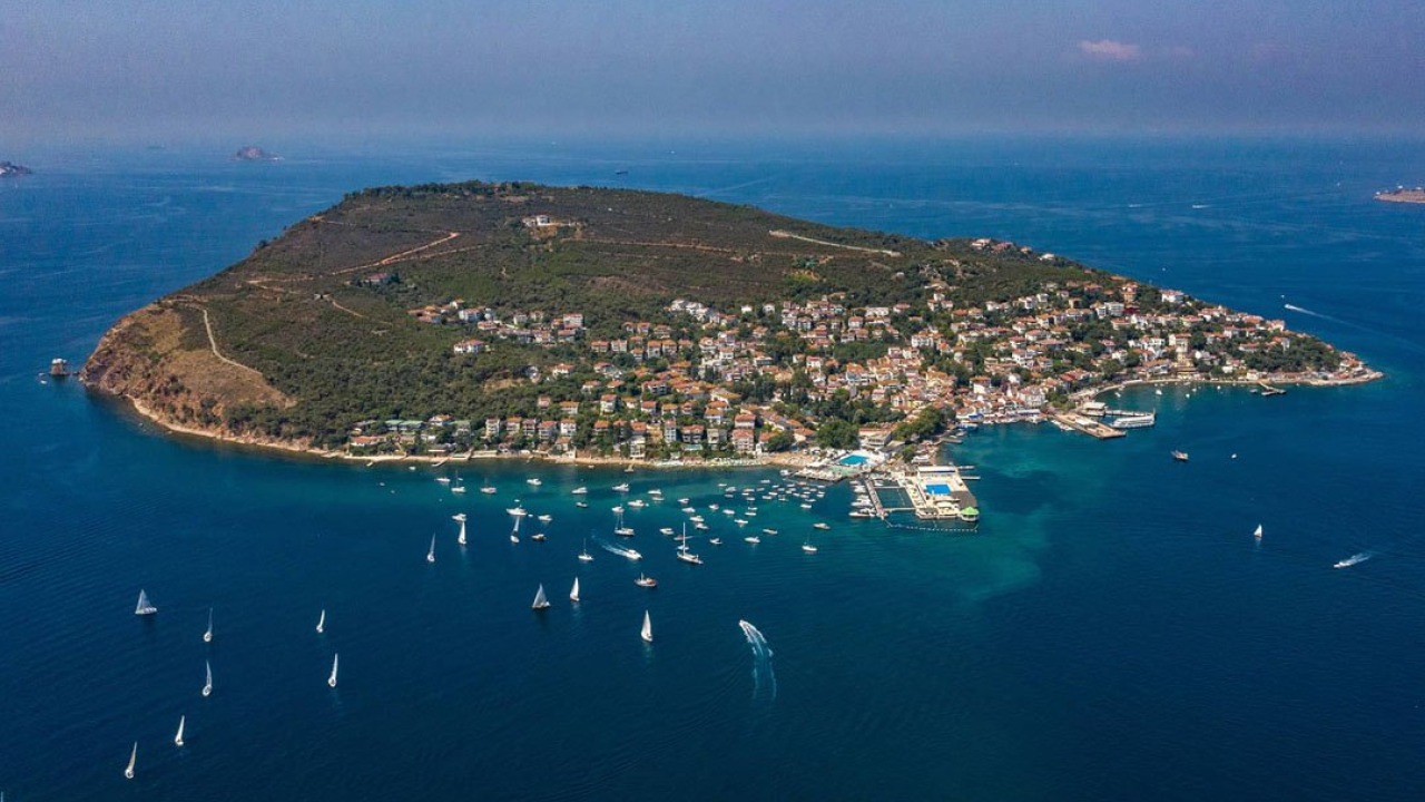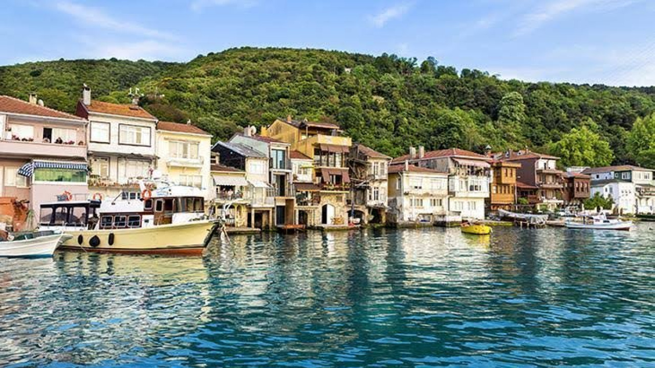

The Bosphorus coastal neighborhoods might seem like independent stops scattered across two shores, yet they all line the same waterway. The City Lines Bosphorus ferry route departs from Eminönü, zigzagging between the European and Anatolian sides. After Kuzguncuk, it calls at Beylerbeyi, then Çengelköy, crosses to Arnavutköy and Bebek, before docking at Kandilli on the Anatolian side again. The short answer to how to explore them lies in this very rhythm: traveling by sea and walking on land aren't two separate programs, but two halves of the same day. The boat offers a panoramic view of the facades, the waterfront, and the entire skyline, while exploring on foot reveals the squares, the charming hills, the intricate street fabric, and the local shopkeepers. This guide seamlessly integrates both perspectives, focusing in detail on three key stops along the route: Beylerbeyi, Kandilli, and Emirgan.
Quick Facts
| Topic | Information |
|---|---|
| Scope | Istanbul Bosphorus coastal settlements on European and Anatolian sides |
| Focus of this guide | Beylerbeyi, Kandilli, Emirgan route and how to experience both sides together |
| Sea connection | City Lines Bosphorus route; departs Eminönü, zigzags between two sides |
| Land connection | Üsküdar transfer point and bus routes following the coastal road |
| Recommended duration | Half-day for one side, full-day for combined sea and land |
| Terrain and pace | Hilly streets, sidewalks narrow in places; flat-soled shoes recommended |
| Best time to visit | April for tulip season, soft light between September and October |
What Changes When You See It From the Sea vs. Land
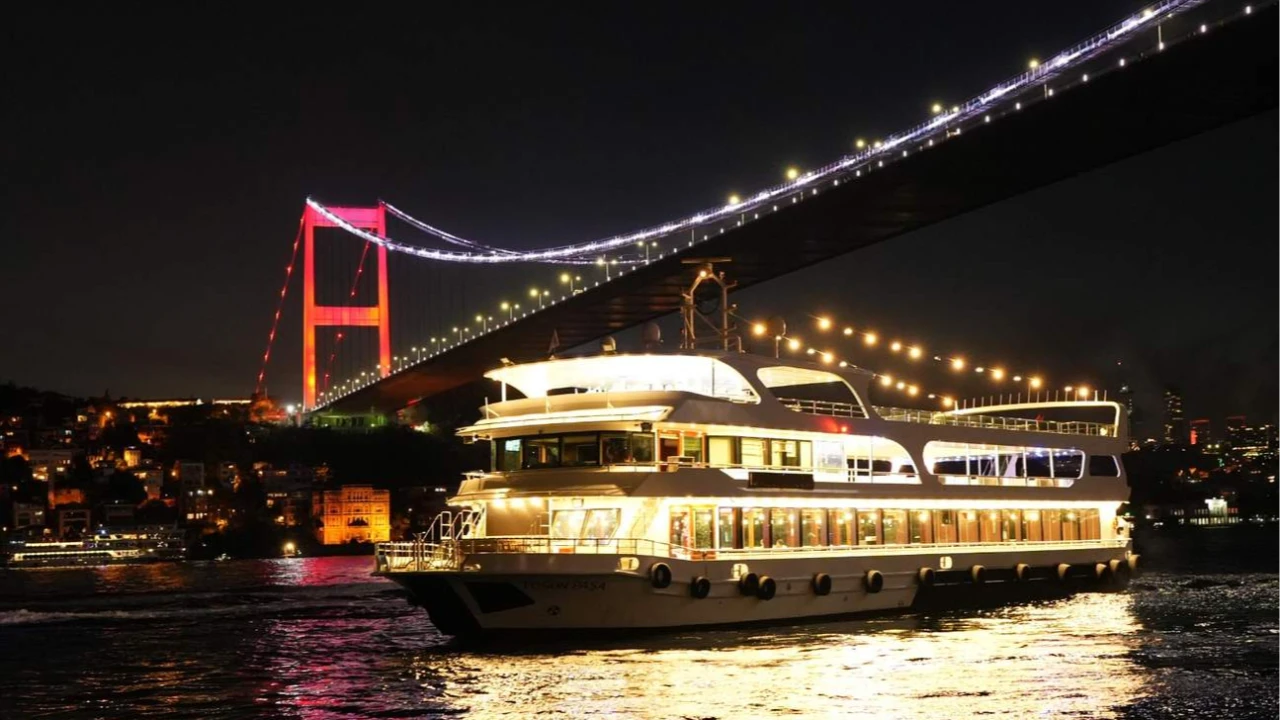
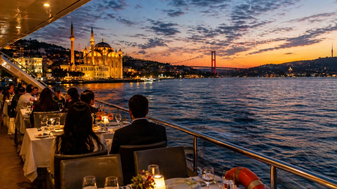
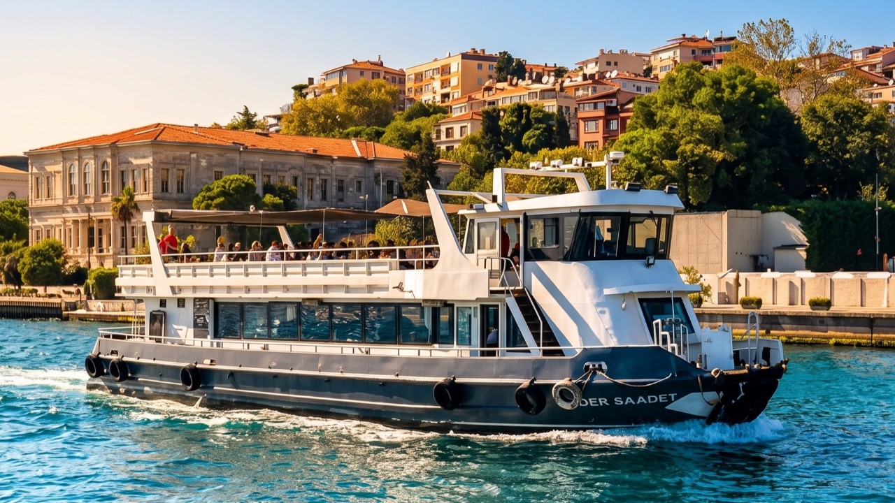
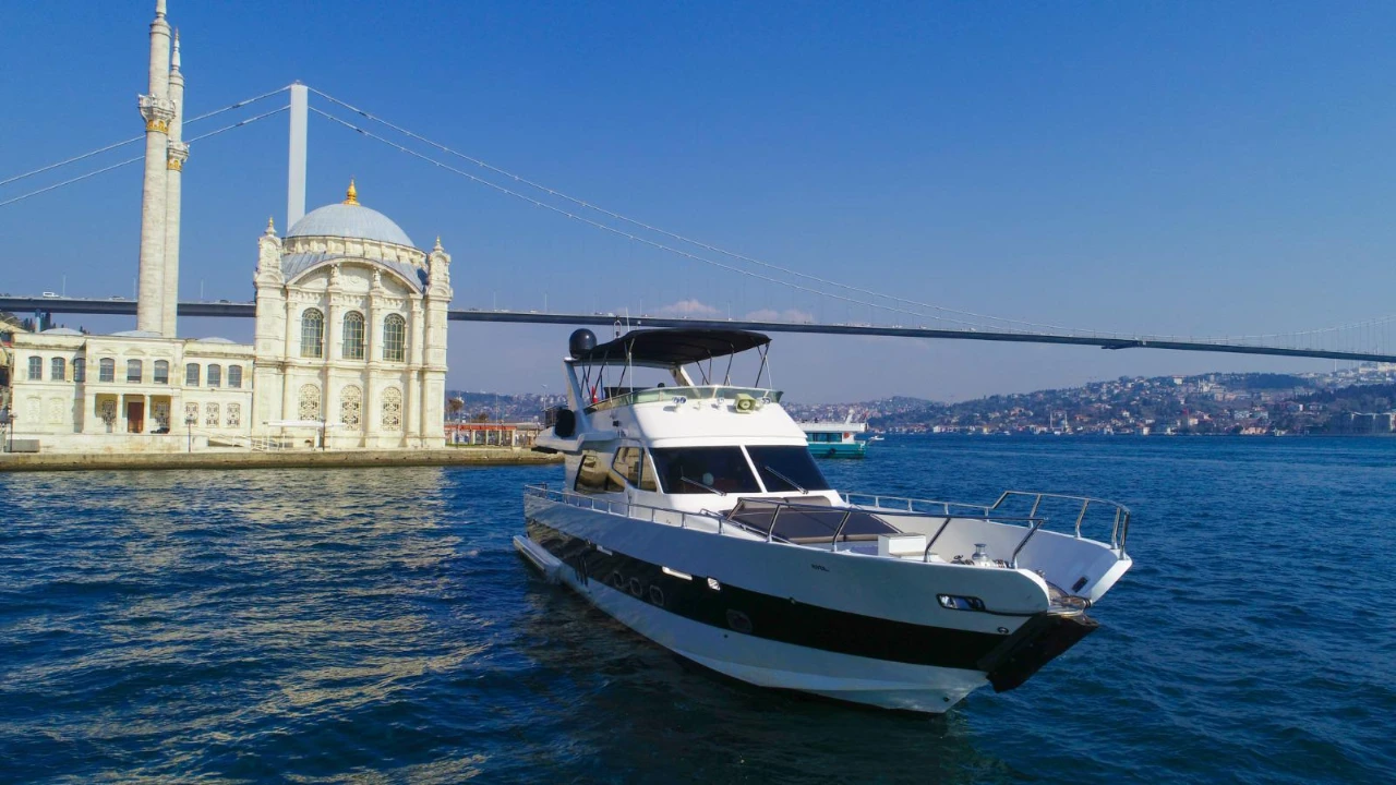
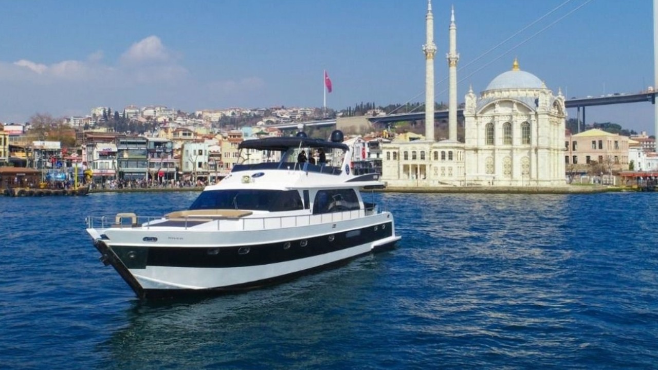
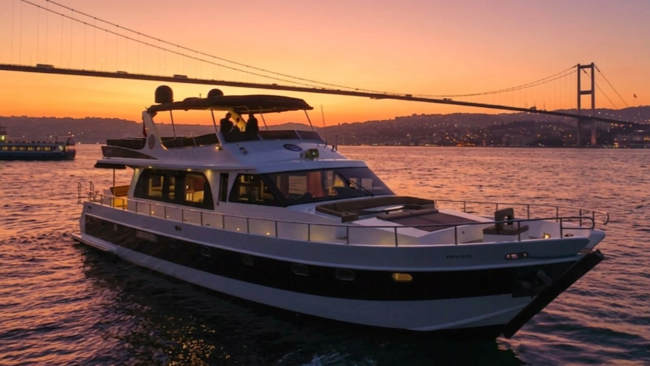
The Bosphorus coastal neighborhoods can be appreciated on two different scales. From the sea, the relationship between structures becomes clear: palace facades, the groves behind them, residences clinging to the hillside, and waterfront promenades all enter the same frame. Walking on land, this grand panorama recedes, replaced by intricate details. Door handles, garden walls, the tea house in the pier square, and the ropes mooring fishing boats are only noticed up close. Those wishing to incorporate the sea perspective into their itinerary can explore options on our Bosphorus boat and yacht tours page, scheduling them before or after their coastal walk.
The Layer Seen from the Sea
From the water, the logic behind the positioning of coastal structures becomes evident. Due to the steep slopes and narrow flat areas, buildings are oriented either parallel or perpendicular to the sea. Waterfront properties often feature boathouse entrances at sea level, openings that are invisible from land. The Bosphorus current is also best understood from the sea: according to data from the Ministry of Transport and Infrastructure, the surface current flows north to south year-round and can exceed 6 nautical miles per hour, while a reverse undercurrent exists from an average depth of 15 meters. Whirlpools form off Kandilli, Kanlıca, and Yeniköy, which is why the ferry's route doesn't follow a straight line.
The Layer Explored On Foot
Once you step ashore, the scale shifts to the neighborhood. The pier square is the heart of daily life in most coastal districts: ferry-goers, amateur anglers casting their lines, and pedestrians strolling along the waterfront all share the same space. Behind the square, the ascent begins, and within a few hundred meters, the urban fabric completely changes, and the sea view disappears.
Observations worth making along the coastline include:
- Noting boathouse entrances and waterfront gates from the sea, then searching for them on land.
- Observing the change in water color and direction along the whirlpool line off Kandilli.
- Exploring the three pavilions and two ponds within the walking paths of Emirgan Grove.
Three Key Stops Along the Bosphorus Coast
This guide delves into three complementary stops along the Bosphorus, rather than the entire coastline. Ortaköy square, the coastal stretch of Bebek and Arnavutköy, the streets of Kuzguncuk, the areas around Çengelköy and Anadolu Hisarı, and Rumeli Hisarı are subjects for separate articles.
Beylerbeyi: Palace, Pier, and Fishing Shelter
Beylerbeyi is a coastal settlement on the Anatolian side, just north of the 15 Temmuz Şehitler Köprüsü (July 15th Martyrs Bridge), and its character is largely defined by its palace. According to National Palaces records, the current Beylerbeyi Sarayı was built by Sultan Abdülaziz between 1863 and 1865, replacing a wooden structure from the reign of Mahmud II on the same site. The palace comprises Mabeyn (State Apartments) and Harem sections, featuring 24 rooms and 6 halls spread across three floors. The main building is complemented by additional structures like the Mermer Köşk (Marble Pavilion), Sarı Köşk (Yellow Pavilion), and Ahır Köşkü (Stable Pavilion), set within approximately 70 acres of gardens. The palace served as a summer residence and hosted foreign dignitaries.
The visiting schedule is straightforward: the ticket office opens at 09:00 and closes at 17:00, with the palace closed on Mondays. The address is Beylerbeyi Mahallesi, Abdullah Ağa Caddesi No: 12, Üsküdar. As visiting days and hours can change seasonally, it's advisable to confirm the latest information on the official website before your visit. Entrance fees are set by the National Palaces and vary by visitor type; check the official ticketing page for current rates. If you prefer to integrate the palace visit into a pre-arranged day rather than planning it yourself around ticket office hours, browse our list of Istanbul cultural tours.
Beyond the palace, the pier itself is a significant stop. According to City Lines records, the Beylerbeyi pier, originally a wooden structure renovated in 1898, was rebuilt in concrete in 2006. The ferry docking area is 15.2 meters long, and the pier front is 5.7 meters deep. A small fishing shelter is located next to the pier, and the square bustles with the activity of this vibrant harbor.
Kandilli: The Bosphorus' Narrowest Point and Hilltop Institutions
Kandilli sits directly above the narrowest section of the Bosphorus. According to the Ministry of Transport and Infrastructure, the two continents converge to approximately 700 meters between Aşiyan and Kandilli. Throughout the Bosphorus, ships must make up to 12 course changes, some as sharp as 80 degrees. This narrowing is also palpable from land: structures on the opposite shore appear distinctly closer here.
Two institutional buildings stand out on the ridge. The Kandilli Rasathanesi (Observatory) was founded in 1868 as Rasathane-i Âmire and moved to its current location on İcadiye Tepesi (İcadiye Hill) in 1911 under the direction of Fatin Gökmen. The institution was renamed Kandilli Rasathanesi in 1936 and became affiliated with Boğaziçi University in 1982. It remains an active research institute, not a freely accessible museum; inquire about visiting conditions in advance.
The second structure is the Adile Sultan Sarayı (Adile Sultan Palace). Built as a summer residence for Sultan Abdülaziz's sister, Adile Sultan, its exact construction date is unknown but is placed after Abdülaziz's ascension to the throne in 1861. Its architect is recorded as Sarkis Balyan, one of the imperial architects. The building passed to the treasury in 1914 and was taken over by the Ministry of Education in 1916, opening as the Adile Sultan Girls' School. Used for many years as Kandilli Girls' High School, the building now operates as an education and cultural center under the name Adile Sultan Sarayı, as reported by the Üsküdar District Governorate. It is not a freely accessible museum; interior access depends on event programs, but its facade can be admired from the street.
Emirgan Grove: Three Pavilions, Two Ponds, and Tulip Season
Emirgan is located on the European side, in the northern section of the Bosphorus, and takes its name from an Ottoman-era endowment. The area was first granted to Nişancı Feridun Bey and known as Feridun Bahçesi (Feridun's Garden). During the Revan Campaign, Sultan Murad IV took Tahmasb Kulu Han, son of Emirgûne, who surrendered the Revan Fortress, and granted him this garden; the district's name derives from this history.
Today, the grove is managed by the Istanbul Metropolitan Municipality. Within the grounds, you'll find the Sarı Köşk (Yellow Pavilion), Pembe Köşk (Pink Pavilion), and Beyaz Köşk (White Pavilion), named after their exterior colors, along with two ponds and numerous walking paths. The Istanbul Tulip Museum and Research Center is also located within the grove. During the Istanbul Tulip Festival in April, the grove becomes one of the main gardens, and both the grove and the coastal road become noticeably crowded during these weeks. Şerifler Yalısı (Şerifler Mansion), Emirgan Camii (Emirgan Mosque), and the Sakıp Sabancı Museum are also within walking distance of Emirgan, making it easy to spend a relaxed half-day exploring the grove and its surroundings.
Which Piers Does the Bosphorus Ferry Line Call At, and How Long Does a Bosphorus Tour Take?
The scheduled Bosphorus ferry line departs from Eminönü and alternately calls at piers on both sides, including Beylerbeyi, Kandilli, and Emirgan. The City Lines Long Bosphorus Tour, which goes all the way to Anadolu Kavağı, takes approximately six hours, including a break. This tour is a separate service and does not dock at these three specific neighborhoods; those wishing to hop on and off at various stops should choose the scheduled line, while those who want to see the entire Bosphorus in one go should opt for the tour.
Why Does the Ferry Line Zigzag?
The scheduled line's pier sequence alternately covers both shores: it starts from Eminönü, passes Kabataş, Beşiktaş, and Ortaköy, then crosses to the Anatolian side, before returning to the European side. This pattern allows for exploring both shores without having to dedicate separate days to each.
| Stop | Position on the line departing from Eminönü | Itinerary Note |
|---|---|---|
| Üsküdar | First major pier on the Anatolian side after Ortaköy | Marmaray and M5 metro transfers here |
| Beylerbeyi | After Kuzguncuk | Palace and fishing shelter adjacent to the pier |
| Kandilli | Back on the Anatolian side after Bebek | Requires an uphill walk for the hilltop institutions |
| Emirgan | On the European side after Kanlıca | Grove entrance is close to the coastal road |
| Anadolu Kavağı | Northernmost point of the line | Don't go all the way without dedicating a full day |
City Lines also offers short-distance services among its Bosphorus routes, including connections between Küçüksu and the Beşiktaş/Kabataş direction, Çengelköy and İstinye, and the line between Bebek and Emirgan. The first two directly connect the two shores, while the Bebek and Emirgan line connects two points on the same side. Ferry schedules vary by day and season; ticket fares also differ by visitor type, so check City Lines' current schedules and fare tariffs before departure.
Land Connections and Transfers
For those traveling by land to the coastal neighborhoods on the Anatolian side, Üsküdar serves as the main hub. Metro İstanbul's driverless M5 line starts from Üsküdar Square, where the Marmaray station is also located; bus routes following the coastal road continue from here towards Beylerbeyi and Kandilli. On the European side, the coastal road connects to Emirgan via routes departing from Beşiktaş and Kabataş. Since the coastal road is narrow and open to traffic, the sea route often provides a more predictable travel time during peak hours.
When to Visit the Bosphorus Coastal Neighborhoods: Season and Time of Day
The Bosphorus coastline can be explored year-round. The period between April and October offers a balanced experience in terms of light and pace, while early mornings are ideal for finding the pier squares and uphill streets less crowded.
| Period | Advantage for the Coastal Route | Point to Note |
|---|---|---|
| April | Tulip gardens open in Emirgan, grove becomes the center of the program | Grove and coastal road get crowded during festival weeks |
| May to June | Long days, comfortable deck, cool uphill walks | Midday sun is strong; hat and water are essential |
| July to August | Noticeable coastal coolness in the evening | Little shade on uphill paths, mornings are more comfortable |
| September to October | Soft light, crowds thin out | Wind can be sharp on deck on windy days |
| November to March | Pier squares are quiet, indoor spaces are comfortable | Ferry services may change due to adverse weather |
Dividing your day with indoor activities during midday and returning to the coast in the late afternoon helps disperse crowds. For photography, the first light of morning and the hours before sunset best capture the texture of the facades.
Dining, Drinking, and Break Spots Along the Coast
Break points along the coastal neighborhoods are concentrated around the pier squares and within the groves. The Pembe Köşk (Pink Pavilion) in Emirgan Grove is part of the Istanbul Metropolitan Municipality's social facilities and serves as a scenic resting spot overlooking the grove; its capacity is arranged for both indoor and outdoor seating. Beylerbeyi Sarayı also features a cafeteria service, so there's no need to interrupt your palace visit with a long break. The fishing shelters around the piers become lively in the early hours of the day.
Prices vary by establishment and season; current information can be found on the respective establishment's official source. Those curious about how city cuisine changes from neighborhood to neighborhood can explore the topics in our Istanbul cuisine guide article.
A Step-by-Step Bosphorus Coastal Day
The following itinerary starts on the Anatolian side, crosses to the European side to complete the day, and avoids climbing the same hill twice.
- Gather in Üsküdar: The Marmaray and M5 metro lines intersect here; take a bus following the coastal road towards Beylerbeyi.
- See the palace early: Beylerbeyi Sarayı ticket office opens at 09:00 and is closed on Mondays; plan your day accordingly.
- Take a break at the pier square: The fishing shelter and the area around the square are perfect for a short breather after your palace visit.
- Ascend to Kandilli ridge: The Observatory and Adile Sultan Sarayı can be admired from the facade; from here, you'll see the Bosphorus' narrowest section.
- Cross to the opposite shore: Board a Bosphorus line ferry from Kandilli pier; the northbound service will dock at Emirgan on the European side after Kanlıca.
- Conclude with Emirgan Grove: Explore the three pavilions, ponds, and walking paths in the soft evening light; plan your return via the coastal road.
Those wishing to connect this day to the museum route in the Historical Peninsula can reserve the itinerary outlined in our Historical Peninsula museums itinerary article for a second day.
Practical Tips for Your Coastal Exploration
- Confirm ferry departure times before setting out; Bosphorus line services become less frequent during the day.
- Avoid planning your palace visit for a Monday; that day is better spent exploring the grove and coastal walks.
- The Rasathane (Observatory) and Adile Sultan Sarayı are not freely accessible museums; inquire about visiting conditions in advance and admire their facades from the street.
- The wind on the ferry deck is stronger than on land; dress in layers and secure your hat.
- Coastal sidewalks can be narrow in places and merge with the road; walk on the sea side with groups including children.
- Different fare tariffs apply for palace entrance and Bosphorus tour tickets based on visitor type; check official sources for current rates.
Practical tip: If you time the crossing between Kandilli and Emirgan for the middle of the day, the ferry deck will be more comfortable in terms of both light and crowd.
Frequently Asked Questions 6
Which are the Bosphorus coastal neighborhoods?
On the European side, Ortaköy, Arnavutköy, Bebek, Rumeli Hisarı, Emirgan, İstinye, and Sarıyer; on the Anatolian side, Kuzguncuk, Beylerbeyi, Çengelköy, Kandilli, Anadolu Hisarı, Kanlıca, Paşabahçe, and Beykoz are well-known settlements along the coastline. The City Lines Bosphorus ferry route provides piers to most of these neighborhoods.
Is it possible to explore the Bosphorus coastal neighborhoods by ferry?
Yes. The City Lines Bosphorus ferry route departs from Eminönü; after calling at Kabataş, Beşiktaş, and Ortaköy, it stops at Üsküdar, Kuzguncuk, and Beylerbeyi, then continues north via Çengelköy, Arnavutköy, Bebek, Kandilli, Küçüksu, Anadolu Hisarı, Kanlıca, Emirgan, and İstinye. Schedules vary by day and season.
Which day is Beylerbeyi Palace closed, and what are its hours?
According to National Palaces information, the palace is closed on Mondays; the ticket office opens at 09:00 and closes at 17:00. As visiting arrangements can change seasonally, it's necessary to check the institution's official website before your visit.
Where is the narrowest point of the Bosphorus?
According to the Ministry of Transport and Infrastructure, the two continents converge to approximately 700 meters between Aşiyan and Kandilli. Throughout the Bosphorus, ships make up to 12 course changes, some as sharp as 80 degrees, which technically complicates passage.
What can be seen in Emirgan Grove?
Within the grove, you'll find the Sarı Köşk (Yellow Pavilion), Pembe Köşk (Pink Pavilion), and Beyaz Köşk (White Pavilion), named after their exterior colors, along with two ponds and numerous walking paths. The Istanbul Tulip Museum and Research Center is also located within the grove. During the Istanbul Tulip Festival in April, the grove stands out as one of the main gardens.
Should I explore the coastal neighborhoods by boat or on foot?
Both complement each other. The boat reveals the facades, waterfronts, and the entire skyline, while a walk on land offers a close-up experience of the squares, hills, street fabric, and local neighborhood life. An itinerary that dedicates half a day to the sea and half a day to land covers both perspectives.