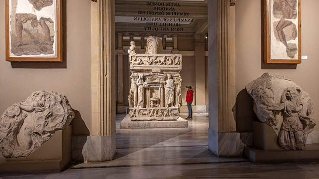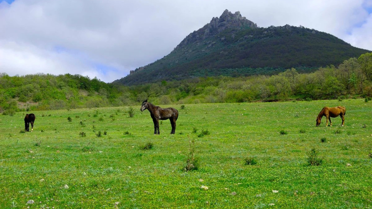

The journey from Fethiye to Kaş spans approximately 105 to 110 kilometers along Turkey's stunning Western Mediterranean coast, but how you cover this distance truly defines your adventure. This route offers a multitude of options: dozens of daily minibuses, a winding yet incredibly scenic highway, and multi-day boat trips. Budget-conscious travelers often opt for the bus, while those with private vehicles can easily add ancient wonders like Ksanthos and Patara to their itinerary. Boat enthusiasts discover hidden coves from a unique sea perspective, and Lycian Way trekkers stretch the same path over several days. This guide compares bus, car, boat, and hiking options based on duration, schedules, cost, and seasonal conditions, detailing each captivating stop along the way.
Quick Answer: How to Get from Fethiye to Kaş?
There is no regular ferry service between Fethiye and Kaş; daily transportation is primarily by road, via the D400 state highway. A non-stop drive by private car takes about 2 hours, while minibuses, with their frequent stops, complete the journey in 2 to 2.5 hours. Boat travel isn't a direct transport option but rather part of a multi-day blue cruise itinerary. For those who prefer to travel without a motor vehicle, the Fethiye-Kaş section of the Lycian Way can be hiked over 8 to 10 days, broken into stages.
When deciding, consider these questions: Do you plan to stop at ancient cities and beaches along the way? How much luggage do you have? Is your accommodation in Kaş within walking distance of the town center? If you're simply moving from one town center to the other, a minibus is practical and economical. If you want to spend hours at spots like Kaputaş, Patara, or Saklıkent, the flexibility of a private vehicle is paramount. If you're staying in an area outside the center, such as Çukurbağ Peninsula, factor in local transport after your arrival.
Quick Facts
| Topic | Information |
|---|---|
| Distance | 105 to 110 kilometers via D400 (varies by source) |
| Duration (private car) | Approx. 2 hours non-stop; 4 to 6 hours with sightseeing stops |
| Duration (minibus) | 2 to 2.5 hours with intermediate stops |
| Road | D400 coastal highway, includes two-way and winding sections |
| Operating hours | Starts early morning, ends late afternoon; no night services |
| Winter frequency | Fewer services, last service earlier in the evening |
| Stops along the way | Saklıkent Kanyon, Tlos, Ksanthos, Letoon, Patara, Kalkan, Kaputaş Plajı |
| Hiking alternative | Fethiye-Kaş section of the Lycian Way, 8 to 10 days in stages |
| Airports | Dalaman (approx. 50 km to Fethiye), Antalya (approx. 190 km to Kaş) |
| Best time to visit | May, June, September, October |
| Cost considerations | Minibus tickets per person; archaeological site entries separate; Müzekart (Turkish Museum Pass) valid at Ministry sites, not at national parks or municipal facilities |
Note on prices and times (applies to the entire guide): This guide intentionally avoids providing absolute figures for prices and exact departure times. Entrance fees for archaeological sites change annually, and transport schedules vary seasonally; outdated figures can lead to incorrect planning. Instead, we specify which items incur a fee, where the Müzekart (Turkish Museum Pass) is valid, whether different tariffs apply for local and international visitors, and what factors determine the price. For current figures, always consult the ticket office at the site, or the bus station ticket office or official company channels for transport schedules. This note will not be repeated in the following sections.
Step-by-Step D400 Route and Stops Along the Way
The entire route follows the coastline of the Lycian region. Since the border with its western neighbor, Caria, is roughly drawn around the Dalaman River, the entire Fethiye-Kaş line remains within Lycian territory. The following sequence provides a logical flow of the road from Fethiye center to Kaş; each stop is close to the main road and can be easily added to your day's itinerary.
- Depart from Fethiye center and pass the turn-offs for Ölüdeniz and Hisarönü; this initial section can be slow due to city exit traffic, as the turn-off is 8 to 10 kilometers from the center.
- Turn towards Yaka and Güneşli to visit Saklıkent Kanyon and the ancient city of Tlos. From the D400 turn-off, Tlos is about 13 km inland, and Saklıkent about 21 km; the total distance from Fethiye center to Saklıkent is approximately 45 km. This detour requires a budget of around 40 km for a round trip.
- Return to the D400 and cross the Eşen plain; the road straightens in the greenhouse region, and average speed increases.
- Stop at Ksanthos ancient city in Kınık village, followed immediately by the Letoon sanctuary in Kumluova.
- Descend via Gelemiş village to Patara ancient city and its beach; the archaeological site and beach share the same entrance.
- Turn off at Kalkan to visit the town and take a break, then return to the road for a quick swim stop at Kaputaş Plajı.
- Complete the remaining approximately 20 kilometers after Kaputaş to arrive in Kaş center; the bus station is within walking distance of the center.
Fethiye Exit, Ölüdeniz and Kayaköy
Fethiye, a port city built on the ancient Telmessos, features rock tombs that overlook the city center from the hillside today. If you have half a day before heading to Kaş, the Ölüdeniz lagoon, located 14 kilometers from the center, and Kayaköy, an abandoned village after the 1923 population exchange, make for an excellent start. In Kayaköy, the stone houses and remnants of two churches still stand; hiking trails descend from the village to Ölüdeniz.
Travel note: The intercity bus station and the minibus garage serving the Ölüdeniz and Çalış lines are not in the same location in Fethiye. When buying your ticket to Kaş, ask which terminal it departs from. Leaving early in the morning makes things easier, as paragliding flights from Babadağ (known launch altitude around 1,700 meters) intensify around noon, and traffic at the Ölüdeniz turn-off slows down.
Saklıkent Kanyon and Tlos Ancient City
Saklıkent is an approximately 18-kilometer-long gorge carved by the Eşen River, with the accessible section covering the first 4 kilometers from the entrance. The Kanyon is within the borders of Saklıkent National Park, named after it, and administratively belongs to Muğla's Seydikemer district; this status directly affects both visitor regulations and who determines the entrance fees. After the wooden platform at the entrance, the walk continues in the water, so water shoes with good grip are necessary. The Kanyon water is icy cold even in mid-summer; your feet will go numb with the first steps.
At the same turn-off, in the direction of Yaka village, lies Tlos. One of Lycia's early settlements, the city features rock-cut tombs, a theater, and the remains of an Ottoman-era castle atop the acropolis. The rock tomb known for its Bellerophon relief is on the acropolis face. Late spring to early June is a balanced period: river flow in the Kanyon can be high in April, and the midday heat in August makes hiking difficult.
Kanyon entrance is paid, but this is a national park, not an archaeological site managed by the Ministry; therefore, the Müzekart (Turkish Museum Pass) is not valid here. The tariff is determined by a dual structure: the General Directorate of National Parks sets the fee for foreign visitors, and Seydikemer Municipality sets the fee for local visitors; this is why you might see two different price lists at the ticket booth. Tlos is ticketed separately: a Kanyon ticket does not grant entry to Tlos, and vice-versa, so if you plan to visit both on the same day, budget for two separate entries.
Ksanthos and Letoon: The Heart of Lycia
Ksanthos, located in Kınık village, is approximately 65 kilometers from Fethiye and is known as the capital of the Lycian League. The language of the inscriptions found here also sets it apart: the Lycian language is not related to Greek but to the Luwian-rooted Anatolian languages, meaning the Lycians were not Greek but one of the indigenous peoples of Anatolia. The colonnaded street, Roman-era theater, the relief-decorated tomb pillar known as the Harpy Monument, and Lycian-type sarcophagi are all within the same area. Letoon, about 4 kilometers southwest, is a sanctuary dedicated to the goddess Leto; the foundations of the temples of Leto, Apollo, and Artemis, along with the sacred pool affected by groundwater, can be seen here. Both sites were jointly inscribed on the UNESCO World Heritage List in 1988.
Both sites are archaeological sites operated by the Ministry, so they are subject to a fee, and the Müzekart (Turkish Museum Pass) is valid. During the summer, they remain open until evening, closing earlier in winter, with ticket sales stopping some time before closing. Shaded areas are scarce at both sites: the walk between the colonnaded street and the theater at Ksanthos is entirely exposed, and the area around the sacred pool at Letoon is also open to the sun. Visiting both sites together takes about three hours, or half a day including the 4-kilometer village road between them. For guided programs to see the ancient cities along the route, the historical city tours list offers options that cover the same day with less driving.
Patara Ancient City and Beach
Patara is known as the city where the Lycian League assembly met and as the birthplace of Saint Nicholas. The excavated assembly building, theater, main street, and lighthouse ruins are open for visitors. The vast beach behind the archaeological site is a caretta caretta (loggerhead sea turtle) nesting area, so it is closed to visitors in the evenings, and permanent construction on the beach is prohibited; this is why the beach retains its natural appearance.
Practical tip: Since the archaeological site entrance and the beach entrance are on the same line, specify that you will use both when buying your ticket. The archaeological site is operated by the Ministry, so the Müzekart (Turkish Museum Pass) is valid here. Accommodation is concentrated in small guesthouses in Gelemiş village; the road from the village to the beach is about 2 kilometers, walkable but unshaded. June and September are balanced months: in July and August, the lack of shade on the beach makes midday visits difficult, and after October, winds increase the waves.
Kalkan: A Town Built on a Hillside
Kalkan, formerly known as Kalamaki, is built on a hillside overlooking a bay, reached by a steep 1.5-kilometer descent from the D400 turn-off. Boutique hotels converted from stone houses, narrow streets, and terraced restaurants around the pier define the town's character. The beach is pebbly and features platforms; those seeking sandy beaches head to Patara.
For those arriving by minibus: some services enter the town, while others drop passengers at the main road turn-off. Ask about this when buying your ticket, otherwise, walking down from the turn-off means a steep descent, which is difficult with luggage.
Afternoon winds can create waves in the bay; if you plan to swim, morning hours are calmer. The remaining distance from Kalkan to Kaş is 27 kilometers, making a long lunch break in Kalkan and arriving in Kaş by evening a comfortable plan.
Kaputaş Plajı
Kaputaş is located 7 kilometers from Kalkan and 20 kilometers from Kaş, at the mouth of a Kanyon right next to the D400. It is accessed by a guarded staircase running parallel to the road. For many years, this staircase was known for its 187 steps, but it has recently been renovated, and the number of steps has been almost halved, so older sources do not reflect the current descent. Even in its renovated state, the descent is steep: it is not suitable for wheelchairs or strollers, and the climb back up can be tiring for those with knee issues. The turquoise color is due to the fresh water mixing with the sea from the Kanyon, which is why the water in the shallow section is noticeably cooler than the rest of the sea.
Cost status: The beach is operated by the Kaş Municipality Directorate of Operations and Affiliates, and there is an entrance fee. The tariff is determined by the municipal council's decision each season, so it is independent of the Ministry's archaeological site tariffs; the Müzekart (Turkish Museum Pass) is not valid here. Sun loungers and umbrellas are separate from the entrance fee, calculated per item. Therefore, two separate costs need to be considered before descending to the beach: per-person entry and optional sun loungers.
Parking capacity along the roadside is limited, so early mornings or late afternoons are more comfortable for those traveling by car. Minibus passengers can alight on the Kaş-Kalkan line; ask the driver for the last service time for your return, as service intervals widen in the evening.
Arrival in Kaş Center
Kaş is built on ancient Antiphellos and is a walkable town on a central scale. The Hellenistic-era theater overlooking the sea, the Lycian-type royal tomb known as the Lion Sarcophagus at the upper end of Uzun Çarşı, and the rock tombs on the hillside are scattered throughout the center. Across the water, the Greek island of Meis (Kastellorizo) is visible; Çukurbağ Peninsula is a popular spot for sunset views.
Practical tip: The bus station is within walking distance of the center, so you don't need to plan additional short-distance transport upon arrival. However, for accommodations on Çukurbağ Peninsula, a minibus or taxi will be necessary. It's possible to continue 37 kilometers east from Kaş towards Üçağız and Kekova; this is the departure point for sunken city boat tours. The eastern continuation of the D400 leads to Demre, home to the Myra rock tombs and St. Nicholas Church; buses along the same coastal route also cover this itinerary. Since Kaş is administratively part of Antalya, it's also possible to plan the continuation of your route with programs under the Antalya cultural tours heading.
Photo Stops Along the Route
The scenic value of the road is enhanced by knowing the order of your stops. The following stops are for a few minutes' break for those traveling by car, or a window seat preference for those on a minibus:
- Kaputaş viewpoint: Before descending to the beach, the Kanyon mouth and turquoise water can be captured in the same frame from the guarded section of the road; the light becomes harsh towards noon, softer in the morning and late afternoon.
- Kalkan turn-off: The town spread across the hillside, the pier, and the bay are all visible in one frame from the turn-off.
- Patara sand dunes and lighthouse: Suitable for wide-angle shots; waiting for sunset here might not be possible as the beach closes in the evening due to caretta caretta nesting.
- Ksanthos's colonnaded street and Roman theater: A good section for a wide frame, less shadow in the morning light.
- Kaş Hellenistic theater: The view from the steps overlooking the sea and Meis Island across the water gets crowded at sunset.
- Ölüdeniz lagoon: Viewing pockets on the lower section of the Babadağ road offer an elevated view of the lagoon.
Bus, Private Car, and Boat: Which Option Suits You Best?
The main difference between these options lies more in flexibility than in travel time. The table below compares the same coastal route based on different needs.
| Option | Duration | Flexibility | Suitable for | Limitations |
|---|---|---|---|---|
| Minibus, bus | 2 to 2.5 hours | Dependent on schedules | Center-to-center travel, economical budget | Luggage volume and waiting at intermediate stops |
| Private car | Approx. 2 hours | High | Sightseeing trips with ancient city and beach stops | Parking capacity and winding roads |
| Rental car | Approx. 2 hours | High | Those staying in the region for several days | Daily rental cost and fuel expenses |
| Private transfer | Approx. 2 hours | Medium | Families, bulky luggage, late-night arrivals | Per-vehicle fee |
| Boat, blue cruise | 3 to 4 days (classic program 3 nights) | Dependent on itinerary | Exploring coves from the sea | No scheduled lines, season April-October |
| Hiking, Lycian Way | 8 to 10 days in stages | Dependent on stage choice | Hiking-focused trip, mix of village guesthouses and camping | Water and stage logistics, summer heat |
Fethiye to Kaş by Minibus and Bus
Companies like Batı Antalya Turizm operate along the coastal route, with services following the Kalkan, Kaş, Demre itinerary between Fethiye and Antalya. Services start early in the morning and end in the late afternoon; during the summer season, they run frequently throughout the day, while in winter, the number of services decreases, and the last service is brought forward. Tickets can be purchased at the ticket office or on board; reserving your return ticket during peak season reduces waiting time. Since the vehicles are minibuses, luggage space is limited; those traveling with large suitcases should consider private transfers.
Vehicles pick up and drop off passengers along the main road, making it possible to alight at points like Kaputaş, Patara turn-off, and Kalkan turn-off. This flexibility allows for an economical trip, but getting off without asking the driver for the return time is risky, as service intervals widen in the late afternoon.
Traveling by Private Car or Rental Car
The Fethiye-Kaş section of the D400 is well-maintained but follows a winding route carved into the hillside after Kalkan. Daytime driving is smooth, but visibility decreases at night, and distances between petrol stations increase; it's advisable to start with more than half a tank. Parking lots at archaeological sites along the way are small, so early hours are advantageous during peak season.
Rental cars can be picked up from Fethiye center or Dalaman Airport. Confirm in writing whether there's an option for drop-off in a different city, the deductible amount for insurance, and fuel delivery conditions. If you're staying in the region for several days and plan to explore Saklıkent, Patara, and Kekova, the cost of a car per person quickly becomes reasonable.
Reaching Kaş by Boat and Blue Cruise
There is no scheduled passenger ferry service between Fethiye and Kaş. Sea travel is possible through blue cruise itineraries offered by gulets, with classic programs typically departing from Fethiye, lasting 3 nights and 4 days, and extending towards Kaş or Olympos. The route includes stops at places like Kelebekler Vadisi (Butterfly Valley), Gemile Bay, off the coast of Kabak, off Patara, and Kekova. The gulet and boat season generally runs from April to October; programs become less frequent outside this period.
When getting a quote, clarify the following: cabin type, how many meals are included in the full board, whether drinks and port fees are included, and which port the itinerary ends in. These items largely determine the price. Day boat tours departing from Kaş operate towards the Kekova sunken city and Limanağzı, typically leaving early in the morning and returning in the late afternoon.
Hiking: The Fethiye-Kaş Section of the Lycian Way
The Lycian Way offers a way to travel between Fethiye and Kaş without a motor vehicle. The route starts from Ovacık, near Fethiye, and ends in the Geyikbayırı and Hisarçandır regions near Antalya; its total length is generally given as 540 kilometers, though measurements between 500 and 560 kilometers are seen in sources due to variants added over the years. The trail was marked in 1999 by Kate Clow and is followed by international standard red and white blazes.
The section between the two points is hiked in stages, taking 8 to 10 days. This part of the route overlaps with the road-side stops: Ovacık and Faralya leading to Kelebekler Vadisi (Butterfly Valley), then the Kabak, Alınca, and Boğaziçi line, the coastal section between Patara and Kalkan, and finally the entrance to Kaş. For those wanting a shorter taste, the Ovacık-Faralya and Patara-Kalkan sections can be hiked as one or two-day stages.
The hiking calendar operates differently from the road calendar. Spring and autumn months offer suitable temperatures and more reliable water sources; in July and August, daily stage duration is shortened due to scarce shade on the coastal sections. Accommodation is arranged in village guesthouses, campsites, and small settlements at the end of each stage.
Hiking without a guide is possible: the trail is marked, stage descriptions are published, and hikers navigate with phone apps or guidebooks. However, it is known that some sections of the markings are worn, water points are sparse between stages, and mobile phone reception can be poor. If hiking independently, it's essential to arrange accommodation at the end of stages in advance, increase your water carrying capacity, and follow the route with an offline map. Combining road travel with hiking is also a common solution: hiking one stage, descending to the main road, and taking a minibus to the next town offers flexibility.
Airport Connections: Dalaman and Antalya
The closest airport to Fethiye is Dalaman; it's approximately 50 kilometers from the center, and there are regular connections between the airport shuttle services and Fethiye bus station. If traveling directly from Dalaman to Kaş, the distance increases to around 165 kilometers, requiring a transfer via Fethiye.
Antalya Airport is approximately 190 kilometers from Kaş, and the journey by bus along the coastal route takes 3 to 3.5 hours. Your choice between the two airports depends on your flight schedule: planning a late-night arrival in Kaş from Antalya on an evening flight might be less comfortable than staying overnight in a city center near the airport for a relaxed start.
Göcek, Dalyan, and Akyaka: On the Western End of the Route
These places are often confused by those researching the Fethiye-Kaş route. Göcek, Dalyan, and Akyaka are not to the east of the route but to the west and northwest of Fethiye; meaning they are not stops added to a Kaş journey but rather points on or near the Dalaman Airport connection.
Göcek is a marina town located on the arm between Dalaman and Fethiye; known for its yacht traffic and pine-forested bays, it's on the way when traveling from the airport to Fethiye. Dalyan is northwest of Dalaman, built along the canal connecting Köyceğiz Lake to the sea; the Kaunos ancient city rock tombs and İztuzu Beach are here. Akyaka is at the head of Gökova Bay, towards Muğla, and quite far west of the coastline; it's popular for the Azmak River and windsurfing.
The practical outcome is this: if you want to see these three on the same trip, you need to plan a separate itinerary centered around Dalaman or Muğla. Trying to add them to the Fethiye-Kaş route would force you to travel the same road twice in one day.
When to Visit: Best Time for Your Fethiye to Kaş Journey
The character of the route changes with the seasons. Kanyon water levels, sea temperature, service frequency, and parking intensity transform the same road into different experiences.
| Period | Advantage | Points to Consider | Service & Road Conditions |
|---|---|---|---|
| April, May | Green landscapes, cool hiking weather, quiet archaeological sites | Sea still cool, Kanyon water levels might be high | Wider service intervals, comfortable road |
| June | Balanced temperatures, warming sea, long daylight hours | Crowds increase as schools close | Frequent services, moderate parking density |
| July, August | Warm sea, full-capacity boat programs | Midday heat, unshaded archaeological sites, full parking | Frequent services during the day, heavy traffic |
| September | Warm water, fewer crowds, prices start to drop | Evenings begin to cool | Service frequency similar to summer |
| October | Ideal for hiking and the Lycian Way | Increased wind and waves, boat programs become sparse | Service intervals widen |
| November-March | Quiet towns, lower accommodation rates | Some businesses closed, increased rainfall | Widest service intervals, difficult night driving |
Lycian Tours: What to See and Where Tours Depart From
Kaş is administratively part of Antalya, so the tour inventory here is centered around Antalya. A distinction needs to be made upfront: the activity programs below do not depart from the Fethiye-Kaş line but from Antalya's coastal districts such as Kemer, Belek, Side, and Manavgat. Since Kaş is approximately 190 kilometers from Antalya center, these are not stops added along the route but programs for a separate day spent in the Antalya region.
A guided Lycian tour, on the other hand, combines transportation, accommodation, and archaeological site entries into one package. The classic itinerary for these tours overlaps with the stops in this guide: Fethiye and Ölüdeniz departure, Saklıkent and Tlos, Ksanthos and Letoon, Patara, Kalkan and Kaputaş, Kaş center, followed by Kekova and Simena, Myra rock tombs and St. Nicholas Church in Demre, and Olympos and Çıralı at the eastern end. Key factors to consider when choosing a tour are: how many archaeological site entries are included in the price, daily driving time, where accommodation is provided, and group size. Two programs sold under the same name can differ significantly in these aspects.
If you prefer not to arrange your own transportation, there are also beach-focused day programs for Kaputaş and Patara. All land-based activities are grouped under Antalya nature adventure tours; the two groups below are common items under this heading.
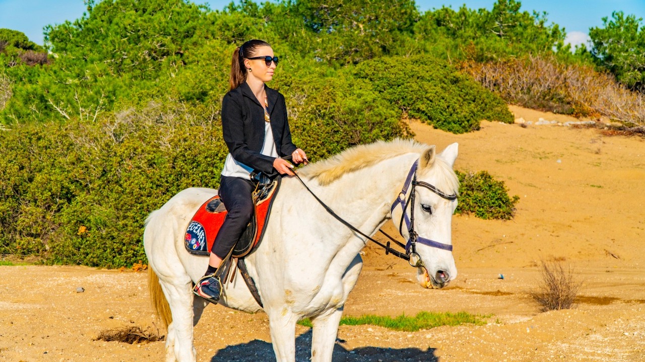
Horse Riding Tours
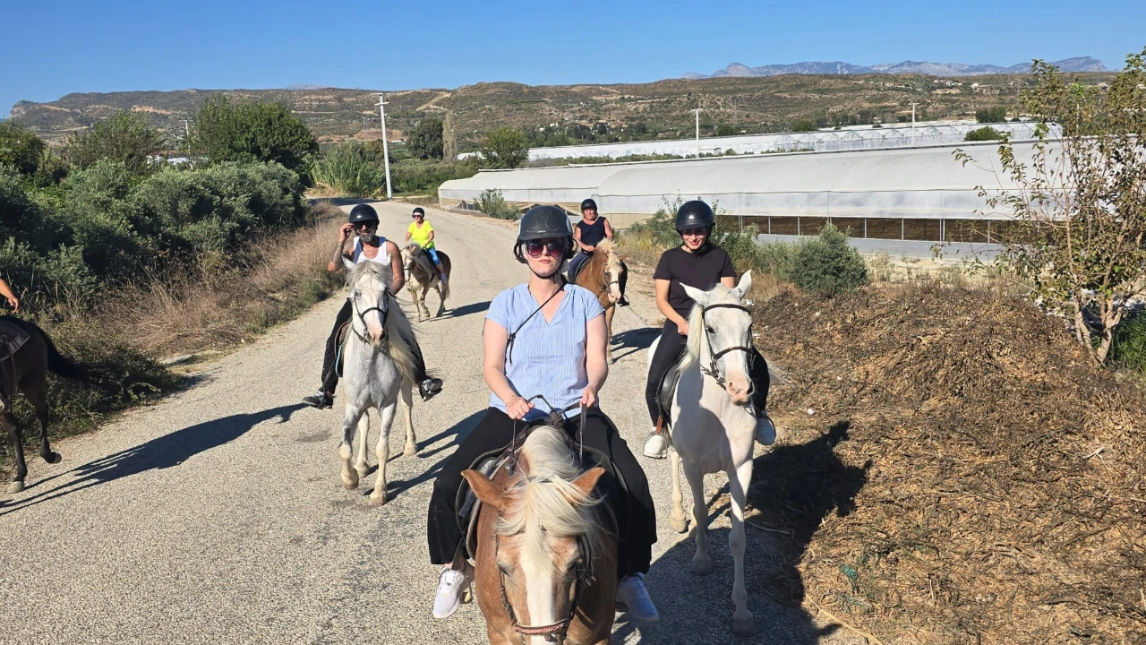
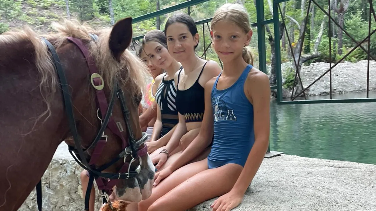
Horse riding tours operate in the pine forests on the slopes of the Taurus Mountains behind Antalya's coastal strip, around Kemer and Çamyuva, and along riverbeds near Manavgat. Trails typically last 1 to 2 hours; some start on forest roads and include river crossings, while those at coastal operators conclude the final section on the beach.
Inexperienced riders are given slow-paced, guided trails, so specifying your experience level during booking determines the pace of the program. Helmets are standard equipment; long trousers and closed-toe shoes without heels are mandatory. Age and weight limits vary by operator, so if you're participating with children or a large family, you must inquire about these two conditions during booking.
Horses' working hours are reduced during midday heat: in summer, programs are concentrated in the early morning and late afternoon, and the trail is shortened during midday. Factors determining the price include trail duration, whether hotel transfers are included, and additional services like a photo package. If you're staying in Kaş and wish to join one of these programs, you'll need to factor in an extra night in the Antalya region, as transfer services typically start from the coastal districts there.
Land Adventures: Buggy and Safari Programs
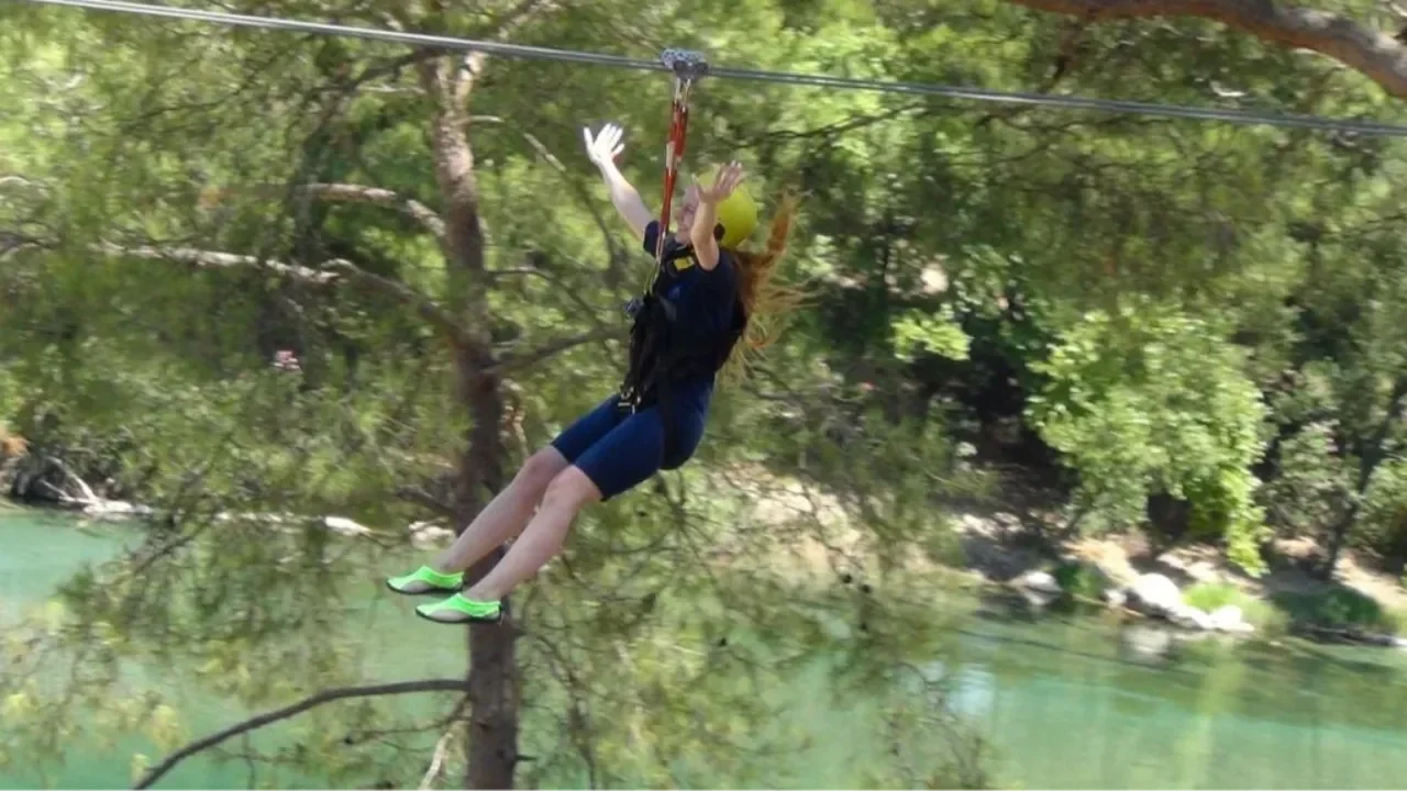
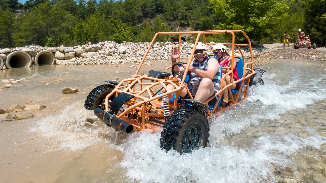
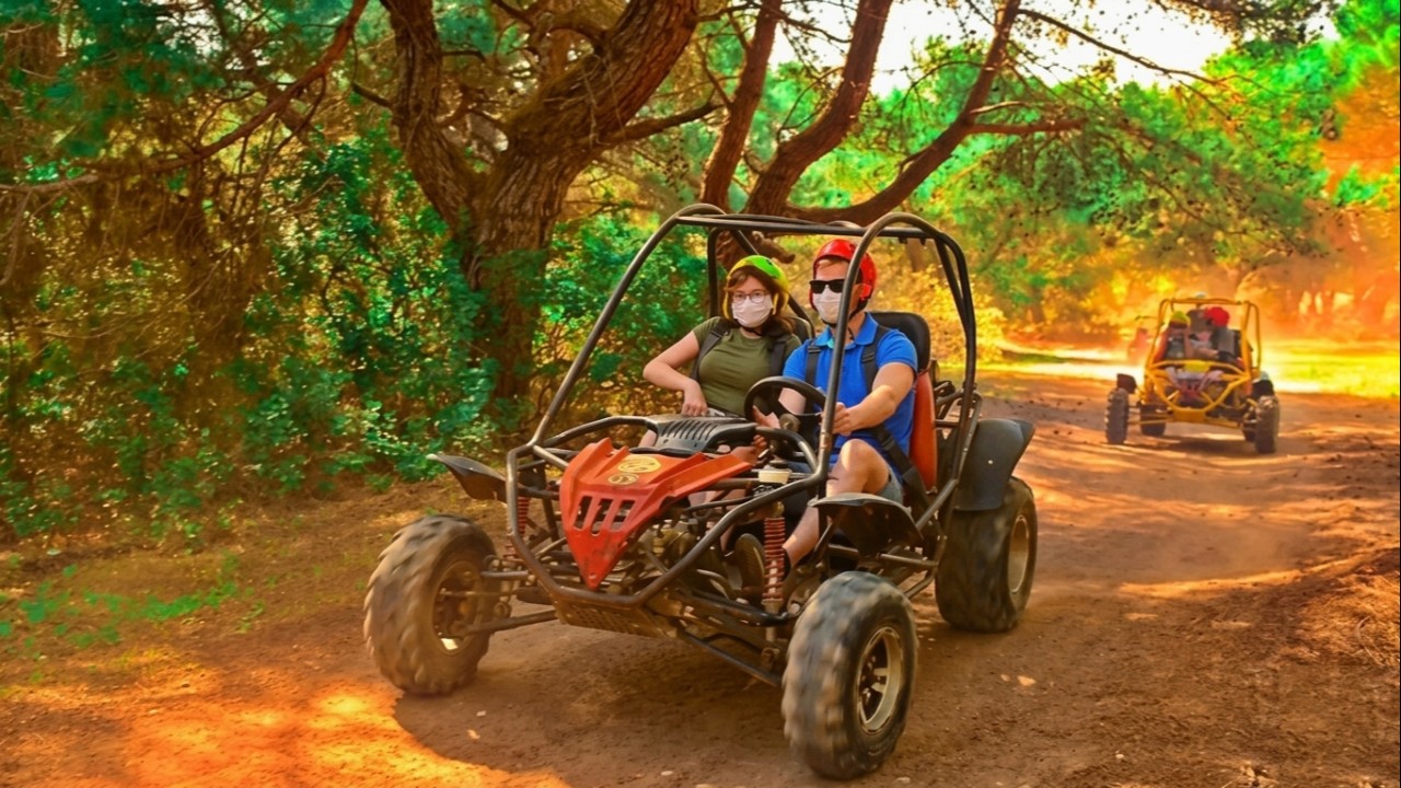
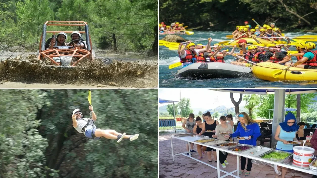
Buggy programs utilize the same dirt forest roads and dry riverbeds in the hinterland; jeep safari programs cover longer distances, heading to inland Taurus Mountain spots like Köprülü Kanyon and Dimçayı. They offer different experiences: buggy means short-distance dust and steering, while jeep safari means more driving and Kanyon breaks throughout the day.
Buggy vehicles can be single or double-seater. A driver's license is required for the person behind the wheel, and a minimum age limit applies to passengers, which varies by operator. Helmets and goggles are standard equipment, but whether they are included in the price differs by program; clarifying this item during booking can change the total cost.
Programs typically last half a day. Since the dust from the trail can get into clothes, a spare T-shirt, closed-toe shoes, and a bandana to wear under goggles make the experience more comfortable; many programs include a water fight section at the end of the trail, so a towel is also a good idea. In summer, dust intensity increases at midday, while in spring and autumn, mud can be encountered during river crossings. Factors determining the price include the number of people per vehicle, trail length, whether transfers are included, and if lunch is part of the program.


Budget Planning: Transportation and Entrance Fees
The table below outlines the budget framework for your journey, item by item: which items are paid, where the Müzekart (Turkish Museum Pass) is valid, who determines the tariff, and what factors influence the price. Since the structure is provided instead of specific figures, the table remains valid even when seasons change.
| Item | Cost Status | Factors Determining Price |
|---|---|---|
| Minibus, bus ticket | Per person fee, purchased at ticket office or on board | Season, company, drop-off point (Kalkan turn-off or Kaş center) |
| Private car fuel | Your own expense | Vehicle's consumption per 100 km, current liter price, whether you're doing a round trip |
| Rental car | Daily fee | Segment, season, insurance deductible, option for drop-off in a different city |
| Private transfer | Per vehicle fee | Number of people, luggage volume, time (night arrival makes a difference) |
| Ksanthos, Letoon, Patara entrance | Paid Ministry archaeological site, Müzekart (Turkish Museum Pass) valid | Ministry tariff, separate pricing for local and international visitors |
| Saklıkent Kanyon entrance | Paid, national park status, Müzekart (Turkish Museum Pass) not valid | General Directorate of National Parks sets foreign visitor tariff, Seydikemer Municipality sets local visitor tariff; parking and water shoe rental calculated separately |
| Tlos ancient city entrance | Paid Ministry archaeological site, ticketed separately from Kanyon | Ministry tariff, separate pricing for local and international visitors |
| Kaputaş Plajı | Paid, Kaş Municipality operation, Müzekart (Turkish Museum Pass) not valid | Seasonal tariff approved by municipal council; sun loungers and umbrellas separate from entrance fee, per item |
| Day boat tour | Per person fee | Route length, whether lunch is included, boat standard |
| Blue cruise, gulet | Per person per night fee | Cabin type, how many meals are included in the board, port fees, season |
The per-person cost ranking generally works as follows: minibuses are the most affordable, a crowded private car sharing fuel costs comes close, while rental cars and private transfers represent higher expenses. An effective way to reduce your budget is to use minibuses for transportation, utilize the Müzekart (Turkish Museum Pass) at Ministry archaeological sites, and eat lunch at village restaurants along the way. Remember that the Müzekart is not valid at Saklıkent and Kaputaş: these two stops mean separate entries in your budget. For groups of four or more, a rental car's per-person cost approaches that of a minibus and allows you to add stops along the way.
Practical Tips Before Your Journey
Here are details a seasoned traveler would pack and plan for this route:
- Water shoes: Useful for walking in Saklıkent and on the pebbly surfaces of Kaputaş and Kalkan.
- Small change and cash: Some village restaurants, parking lots, and sun lounger rentals might not accept cards.
- Müzekart (Turkish Museum Pass): Valid at Ksanthos, Letoon, Patara, and Tlos; not valid at Saklıkent Kanyon or Kaputaş Plajı.
- Hat and high-factor sunscreen: Shaded areas are limited at Ksanthos, Letoon, and Patara.
- More than half a tank of fuel: Distances between petrol stations increase in the hillside section after Kalkan.
- Return service time note: If you're getting off at an intermediate stop, ask the driver for the last service time in the evening and make a note.
- Light fleece or windbreaker: Evening coolness is noticeable on the coast in April, October, and November.
What to Eat Along the Way?
In Fethiye, the Fethiye Fish Market within the Paspatur bazaar operates on a system where you choose your fish from a stall and have it cooked at surrounding restaurants; the service charge is separate from the fish price, and it's wise to ask before sitting down. The regional dish of Muğla cuisine, çökertme kebab, along with Aegean greens like fennel and wild radish, are widely available.
Along the route, the trout and gözleme (Turkish flatbread) restaurants set up by the Eşen River at the Saklıkent turn-off offer a practical stop for lunch. In Kalkan, the area around the pier and the terraced restaurants on the hillside are popular for dinner, while in Gelemiş village, guesthouse breakfasts feature local products. In Kaş, the establishments lining Uzun Çarşı focus on seafood and mezes; Antalya cuisine's tahini piyaz (bean salad) appears on menus here. It's also possible to make cuisine the main focus of your trip: programs under the gastronomy organization tours heading treat food not as a stop, but as the route itself.
Accommodation Areas in Fethiye, Kalkan, and Kaş
- Fethiye: Çalış Plajı offers a long sandy beach and sunsets, Karagözler is quiet and close to the marina, Ölüdeniz and Hisarönü are lively.
- Kalkan: Hillside stone house boutique hotels offer views, but steep streets make carrying luggage difficult.
- Patara and Gelemiş: Small-scale guesthouses, close to the beach, quiet evenings.
- Kaş center: Within walking distance of the bus station and Uzun Çarşı, functional for those without a car.
- Çukurbağ Peninsula: Boutique hotels and sunset views, requires a car or taxi for access to the center.
Summary and Route Suggestion
When traveling from Fethiye to Kaş, the decision isn't really about the duration, but about how many stops you want to make along the way. If your goal is simply to get there, a minibus completes the journey in 2 to 2.5 hours and is budget-friendly. If you plan to include Ksanthos, Letoon, Patara, Kalkan, and Kaputaş in your itinerary, the flexibility of a car becomes crucial; splitting this route into two days and staying overnight in Patara or Kalkan makes for a more relaxed pace.
A suggested itinerary: Day one, depart Fethiye, visit Saklıkent and Tlos, then overnight in Patara or Kalkan. Day two, morning visit to Ksanthos and Letoon, afternoon stop at Kaputaş, and arrival in Kaş. Day three, explore Kaş center and take a Kekova boat tour. Those preferring to hike can cover the same route via the Lycian Way stages in 8 to 10 days, while those wanting to explore the sea side can take a blue cruise over 3 to 4 days. To change the focus of your activities or compare alternatives in the region, the regional tour programs list makes comparison easy.
Frequently Asked Questions 11
How long does it take to travel from Fethiye to Kaş?
A non-stop drive by private car takes approximately 2 hours. Minibuses, which operate along the coastal route and make intermediate stops, take between 2 to 2.5 hours. If you plan to visit stops along the way like Saklıkent, Ksanthos, Letoon, Patara, Kalkan, and Kaputaş, the same distance can extend to 4 to 6 hours. Splitting the route into two days with an overnight stay in Patara or Kalkan offers a more relaxed pace.
Is there a ferry or boat service between Fethiye and Kaş?
There is no scheduled passenger ferry or boat service. Sea travel is possible through blue cruise programs offered by gulets; the classic format departs from Fethiye, lasts 3 nights and 4 days, and extends towards Kaş or Olympos. The gulet season generally runs from April to October. Therefore, a boat serves as part of the route itself, not as a direct means of transportation between the two points.
Are there night bus services between Fethiye and Kaş?
Services along the coastal route primarily operate during the day. In the summer season, it becomes difficult to find services after late afternoon, and in winter, the last service is scheduled earlier. If a night arrival is necessary, a private transfer would be required. For those arriving at Dalaman or Antalya by an evening flight, staying overnight in a city center near the airport offers a more comfortable start than planning a late-night arrival in Kaş.
Is there an entrance fee for Kaputaş Plajı?
Yes, there is an entrance fee. The beach is operated by the Kaş Municipality Directorate of Operations and Affiliates, and the entrance tariff is determined by the municipal council's decision each season. Since this is not an archaeological site managed by the Ministry, the Müzekart (Turkish Museum Pass) is not valid here. Sun loungers and umbrellas are separate from the entrance fee, calculated per item. The current amount will be displayed on the tariff board at the entrance.
Is the Müzekart (Turkish Museum Pass) valid at Saklıkent Kanyon?
No, it is not valid. The Kanyon is located within the borders of Saklıkent National Park and does not have the status of a Ministry archaeological site. The tariff is determined by a dual structure: the General Directorate of National Parks sets the fee for foreign visitors, and Seydikemer Municipality sets the fee for local visitors. The Tlos ancient city, located at the same turn-off, is ticketed separately as an archaeological site, meaning these two stops represent two separate entries in your budget.
How many days does it take to hike the Lycian Way from Fethiye to Kaş?
The section between Fethiye and Kaş can be hiked in stages over 8 to 10 days. The entire route, for those walking at a pace of 15-20 kilometers daily, generally takes between 25 to 30 days. Those looking for a shorter experience can choose one or two-day stages like Ovacık-Faralya or Patara-Kalkan. Spring and autumn months offer more suitable temperatures and reliable water sources.
Where does the Lycian Way start and end?
The Lycian Way starts from Ovacık, near Fethiye, and ends in the Geyikbayırı and Hisarçandır regions near Antalya. Its total length is generally given as approximately 540 kilometers; due to variants added over the years, measurements between 500 and 560 kilometers are seen in sources. The trail was marked in 1999 and is followed by red and white blazes.
Can the Lycian Way be hiked without a guide?
Yes, it can. The trail is marked, stage descriptions are published, and hikers can navigate independently using guidebooks or phone applications. However, it is known that some sections of the markings are worn, water points are sparse between stages, and mobile phone reception can be poor. If hiking independently, it's essential to arrange accommodation at the end of stages in advance, increase your water carrying capacity, and use an offline map.
What places are visited on a Lycian tour?
A classic itinerary typically starts with Fethiye and Ölüdeniz, followed by Saklıkent Kanyon and Tlos, Ksanthos and Letoon, Patara, Kalkan and Kaputaş, and Kaş center. Continuing east, it includes Kekova and Simena, Myra rock tombs and St. Nicholas Church in Demre, and at the easternmost end, Olympos and Çıralı. Depending on the program's length, these stops are spread over 3 to 7 days.
What should I look for when choosing a Lycian tour?
Two programs sold under the same name can differ in these aspects: how many archaeological site entries are included in the price, daily driving time, where accommodation is provided, group size, and the languages spoken by the guide. If you're not arranging your own transportation, it's also important to ask where transfers start from, as departure points for coastal programs can vary.
How do I get from Kaş to Meis Island?
A passenger ferry operates from Kaş harbor to the Greek island of Meis (Kastellorizo), with the crossing taking about half an hour. A passport and a valid visa (if required) are necessary; the ferry schedule varies by season and becomes less frequent in winter months. Those planning a day trip should confirm the last return service time with the agency on the same day.