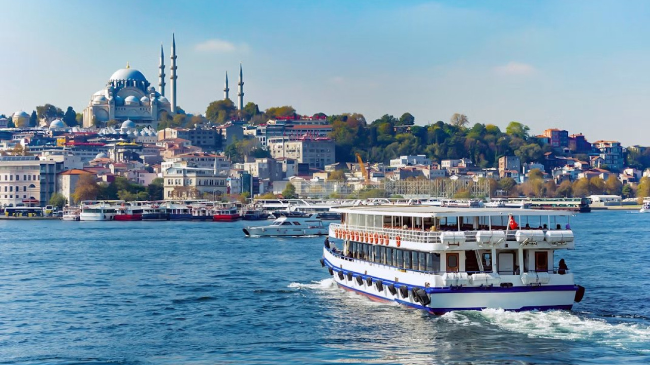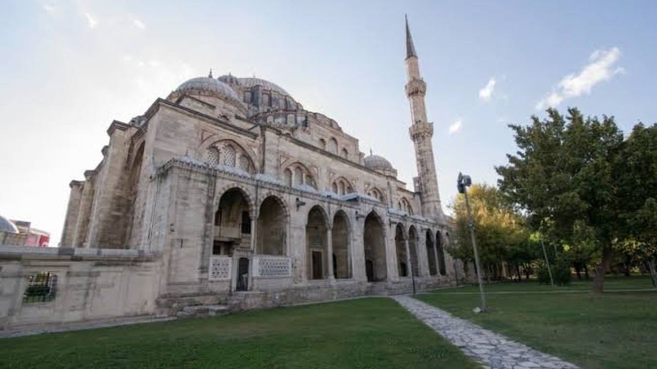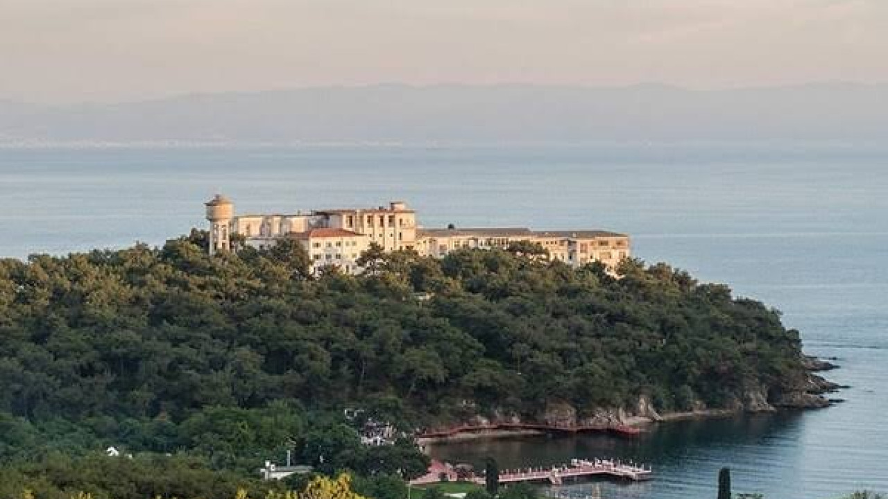
Beykoz, one of Istanbul's most established districts, is nestled where the Bosphorus meets the Black Sea, a unique landscape where forests and water basins intertwine. Within this district lies Ortaçeşme, a neighborhood that is more than just a residential area, boasting deep historical roots, distinctive architecture, and strong community ties. It's a place where centuries of cultural interaction, Ottoman-era water architecture, and modern urbanization efforts seamlessly blend. In this article, we'll delve into Ortaçeşme, exploring its historical evolution, architectural character, social life, and transportation links.
Quick Facts
| Category | Information |
|---|---|
| Location | Istanbul, Beykoz, Anatolian Side |
| Coordinates | 41°08′41″N, 29°05′36″E |
| Area | 0.83 km² |
| Population (2024) | 7,754 people |
| Postal Code | 34825 |
| Phone Area Code | 216 |
| Neighboring Districts | Tokatköy, Çamlıbahçe, Yalıköy, Akbaba, Merkez |
| Neighborhood Character | Horizontal development, narrow and sloping streets, fountain culture |
| Transportation | Connections to Üsküdar, Kadıköy, Kavacık, Ümraniye, and Mecidiyeköy via Ortaçeşme stop |
| Population Density | Approximately 9,300 people per square kilometer |
Ortaçeşme's Historical Development and Its Place in Beykoz's Identity
Beykoz has been a preferred settlement area since ancient times. The first colonial settlements in the region are believed to have emerged between 750-550 BC, chosen by Thracians arriving by sea from the north due to its sheltered location. The region passed from Byzantine rule to the Genoese in 1348, and then to Ottoman administration in 1402. In the 15th century, with the establishment of Tokat Köşkü (Tokat Mansion), Tokat Bahçesi (Tokat Garden), and Beykoz Çayırı (Beykoz Meadow), the area transformed into an important hunting and recreational ground.
Ortaçeşme is situated along this settlement line, extending from the Bosphorus coast into the inner valleys. It developed as one of Beykoz's inland neighborhoods, which stood out as both a summer resort and a production center during the Ottoman era. Its relationship with the Beykoz Çayırı, Tokat Deresi (Tokat Stream), and Hünkâr İskelesi (Hünkâr Pier) line shaped the neighborhood's character. The Beykoz Leather and Shoe Factory and Beykoz Broadcloth Factory, located along the same line, reflected the district's industrial past and influenced population movements in the area.
What is the Ancient Name of Beykoz?
The prevailing view regarding the origin of the name Beykoz suggests that the region's earliest known name was Amnikos, derived from the name of Bithynian King Amykos. Over time, this name evolved into its current form. Evliya Çelebi, who traveled through the region in the 17th century, described Beykoz as a town of 800 houses, with vineyards and gardens, situated on the shore of a large harbor. His accounts also indicate the significant role of fishing and fish traps (dalyans) in the region.
The Origin of the Name Ortaçeşme and its Fountain Culture
The neighborhood's name, Ortaçeşme (meaning "Middle Fountain"), is said to come from the historic public fountains located in the center of the settlement. As Beykoz is situated in the basin where Istanbul's water sources gather, fountain architecture is an integral part of the district's identity. The most magnificent example of this tradition in the district, within walking distance of Ortaçeşme, is the İshak Ağa Fountain in Beykoz center. Also known as Onçeşmeler (Ten Fountains), the structure acquired its current form after extensive renovations commissioned by Customs Administrator İshak Ağa in 1746. It stands out with its wide-eaved roof supported by eight marble columns arranged in three rows, measuring approximately 6 meters wide and 8 meters long; ten bronze spouts continuously flow with water from its front facade.
Ortaçeşme's Architectural Fabric and Urban Analysis
Walking through the streets of Ortaçeşme, you encounter a fabric that blends traces of the past with the rhythm of today's city. The neighborhood maintains a residential character that favors horizontal development over vertical architecture. Although traditional wooden houses have gradually been replaced by concrete structures, the narrow streets and courtyard gardens surrounding the main arteries evoke the scale of the old neighborhood.
Horizontal Urban Fabric and Street Scale
Ortaçeşme's topography is a direct determinant of its neighborhood fabric. The sloping streets, climbing from the valley floor towards the hills, have led to the division of building blocks into smaller parcels. While this structure facilitates the continuation of neighborly relations, it also makes transportation challenging for those living on steep slopes. Among the issues raised by residents at municipal meetings are the need for improved access on steep streets, street lighting, and the condition of streets lacking rainwater drainage channels.
Traces of Water Architecture and Public Spaces
Historic fountains are among the defining elements of the neighborhood's fabric. These structures served not only to meet water needs but also as gathering points where residents came together. Today, some of these fountains have been restored and preserved; however, for the continuity of the fabric, it is important to consider the surrounding squares and street arrangements in conjunction with them. The area extending from Beykoz Çayırı was used for many years as a public space where a market was set up one day a week; as the meadow and its immediate surroundings have undergone extensive renovation in recent years, it would be wise to confirm its current usage before your visit.
Ortaçeşme in Numbers: Population, Area, and Density
Ortaçeşme is one of Beykoz's compact neighborhoods, covering an area of 0.83 square kilometers. As of 2024, 7,754 people reside in the neighborhood. When these two values are calculated together, they reveal a density of approximately 9,300 people per square kilometer, indicating that the neighborhood, despite its horizontal layout, accommodates a settled population. Looking at the trend since 2007, a gradual decrease in population is noticeable.
| Year | Population | Trend |
|---|---|---|
| 2007 | 8,595 | Peak Value for the Period |
| 2012 | 8,325 | Gradual Decrease |
| 2017 | 8,065 | Decrease Continues |
| 2022 | 7,887 | Short-term Increase |
| 2024 | 7,754 | Stable Trend |
This table's trend aligns with an issue raised by the Beykoz Mayor during neighborhood meetings: uncertainties regarding zoning and property ownership, coupled with a limited supply of new housing, are seen as factors influencing the younger population to move to surrounding districts like Üsküdar, Ümraniye, Çekmeköy, and Sultanbeyli. The same uncertainty presents a limited housing stock for those seeking apartments for sale or houses for rent in the area; therefore, real estate activity in Ortaçeşme is closely tied to the district's overall zoning process.
Social and Cultural Life: How Life Flows in Ortaçeşme?
Ortaçeşme is one of Beykoz's lively neighborhoods. The day begins with local bakeries and bazaar shopkeepers opening early. The bazaar serves as a backbone, both preserving traditional artisan culture and meeting daily needs. Cultural depth extends from neighborhood coffee houses to local sports clubs like Ortaçeşmespor, from solidarity networks formed around the headman's office to gatherings in mosque courtyards. The Ortaçeşme Merkez Camii (Ortaçeşme Central Mosque) is one of the focal points of the daily rhythm.
The Bazaar, Market, and Neighborhood Bonds
The Ortaçeşme Market has been a neighborhood tradition, featured in photo archives since the 1970s. Market days offer an excellent opportunity for visitors to experience the neighborhood's vibrant scale. Here are some notable aspects you'll observe while walking through the neighborhood:
- The sloping street layout extending from the valley floor to the hills, and the courtyard-style houses along these streets.
- Small squares formed around restored fountains and water structures.
- Long-standing artisan businesses and bakeries in the neighborhood bazaar.
- The green corridor and walking paths opening towards Beykoz Çayırı.
Lieutenant Colonel Yukichi Tsumura Street
One of the neighborhood's most unique features is a street named after a historical bond between Turkey and Japan. The road formerly known as Spor Caddesi (Sports Street) in Ortaçeşme was renamed Lieutenant Colonel Yukichi Tsumura Street in 2019 by a council decision. Lieutenant Colonel Tsumura was the commander of the ship Heimei Maru, which carried 1,012 Turkish soldiers captured by Russia during World War I; en route, he refused to hand over the prisoners to a Greek warship that stopped them. The prisoners set sail on February 23, 1921, and after a long journey with multiple stops, reached Istanbul on June 25, 1922. Today, this street serves as a point of interest that draws visitors from Japan to Beykoz.
Beykoz's Elite Districts and Ortaçeşme's Position
When one thinks of Beykoz, the first prestigious districts that come to mind are usually the settlements lining the Bosphorus shore. Kanlıca, located opposite Emirgan and between Anadoluhisarı and Çubuklu, is known for its waterfront mansions (yalı) and the Mihrabad Grove. Anadoluhisarı stands out with its historical fabric on the Anatolian side of the Bosphorus. Çubuklu and Paşabahçe are considered valuable settlements in the district due to their connection with groves and the coastline.
Where Does Ortaçeşme Fit into This Picture?
Unlike these coastal districts, Ortaçeşme is situated in the inner residential belt, directly behind the Beykoz center. This location offers the neighborhood a dual advantage: it remains within walking distance of the Bosphorus line and the historical structures in the center, while offering a calmer daily rhythm compared to the coastal districts. Its proximity to the Yavuz Sultan Selim Bridge connection roads and the Kavacık junction also adds to the neighborhood's value in terms of transportation.
Which Historical Sites Are There in Beykoz?
When visiting Ortaçeşme, it's possible to explore Beykoz's historical backbone within half a day. The table below outlines a short itinerary starting from the neighborhood.
| Stop | Location | Key Feature |
|---|---|---|
| İshak Ağa Fountain (Onçeşmeler) | Beykoz center, Gümüşsuyu | Monumental fountain with ten spouts, renovated in 1746 |
| Beykoz Çayırı | Tokat Deresi valley | Historic recreational area, tree-lined paths (recently redeveloped) |
| Hünkâr İskelesi | Bosphorus shore | Point where Tokat Deresi flows into the Bosphorus |
| Beykoz Leather and Shoe Factory | Hünkâr İskelesi area | Industrial heritage dating back to the early 19th century |
| Yalıköy's Urban Fabric | North of Beykoz center | Traces of 18th-19th century grid-plan settlement |
| Ortaçeşme Merkez Camii | Ortaçeşme | Neighborhood-scale place of worship and gathering point |
For visitors who wish to explore Ortaçeşme's fountain architecture and the structures in Beykoz center with a guide, Istanbul cultural tour programs offer a suitable starting point. Those looking to extend their day beyond Beykoz's borders and connect with the city's historical core can consider Istanbul historical city tours that align with their interests.
How to Get to Ortaçeşme?
Ortaçeşme is easily accessible by public transport thanks to its proximity to Beykoz center. The Ortaçeşme stop in the neighborhood is a common point for many intra-district and inter-district lines. As of summer 2026, here's a practical route you can follow:
- Via Üsküdar: From Üsküdar square, take bus line 15 heading towards Beykoz and get off at the Ortaçeşme stop. This is the most direct connection for visitors arriving in Üsküdar via Marmaray or ferry.
- Via Kadıköy: Use bus line 15BK, which operates between Kadıköy and Beykoz; this line connects to the Ortaçeşme stop via Beykoz center.
- From Anatolian Side Inner Lines: If you're coming from Ümraniye, you can choose line 11H, or line 20 if you're transferring at Kavacık. Those coming from the European side can reach Beykoz via bus line 121A from Mecidiyeköy.
- By Private Car: Follow the direction of Beykoz center via the Yavuz Sultan Selim Bridge and Kavacık junction, then turn towards Ortaçeşme. Parking can be limited on the steep streets, so leaving your car around the bazaar area is a practical solution.
When planning your visit, these tips will make your trip easier:
- Choose comfortable, non-slip footwear for walking; a significant portion of the streets are sloped.
- If you time your visit to coincide with market days, you'll experience neighborhood life at its most vibrant.
- Planning your walk through Beykoz Çayırı for the morning hours offers advantages in terms of both coolness and light; check the route beforehand due to ongoing renovations in the area.
- When taking photos, be mindful of the privacy of residential courtyards and ask for permission for close-up shots.
If you plan to complete your Ortaçeşme walk in half a day and dedicate the remaining hours to other stops along the Bosphorus, you can choose from Istanbul day cultural tour programs that combine multiple points in a single day, matching your pace.
The Balance Between Historical Fabric and Urban Transformation
In areas with historical depth like Ortaçeşme, urban transformation is a delicate balancing act. On one hand, there's the need for safe and up-to-date housing standards, and on the other, the imperative to preserve the neighborhood's unique character. A significant portion of urban transformation projects in Beykoz have been carried out in Ortaçeşme's northern neighbor, Tokatköy; during this process, inter-institutional protocols and sharing ratios were subjects of long-standing debate.
Local Government Projects and the Future of the Neighborhood
Steps taken at the neighborhood level are geared towards increasing social amenities. It was announced during municipal neighborhood meetings that Beykoz's first retirees' club and a daycare center would open in Ortaçeşme; a coffee shop for retirees and a local coffee business were planned for the neighborhood square. For the transportation problem in the Hünkartepe area, it was decided to provide shuttle services until a permanent solution is found. These items were noted at the announcement stage; it is advisable to confirm which ones have been implemented through the local headman's office or the municipality. Such small-scale interventions, unlike large-scale transformation projects, have the potential to improve daily life without disrupting the neighborhood's fabric.
Ortaçeşme is a settlement that carries the traces of the past into the present, holds a story in every street, and represents the living culture of Beykoz's inner regions. With its historical fabric, social structure, and geographical location, it maintains a relatively balanced trajectory amidst Istanbul's rapidly changing skyline. The preservation and development of the neighborhood are not only a matter for its local residents but also for the city's historical memory.
Frequently Asked Questions 7
What is the origin of the name Ortaçeşme?
The name Ortaçeşme, meaning 'Middle Fountain,' is said to come from the historic fountains located in the center of the settlement, which supplied water to the public. As Beykoz is situated in a basin rich with Istanbul's water sources, fountain architecture has become a strong tradition throughout the district.
What is the ancient name of Beykoz?
According to popular belief, the region's earliest known name was Amnikos, derived from the name of Bithynian King Amykos. It is believed that the name Beykoz evolved from Amnikos over time.
Which are the elite districts of Beykoz?
Beykoz's prestigious districts are typically the settlements along the Bosphorus shore. Kanlıca, Anadoluhisarı, Çubuklu, and Paşabahçe stand out in this group. Kanlıca, located opposite Emirgan, is known for its historic waterfront mansions (yalı) and the Mihrabad Grove.
Which neighborhoods are in Beykoz?
Ortaçeşme's neighbors include Tokatköy to the north, Çamlıbahçe to the west, Yalıköy and Akbaba to the east, and Merkez to the southeast. Well-known Bosphorus-side settlements in the district include Kanlıca, Anadoluhisarı, Çubuklu, Paşabahçe, and Gümüşsuyu.
How many people live in Ortaçeşme?
As of 2024, Ortaçeşme has a population of 7,754 people. The neighborhood covers an area of 0.83 square kilometers, and its population has gradually decreased since 2007.
How can I get to Ortaçeşme?
You can reach the Ortaçeşme stop by taking bus line 15 from Üsküdar, 15BK from Kadıköy, 11H or 20 from Ümraniye, and 121A from Mecidiyeköy. Those arriving by private car can follow the direction of Beykoz center via the Yavuz Sultan Selim Bridge and Kavacık junction.
Which historical sites are there in Beykoz?
Prominent heritage sites in Beykoz include the ten-spouted İshak Ağa Fountain, restored in 1746; the historic Beykoz Meadow recreational area; the Hünkâr Pier area; the Beykoz Leather and Shoe Factory; and the 18th-19th century urban fabric of Yalıköy.