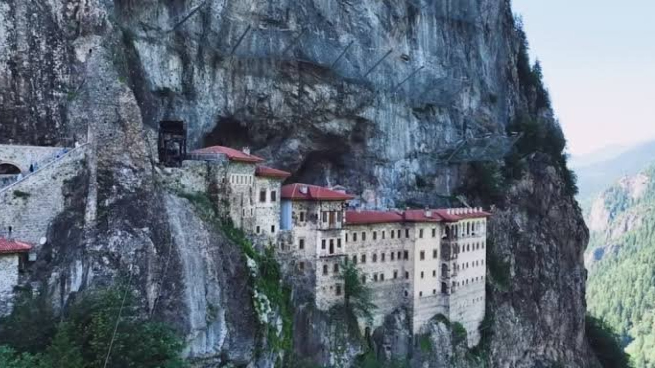

The mist-shrouded peaks and lush, emerald forests of the Eastern Black Sea region create one of Turkey's most captivating landscapes for hiking and trekking enthusiasts. Nestled within the Maçka district of Trabzon, the Altındere Valley National Park offers a breathtaking route characterized by the historic Sümela Monastery, perched precariously on steep cliffs, and the rhythmic sound of cascading mountain streams. In this deep valley, where spruce and fir trees reach toward the sky, you can feel the raw, generous spirit of the Black Sea wilderness with every step.
From the valley floor to the rugged slopes, these trails provide more than just physical exercise; they offer a chance to cleanse your lungs with crisp mountain air. When the region's famous fog rolls in, the silhouette of the monastery transforms into something out of a fairy tale. This comprehensive guide covers the various hiking stages of Altındere Valley, difficulty levels, gear requirements, and essential tips to ensure a safe and rewarding journey.
Quick Facts: Altındere Valley & Sümela Trails
The hiking paths within the Altındere Valley National Park are perfectly equipped for day trips of moderate difficulty. The designated trails feature wooden bridges, designated rest areas, and informative signage. The following summary table provides the technical parameters for your trek.
| Feature | Visitor Quick Summary |
|---|---|
| Location & Park Area | Trabzon / Maçka, Altındere Valley National Park |
| Trail Length & Duration | 7 to 12 km stages; average 3.5 to 5 hours of hiking |
| Elevation Gain & Slope | Ascent from 800m (valley floor) to 1,250m (monastery base) |
| Terrain & Path Type | Forest soil, stone steps, and root-crossed paths |
| Best Time to Visit | May to October; autumn is peak for vibrant foliage |
| Suitability | Hikers, trekking enthusiasts, photographers, and active travelers |
To protect the local ecosystem and avoid slippery precipices, it is crucial to stay on the marked paths. Most treks begin at the valley floor and conclude either at the monastery gates or the scenic observation deck.
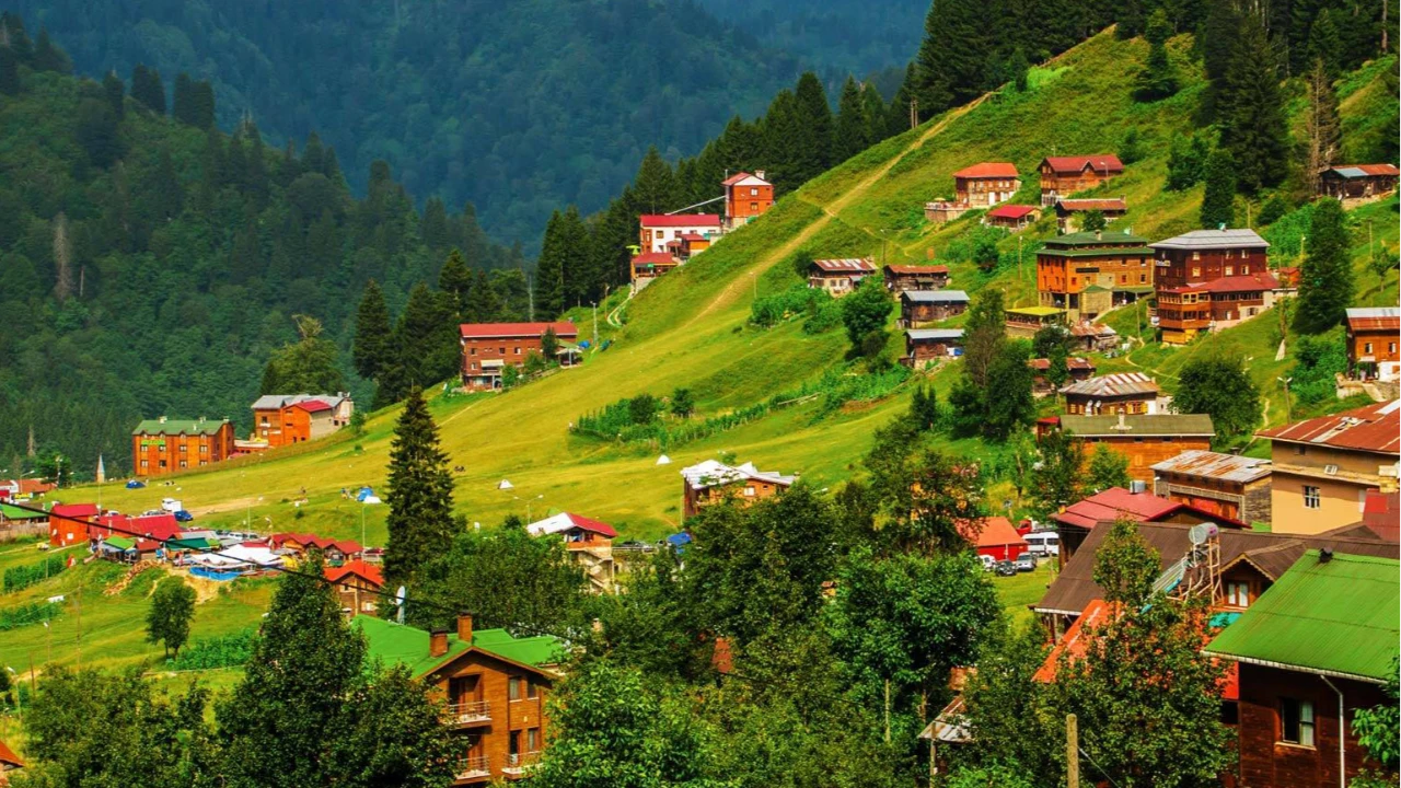
Highlighted Hiking Stages Along Altındere Valley
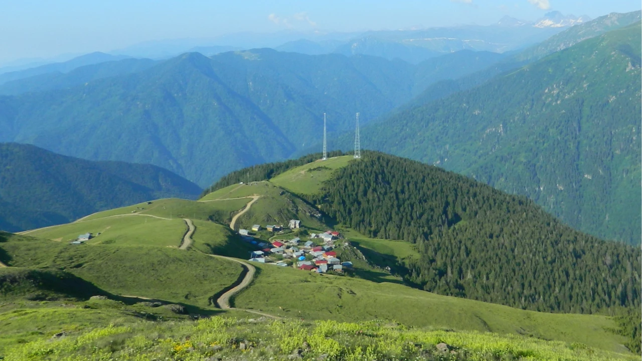
Altındere Valley offers a tiered hiking experience, beginning with the energetic flow of the river and ascending into the depths of misty pine forests. The changing vegetation as you gain altitude makes the journey incredibly dynamic.
For trekking lovers, these routes are designed to lighten your steps with the refreshing sound of flowing water.
The Riverside Path along Meryem Ana Stream
Starting from the national park entrance and following the riverbank, this stage is ideal for a gentle introduction to the hike. The dirt path winds around massive granite boulders carved by the water, connected by charming wooden bridges. The cool mist and spray from the stream provide a refreshing energy boost to hikers.
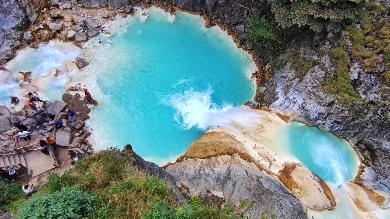
Small waterfalls and natural plunge pools along the riverbank offer perfect opportunities for nature photographers to capture stunning long-exposure shots. As the ground is often damp here, careful footing is recommended.
The Old Path (Historic Monks' Trail) Ascent
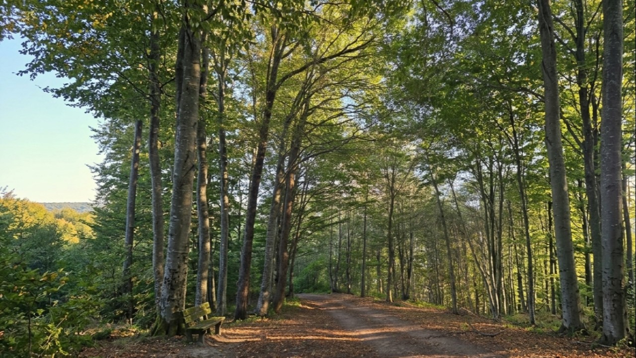
For those seeking a true trekking experience, skip the vehicle road and take the historic path used by monks for centuries to reach the monastery. This stone-stepped trail enters the forest at a steep angle, zigzagging through the dense shade of spruce trees. This section requires moderate-to-high fitness as it provides a serious workout for the leg muscles.
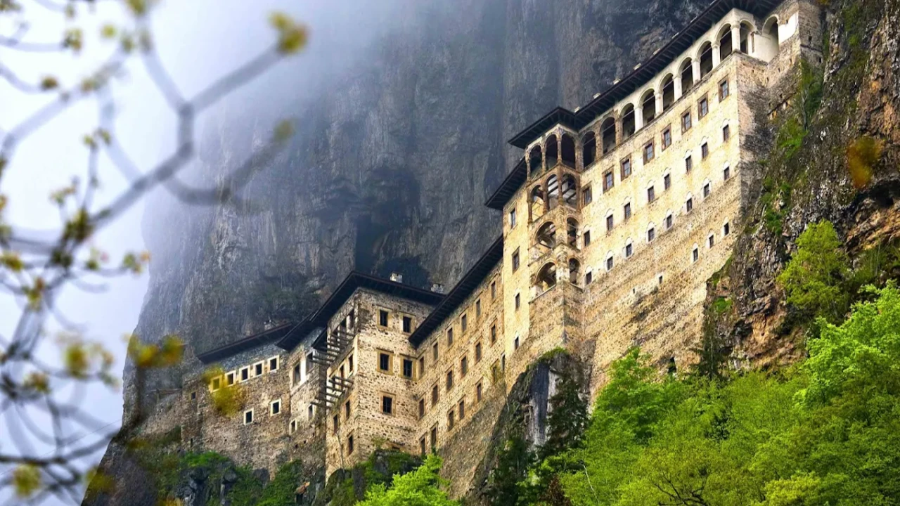
Along the way, you'll notice vibrant green moss covering ancient tree trunks and rare wild orchid species. As you near the end of the climb, the sudden reveal of Sümela Monastery clinging to the cliffside makes every drop of sweat worth it.
Aya Varvara Church and the Monastery Observation Deck
Located on the plateau just below the monastery, the historic Aya Varvara Chapel is the primary stop for hikers to catch their breath and photograph the massive rock mass of the monastery from a frontal perspective. The wooden observation deck provides the clearest view of the engineering genius required to anchor the monastery to the steep slopes of the mountain.
The shifting fog around the terrace can veil and reveal the landscape in a matter of seconds. Sipping water in this ethereal atmosphere allows you to truly feel the soul of the Black Sea.
Difficulty Comparison of Trabzon's Nature Trails
Hiking routes in and around Trabzon require different levels of physical fitness depending on elevation changes and terrain. Choosing the right trail for your group's conditioning is vital for a safe experience.
The following table compares the technical difficulty and duration of the region's most popular routes.
| Nature Trail | Total Distance | Difficulty Level | Terrain & Climate Risk |
|---|---|---|---|
| Altındere Valley River Path | 6 km | Easy - Moderate | Damp soil, low incline, low risk |
| Sümela Historic Monks' Path | 4.5 km | Moderate - Hard | Steep stone steps, slippery roots |
| Hamsiköy Summit Path | 9 km | Moderate | Wide plateau paths, sudden fog/wind |
| Vazelon Monastery Route | 7 km | Moderate - Hard | Narrow forest goat paths, rocky crossings |
| Uzungöl Karester Plateau | 11 km | Hard (High Alt) | 1,100m steep ascent, harsh winds |
Thanks to its well-maintained infrastructure and emergency exit points, the Sümela and Altındere Valley route is one of the safest trekking destinations in the region.
Essential Steps for Your Valley Trek
Being prepared is the best way to prevent mishaps when trekking in mountainous and forested terrain. Always account for the fact that weather conditions in the Black Sea mountains can change in an instant.
Follow these steps for a safe hiking day:
- Choose Ankle-Supporting Outdoor Boots: Wear waterproof boots with deep treads (lugs) to prevent ankle sprains on wet ground, mud, and exposed roots.
- Check the Weather Forecast: Consult local meteorological reports for precipitation and fog timings specifically for the Maçka and Altındere areas.
- Dress in Layers and Bring a Spare Fleece: You will warm up while hiking, but the mountain wind can be biting once you stop in shaded areas or on the monastery terrace.
- Use Trekking Poles: Use a pair of hiking poles to reduce the load on your knees during steep ascents and maintain balance during descents.
The paths along the steep slopes of Altındere Valley often feature damp, mossy stone surfaces. Therefore, sturdy, ankle-gripping footwear directly impacts your comfort and safety. In rainy weather, slowing your pace and taking balanced steps will minimize the risk of slipping.
When the Black Sea fog settles into the depths of the valley, the serenity of nature becomes even more pronounced. On the forest paths, the only sounds are the rushing water and birdsong. This peaceful environment provides a restorative escape for nature lovers looking to detox from the noise and stress of city life.
Observation decks located at various points along the valley are ideal for short breaks. We recommend carrying energy-boosting nuts and fresh fruit. To protect the valley's ecosystem, please be mindful of cleanliness and carry all waste back with you.
The Hiker's Checklist: What to Pack
Keeping your backpack light yet functional makes your steps easier during long forest treks. Carrying excess weight accelerates fatigue on inclined terrain.
We recommend the following essentials in your pack:
- A moisture-wicking spare thermal shirt and a breathable raincoat.
- High-energy snacks: hazelnuts, walnuts, dried figs, and fruit bars.
- At least 1.5 liters of clean drinking water and an isotonic sports drink.
- A small first-aid kit, adhesive bandages, a whistle, and a fully charged headlamp.
Terrain Safety and Fog Conditions in Black Sea Forests
When fog descends in Altındere Valley, visibility can drop to as little as 10 meters. For safety, it is critical not to deviate from the main path and to stay away from the steep cliff edges. We suggest wearing brightly colored jackets or raincoats so group members can easily spot one another.
Additionally, small rockfalls can occur on steep slopes following heavy rain. In such cases, avoid lingering at the base of cliffs and continue moving along the open path.
Wildlife and Nature Conservation Rules
Altındere Valley National Park is home to roe deer, wild goats, foxes, and a rich variety of birds of prey. These animals generally avoid human noise and stay away from the trails. To protect this habitat, it is mandatory to leave no trace and carry out all plastic bottles.
The natural springs within the forest, with water filtered through the mountains, are wonderful sources to refill your flasks. Ensure you only take water from clean springheads, paying attention to the flow rate.
Post-Hike Relaxation and Local Flavors around Maçka
After a spirited trek through the valley, nothing beats a bowl of hot soup and a table full of local delicacies in the villages of Maçka. The organic flavors of Black Sea cuisine are the perfect way to cap off your day.
Here are the best culinary stops after your trek:
- Hamsiköy Rice Pudding (Sütlaç): Tasting the famous oven-baked Hamsiköy sütlaç, made with rich milk from mountain cows, is an absolute classic.
- Maçka Riverside Trout Facilities: Enjoy fresh trout fried in butter with cornmeal at the wooden restaurants located along the Meryem Ana Stream.
- Coşandere Village Tea Gardens: Relax in wooden gazebos with a view of the forest, enjoying a pot of strong samovar tea.
- Vazelon Valley Outskirts: Take a gentle stroll through the quiet plateau plains with distant views of historic monastery ruins.
To explore different nature routes in Trabzon, visit our Trabzon hiking and nature tours page. If you prefer to explore the city's historic landmarks step-by-step, check out our Trabzon historic city and Hagia Sophia guide, or browse our full Trabzon tour list for all available organizations.
Frequently Asked Questions 5
Is the Altındere Valley hiking trail suitable for beginners?
The lower stages along the river are very suitable for beginners and families; however, the climb up the historic monks' path requires a moderate level of fitness.
How long does it take to walk to Sümela Monastery instead of taking a vehicle?
Climbing from the national park parking lot to the monastery gates via the historic monks' path takes between 40 to 60 minutes, depending on your pace.
Is there any danger from wild animals during the hike?
No. Because the routes are heavily used by national park staff and visitors, wild animals generally keep their distance from the paths.
Is a ticket or Museum Pass required for the national park?
A nature conservation fee (vehicle/pedestrian) is collected at the entrance to the national park; to visit the interior of Sümela Monastery, a T.C. Ministry of Culture Museum Pass is required.
Can you hike the Sümela trails on rainy days?
Hiking is possible during light rain; however, during heavy downpours, stone steps become slippery, so the use of trekking poles is highly recommended.