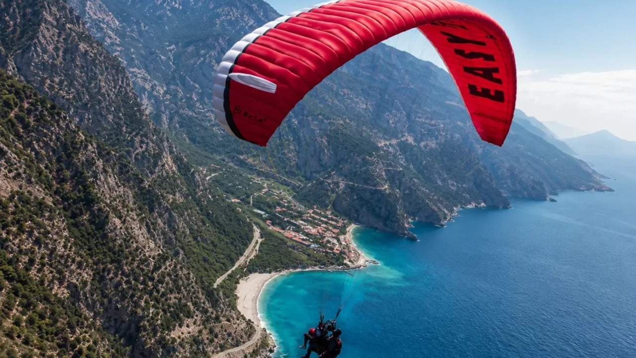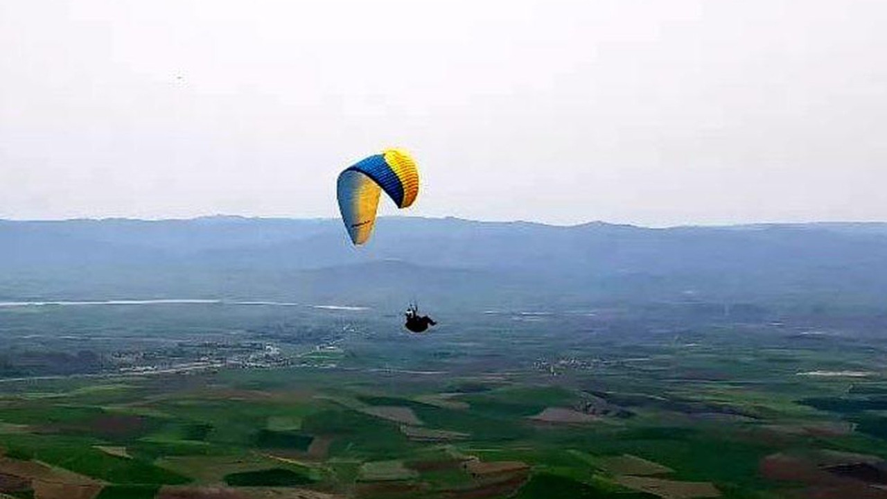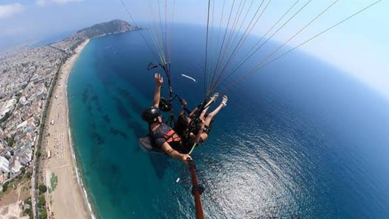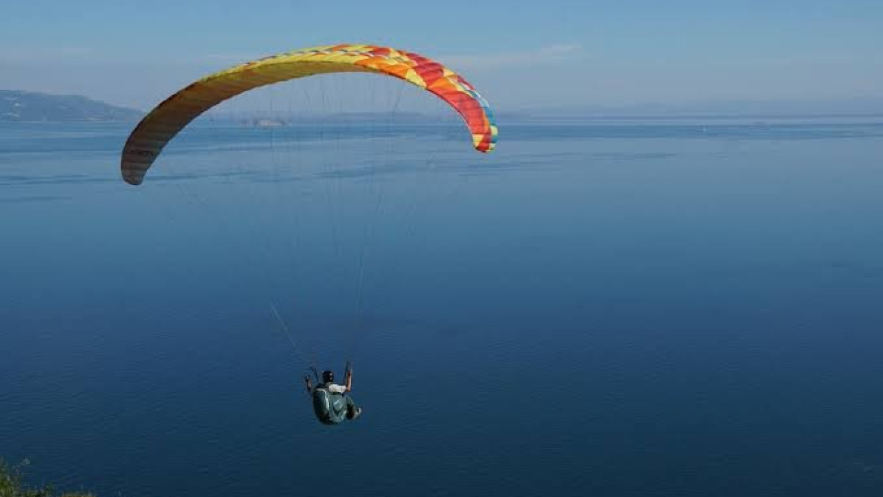

Paragliding is not a freefall; it is the art of aerodynamic gliding. By leveraging the lift created as wind hits a slope and the thermal currents generated by rising warm air, a pilot can remain airborne for minutes or even hours without an engine. While Çorum remained a hidden gem for years, it has recently emerged as one of the premier flight destinations in Northern Central Anatolia. Whether you are a seasoned pilot planning a trip to the Çorum mountains or a first-timer preparing for your first tandem experience, this guide covers everything from regional flight dynamics and current regulations to equipment standards and essential pre-flight checklists.
Quick Facts
| Feature | Details |
|---|---|
| Primary Flight Spot | Tekke Dağı, Oğuzlar District |
| Site Altitude | 1,450 meters |
| Scenic Highlight | Obruk Dam on the Kızılırmak River |
| Certification | Registered with the Turkish Air Sports Federation |
| Distance from Çorum Center | Approx. 57 kilometers |
| Distance from Oğuzlar to Dam | Approx. 13 kilometers |
| Event Calendar | Oğuzlar Paragliding Festival (Summer; dates vary annually) |
| Flight Type | Tandem and Solo, non-motorized |
| Passenger Requirements | Ankle-support sneakers, windbreaker, pilot briefing |
| Commercial Requirements | Commercial Tandem Pilot License & insured operation |
Where to Go Paragliding in Çorum?
The flight potential of Çorum is defined by the Kızılırmak valley in the northwest. The elevation difference between the valley floor and the surrounding peaks creates a distinct air circulation throughout the day. This geographical setup makes the region ideal for both introductory tandem flights and long-distance cross-country attempts by experienced pilots.
Tekke Dağı and Official Site Certification
The crown jewel of the region is Tekke Dağı in the Oğuzlar district, sitting at an altitude of 1,450 meters. This slope offers a breathtaking vista overlooking the expansive Obruk Dam on the Kızılırmak River. Tekke Dağı has undergone official review and holds a flight registration certificate. This certification transforms a simple hillside into a registered flight site with defined takeoff and landing zones.
Registration is far more than a formality; it ensures that landing coordinates, wind direction windows, and site usage rules are formally documented. However, registration does not mean the site is devoid of risk, it simply means the rules are defined. The responsibility for applying those rules safely rests solely with the pilot.
The annual Oğuzlar Paragliding Festival, held during the summer, has been the primary catalyst for putting this site on the map. In 2025, the second edition of the festival attracted 85 paragliders from twenty different provinces. Since the festival dates are not fixed to a specific week, it is essential to confirm the calendar before planning your visit. Such events are invaluable for regional safety, as they allow a diverse group of pilots to test the wind windows and turbulence behavior of the site.
The Laçin Sector and Landing Lessons
The Laçin district, surrounding the Obruk Dam, is another key point of interest. A notable incident in the region involved a pilot who realized mid-flight that their intended landing zone was unsuitable and had to divert to an alternative. This case highlights the most critical aspect of regional safety: the landing must be studied as thoroughly as the takeoff. Due to the water surface, irrigation channels, power lines, and agricultural fields, the terrain around the dam offers fewer viable landing options than it appears from the air.
Comparison of Flight Zones
| Criterion | Tekke Dağı Area | Dam Basin Flats |
|---|---|---|
| Primary Purpose | Takeoff and altitude gain | Landing and recovery |
| Terrain Character | High ridge, wide visibility | Close to valley floor |
| Primary Risk | Lee-side turbulence | Water, power lines, and wires |
| Beginner Suitability | Suitable with a briefing | Not suitable without site recon |
| Required Prep | Wind direction & thermal analysis | Landing coordinates & backup zones |

How to Get to Tekke Dağı
Logistics are a key part of your flight plan, as arrival time directly impacts your takeoff window. On days with narrow thermal windows, arriving late can mean missing your chance to fly.
- From Çorum city center, head toward the Oğuzlar district. The district is approximately 57 kilometers away and is easily accessible by road.
- Upon arriving in Oğuzlar, proceed toward the Tekke region. The final stretch to the takeoff area is a mountain road; a high-clearance vehicle or a local transfer is highly recommended.
- Once at the takeoff site, observe the wind direction and intensity before unpacking your gear. Monitoring a windsock for at least fifteen minutes helps you spot sudden shifts in direction.
- Arrange for a vehicle to be positioned at the landing area for post-flight recovery. Factor in the travel time from the takeoff point to the flats around the dam.
For visitors looking for organized experiences, check out the alternatives on our Paragliding Tours page, or consider combining your trip with other destinations via our Turkey Tours options.
Flight Dynamics in Çorum: Wind, Thermals, and Altitude
Every flight region creates its own microclimate. Unlike coastal areas driven by sea and land breezes, the interior of Çorum is governed by a thermal regime driven by continental heating. This fundamental difference completely changes the flight plan.
Thermal Windows and the Daily Rhythm
In Northern Central Anatolia, the ground heats up rapidly in the morning, creating powerful thermal columns by midday. Experienced pilots use these invisible pillars of warm air to gain altitude through circular maneuvers, enabling cross-country (XC) flights. However, these same thermals can become turbulent and "punchy" at noon, making the ride uncomfortable for tandem passengers and risky for novice pilots. Consequently, tandem flights are typically scheduled for the early morning or late afternoon. Additionally, because the water surface of the dam heats differently than the land, a local breeze often forms between the lakeshore and the slope.
Seasonal Flight Conditions
| Period | Thermal Strength | Key Characteristics | Ideal Profile |
|---|---|---|---|
| Late Spring | Moderate to Strong | Rapid changes, frequent fronts | Experienced pilots |
| Summer | Strong | Harsh mid-day, calm mornings/evenings | Morning tandem, day solo |
| Late Summer | Moderate to Strong | High site traffic during festivals | All levels (traffic mgmt req.) |
| Early Autumn | Moderate | Clear visibility, stable air | First-time passengers |
| Winter | Weak | Cold, risk of snow and icing | No flights planned |
The Role of Meteorology
Wind speed, direction, humidity, and barometric pressure directly impact wing performance. During pre-flight briefings, pilots analyze wind trends and expected shifts. Paragliding has a narrow window of acceptable wind; if conditions fall outside the registered site's safety parameters, the rule is simple: the flight is canceled. Furthermore, flights are never conducted on days with a high probability of precipitation, as wet fabric compromises the wing's aerodynamic properties.
Paragliding Rules: Legislation, Certification, and Responsibility
When asking "what are the paragliding rules," the answer in Turkey follows two paths: sports aviation legislation and professional competency frameworks. For passengers, understanding this framework is essential for choosing a reputable operator.
Pilot Certification Tiers
The training and competency directives managed by the Turkish Air Sports Federation establish a tiered progression. A pilot authorized to fly a passenger must have climbed every one of these rungs:
- Beginner License: Covers basic takeoff, gliding, and landing skills.
- Intermediate License: Focuses on slope flying and wind reading.
- Pilot & Experienced Pilot Licenses: Certifies proficiency in thermal and cross-country flying.
- Tandem Pilot License: Grants authority to carry passengers; requires a separate, rigorous training process.
- Commercial Tandem Pilot License: Authorizes flying passengers for a fee, contingent upon advanced flight experience.
Since the national professional standard published in the Official Gazette on November 29, 2017, tandem paragliding has transitioned from a "sporting activity" to a recognized "profession." This regulation ensures that tandem flying is not treated as a hobby, but as a profession with defined duties and legal responsibilities.
Motorized vs. Non-Motorized Flight
A common point of confusion is the difference between paramotoring (motorized) and traditional paragliding. Paramotoring falls under a different registration and regulatory system managed by the Directorate General of Civil Aviation (DGCA). The flights in the Çorum mountains are non-motorized and operate under the federation's directives and site registrations. Internationally, certifications from the FAI (World Air Sports Federation) and APPI are widely recognized.
Site Rules of Conduct
- Zero Tolerance for Alcohol: Flying under the influence is strictly prohibited. Any suspicion will lead to immediate cancellation.
- Defined Zones: Flights must stay within registered takeoff and landing areas. Landing outside these zones is permitted only in emergencies.
- Traffic Management: On busy days, pilots must follow the queue and keep the takeoff line clear.
- Right of Way: In mid-air encounters, the pilot with the slope to their right has the right of way.
- Maintenance: Gear must undergo periodic inspections, and pilots must pass regular health checks.
Equipment Standards: Wings, Reserve Parachutes, and Helmets
Equipment choice is a matter of life and death in paragliding. Wing fabrics are engineered from specialized yarns that are tear-resistant and UV-protected. The suspension lines are made from materials like Kevlar or Dyneema, which offer immense breaking strength while remaining lightweight.
Wing Classes and Certifications
Wings are classified according to European Norm (EN) tests. The class letter indicates how the wing behaves after a collapse and the level of pilot intervention required for recovery.
| Certification | Behavior Summary | Target User |
|---|---|---|
| EN A | Rapid self-recovery without pilot input | Students & Beginners |
| EN B | Sufficient recovery, higher performance | Hobbyists, Tandem ops |
| EN C | Requires pilot input, sharper reactions | Advanced pilots |
| EN D | Slow recovery, requires high attention | Competition & Experts |
| EN 12491 | Reserve parachute standard; limits descent speed | Mandatory for all levels |
Reserve Parachutes, Harnesses, and Helmets
The reserve parachute is the final safety layer, deployed manually in an emergency. EN 12491 certified models are tested to ensure the descent speed stays below 5.5 meters per second under maximum load. The harness must include back protection, and helmets and radios must be worn from takeoff to landing. In tandem operations, radio communication between the pilot and ground crew is vital for reporting wind changes at the landing zone.
Pre-Flight Safety Checks and Passenger Rules
Safety procedures begin on the ground, not in the air. The few minutes spent on the takeoff ramp determine the quality of the entire flight.
The Five-Point Check
- Harness: Are all connections and leg straps securely fastened and locked?
- Carabiners: Are the locking rings closed and facing the correct direction?
- Helmet: Is the helmet on and the chin strap tightened?
- Wing Layout: Is the wing laid out correctly with no line tangles?
- Airspace: Is the wind direction/intensity suitable and the airspace clear?
If the answer to any of these is "no," the takeoff command is not given. Reading this checklist aloud ensures both pilot and passenger are on the same page.
Passenger Responsibilities
- Footwear: Wear sturdy, ankle-supporting sneakers. Flip-flops, sandals, and heels are strictly prohibited.
- Clothing: It is cooler at altitude; a windbreaker or light jacket is recommended.
- The Takeoff: When the pilot gives the command, run three to four steady steps. Do not stop running halfway.
- Health Disclosure: Notify the pilot of any stomach sensitivity, heart conditions, or recent surgeries.
- Secure Belongings: Cameras, phones, and glasses must be securely tethered before takeoff.
Emergency Scenarios and Landing Safety
Risk management in paragliding is about preparing for the worst-case scenario rather than denying its possibility. The terrain of the Çorum mountains makes two issues particularly prominent.
Turbulence and Wing Collapses
The lee side of the ridge (the side sheltered from the wind) produces irregular air currents. A wing entering this zone may experience a partial collapse. While certified wings are designed to recover automatically, there may not be enough altitude for this to happen if the pilot is too close to the slope. Therefore, maintaining a safe distance from the ridge is mandatory, and tandem flights are avoided during the harsh midday thermal window.
Evaluating the Landing Zone
When selecting a landing spot, pilots scan for obstacles such as water, power lines, tree lines, and wire fences. A fundamental rule when flying near the dam is to avoid landing in the water, as exiting a harness in water requires specialized training. The most practical lesson learned from past incidents in the region is: never take off without a designated primary and backup landing zone.
Summary for a Safe Flight in Çorum
The flight landscape of Çorum revolves around two axes: the registered Tekke Dağı takeoff site in Oğuzlar and the landing flats around the Obruk Dam. Safety is not a single rule but a chain of three links: adhering to the site's wind and thermal windows, using certified and maintained equipment, and performing the five-point check aloud before every launch. For passengers, the best protection is wearing the right shoes, disclosing health status, and understanding the landing plan. To experience the region through a guided program, explore our Çorum paragliding tours or combine your adventure with other local sights via our Çorum tours page.
Frequently Asked Questions 7
What does the flight registration certificate for Tekke Dağı mean?
Registration means that the hill is no longer just a random ridge but an official flight site with defined takeoff and landing zones. This includes documented landing coordinates, acceptable wind direction ranges, and site usage rules. However, registration does not mean the site is risk-free; it simply means the rules are established, and the pilot is responsible for following them.
What certifications should a commercial tandem pilot have?
A pilot flying passengers for a fee must hold a Commercial Tandem Pilot License and operate through an insured business. Certification is tiered: after beginner and intermediate levels, pilots move to 'Pilot' and 'Experienced Pilot' status. The authority to carry passengers is granted by the Tandem Pilot License, and the commercial tier requires advanced flight experience and a separate training process.
What are the paragliding regulations in Turkey?
Non-motorized paragliding is governed by the Turkish Air Sports Federation's training, competency, and application directives, as well as site registrations. Motorized paragliding (paramotoring) falls under a separate registration system managed by the Directorate General of Civil Aviation (DGCA). Tandem piloting was officially recognized as a profession via the national professional standard published in the Official Gazette on November 29, 2017.
How many pilots participated in the Oğuzlar Paragliding Festival?
The second edition of the festival held in 2025 at Tekke Dağı saw 85 paragliders from twenty different provinces. This event was the primary way the site became known nationwide and allowed various pilots to test the wind windows and turbulence behavior of the area. Since the dates vary, you should confirm the calendar before planning your visit.
Where is turbulence most likely to occur at Tekke Dağı?
Turbulence is most common on the lee side of the ridge, where irregular air currents can cause partial wing collapses. While certified wings are tested to recover without pilot intervention, there may not be enough altitude for recovery if the pilot is too close to the slope. To mitigate this, pilots maintain a safe distance and monitor the windsock for at least fifteen minutes before takeoff.
What should be considered when choosing a landing zone around Obruk Dam?
The terrain around the dam has fewer viable landing options than it seems due to the water surface, irrigation channels, power lines, and farmland. Pilots must scan for tree lines and wire fences from the air, and avoiding water landings is a primary rule. Both a primary and a backup landing zone are determined before takeoff and explained to the passenger.
How does the water surface of the dam affect the airflow around Tekke Dağı?
Because water heats differently than land, a local air current forms between the lakeshore and the slope. In Northern Central Anatolia, the ground heats rapidly in the morning, creating strong thermal columns by midday. These columns can become harsh at noon, making the flight uncomfortable for tandem passengers. Therefore, tandem flights are usually scheduled for the early morning or late afternoon.